MyTopo
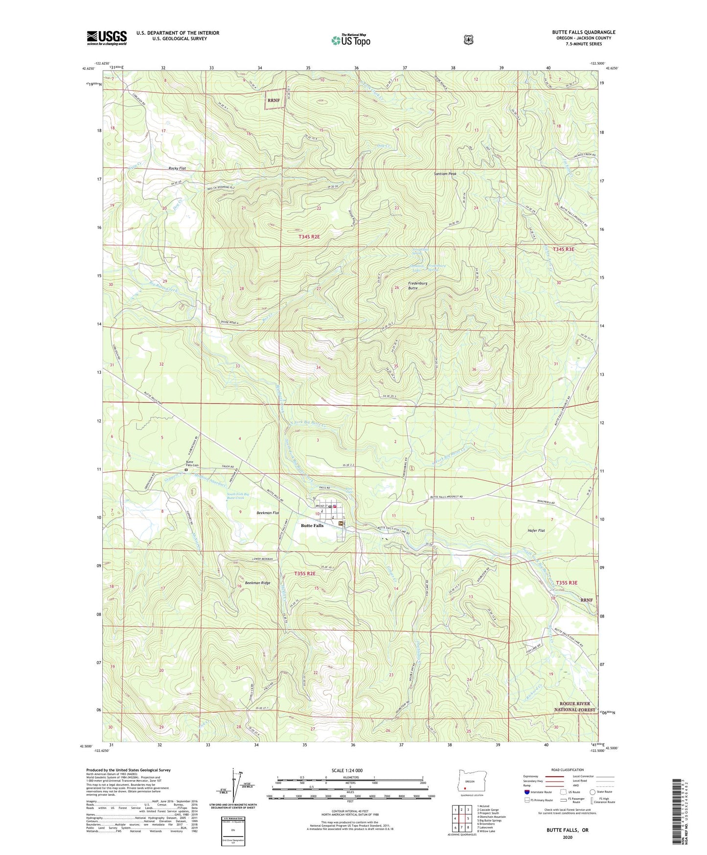
Butte Falls Oregon US Topo Map
Couldn't load pickup availability
Also explore the Butte Falls Forest Service Topo of this same quad for updated USFS data
2024 topographic map quadrangle Butte Falls in the state of Oregon. Scale: 1:24000. Based on the newly updated USGS 7.5' US Topo map series, this map is in the following counties: Jackson. The map contains contour data, water features, and other items you are used to seeing on USGS maps, but also has updated roads and other features. This is the next generation of topographic maps. Printed on high-quality waterproof paper with UV fade-resistant inks.
Quads adjacent to this one:
West: Obenchain Mountain
Northwest: McLeod
North: Cascade Gorge
Northeast: Prospect South
East: Big Butte Springs
Southeast: Willow Lake
Southwest: Brownsboro
This map covers the same area as the classic USGS quad with code o42122e5.
Contains the following named places: Beekman Flat, Beekman Ridge, Big Butte Post Office, Bill Edmonson Memorial Museum, Bowen Creek, Box Creek, Butte Falls, Butte Falls Branch Library, Butte Falls Cemetery, Butte Falls City Hall, Butte Falls Elementary School, Butte Falls Historical Society and Railway Museum Caboose, Butte Falls Municipal Court, Butte Falls Police Department, Butte Falls Post Office, Butte Falls Ranger Station, Butte Falls Secondary School, Butte Falls Sewage Treatment Plant, Butte Falls State Forest Station, Butte Falls Volunteer Fire Department, Cobleigh Ranch, Dog Creek, Doubleday Creek, Eighty Acre Creek, Fredenburg Butte, Fredenburg Ranch, Fredenburg Spring, Geppert Creek, Ginger Creek, Hafer Flat, Hukill Creek, Jerry Gotts Spring, Medford Aqueduct, North Fork Big Butte Creek, Perry School, Richard Creek, Rocky Flat, Santiam Peak, South Fork Big Butte Creek, Town of Butte Falls, ZIP Code: 97522


