MyTopo
Cabbage Hill Oregon US Topo Map
Couldn't load pickup availability
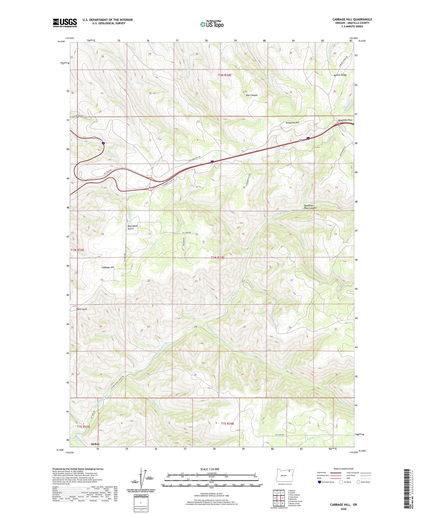
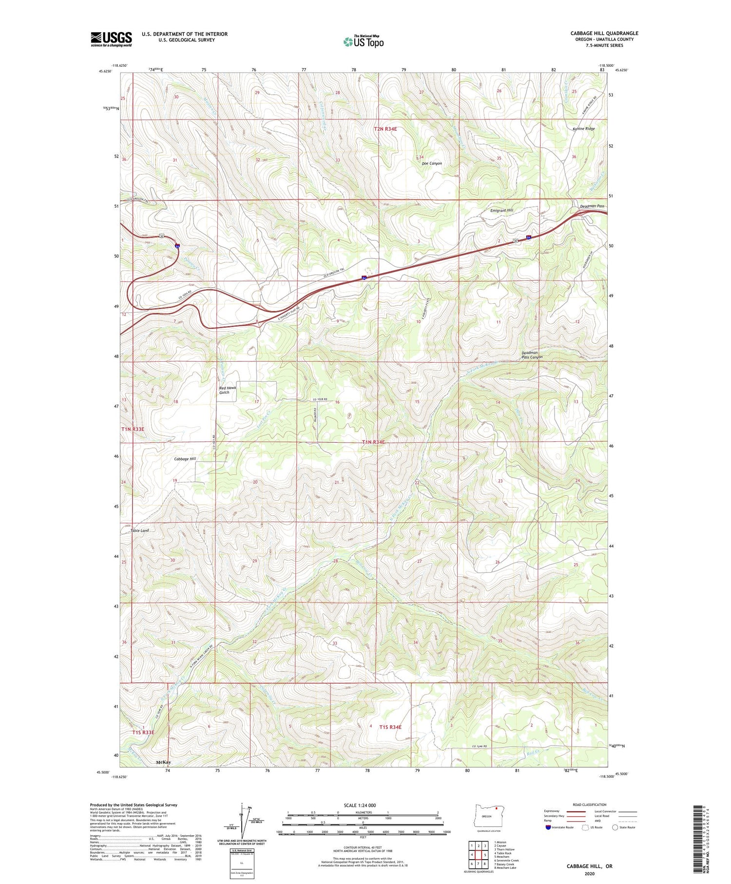
2020 topographic map quadrangle Cabbage Hill in the state of Oregon. Scale: 1:24000. Based on the newly updated USGS 7.5' US Topo map series, this map is in the following counties: Umatilla. The map contains contour data, water features, and other items you are used to seeing on USGS maps, but also has updated roads and other features. This is the next generation of topographic maps. Printed on high-quality waterproof paper with UV fade-resistant inks.
Quads adjacent to this one:
West: Table Rock
Northwest: Mission
North: Cayuse
Northeast: Thorn Hollow
East: Meacham
Southeast: Meacham Lake
South: Bassey Creek
Southwest: Sevenmile Creek
Contains the following named places: Bell Cow Creek, Boiling Point, Boiling Point Post Office, Cabbage Hill, Cabbage Hill School, Calamity Creek, Darr Creek, Deadman Pass, Deadman Pass Canyon, Deadman Pass Safety Rest Area, Emigrant Hill, KFMT - FM, Lost Pin Creek, North Fork McKay Creek