MyTopo
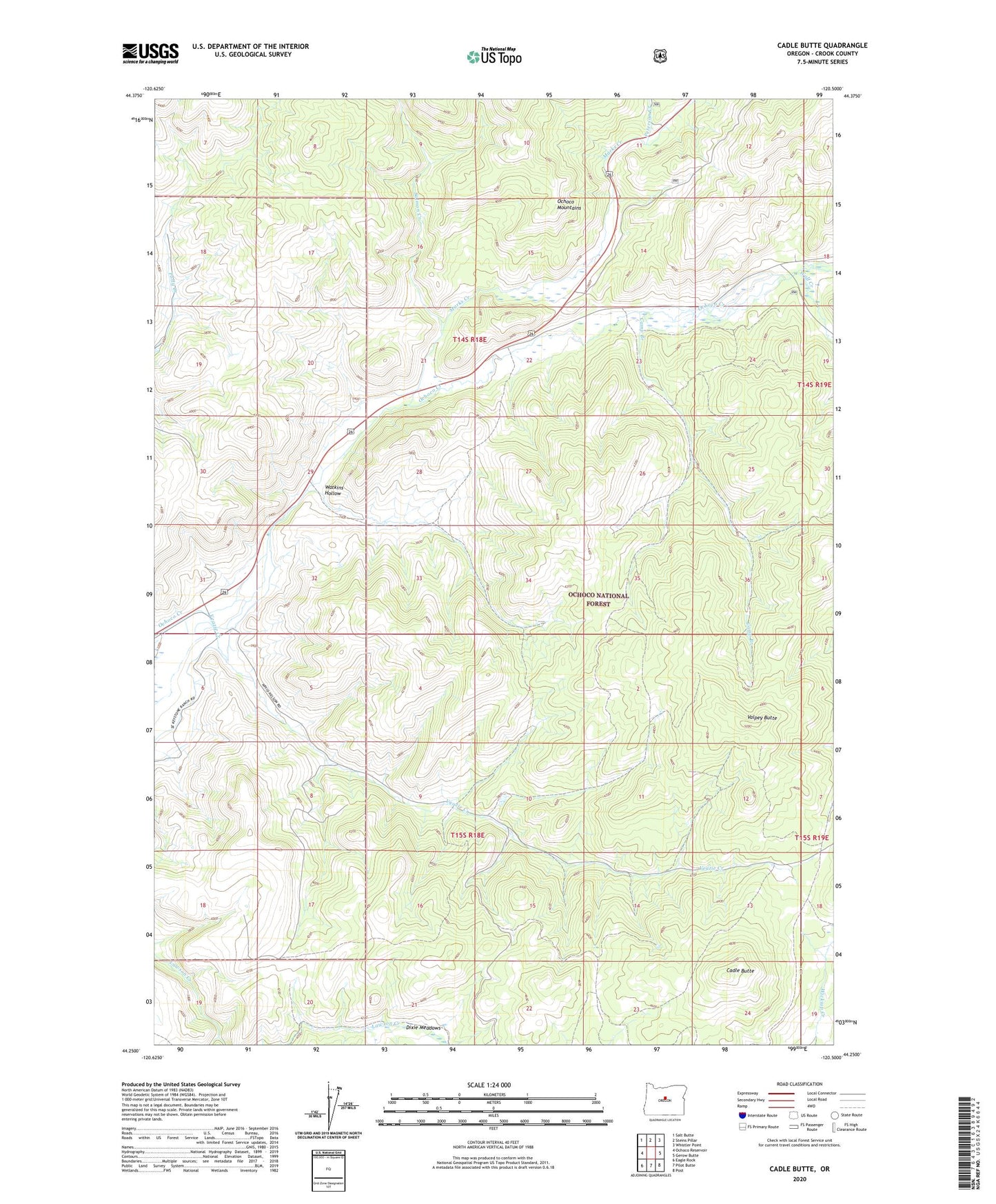
Cadle Butte Oregon US Topo Map
Couldn't load pickup availability
Also explore the Cadle Butte Forest Service Topo of this same quad for updated USFS data
2024 topographic map quadrangle Cadle Butte in the state of Oregon. Scale: 1:24000. Based on the newly updated USGS 7.5' US Topo map series, this map is in the following counties: Crook. The map contains contour data, water features, and other items you are used to seeing on USGS maps, but also has updated roads and other features. This is the next generation of topographic maps. Printed on high-quality waterproof paper with UV fade-resistant inks.
Quads adjacent to this one:
West: Ochoco Reservoir
Northwest: Salt Butte
North: Steins Pillar
Northeast: Whistler Point
East: Gerow Butte
Southeast: Post
South: Pilot Butte
Southwest: Eagle Rock
This map covers the same area as the classic USGS quad with code o44120c5.
Contains the following named places: Cadle Butte, Camp Branch, Dixie Meadows, Howard, Howard Post Office, Howard School, Keystone Ranch, Marks Creek, Peterson Creek, Salmon Creek, Smith Ditch, Valpey Butte, Veazie Creek, Watkins Hollow, Wolf Creek