MyTopo
Clarke Oregon US Topo Map
Couldn't load pickup availability
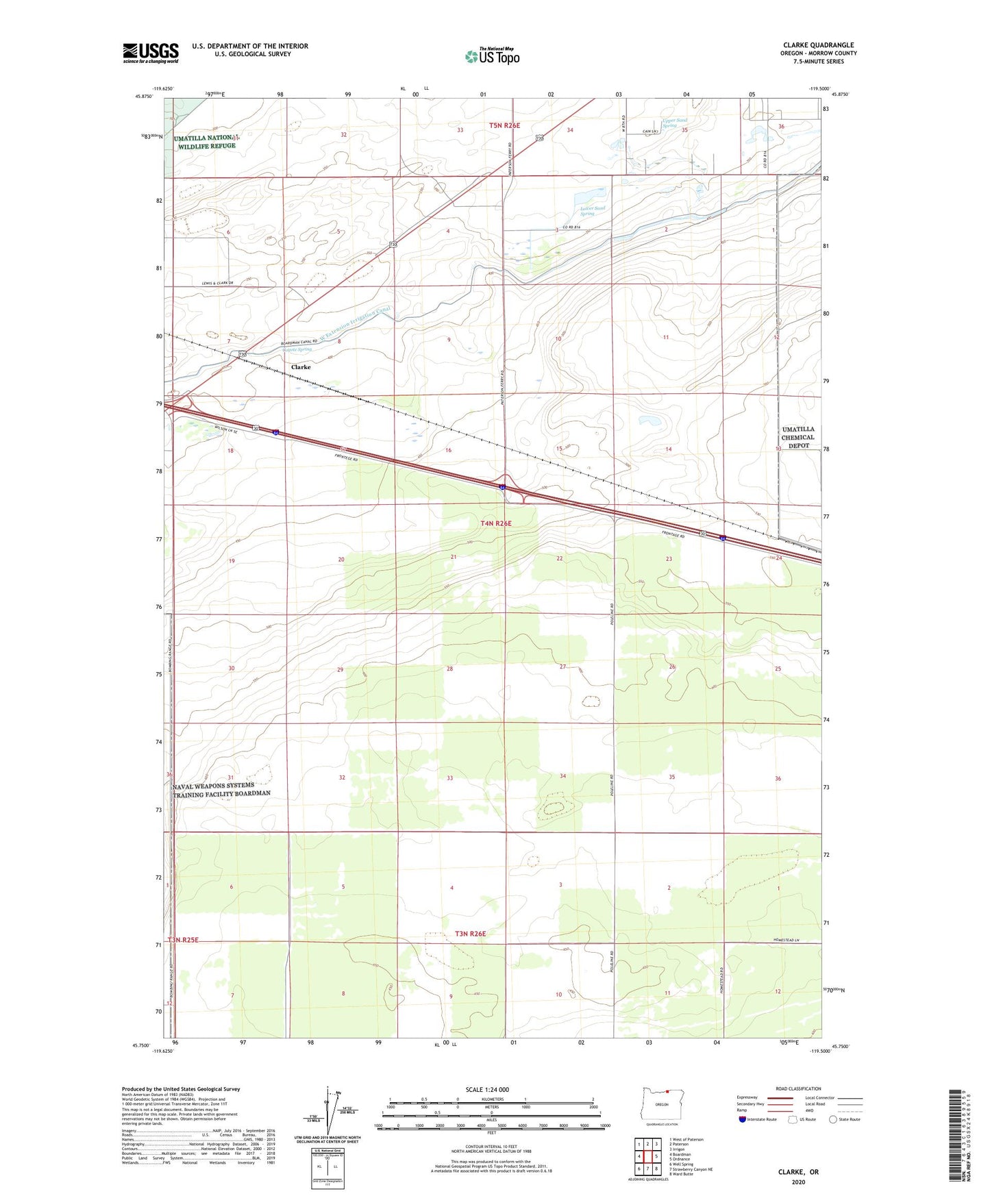
2024 topographic map quadrangle Clarke in the state of Oregon. Scale: 1:24000. Based on the newly updated USGS 7.5' US Topo map series, this map is in the following counties: Morrow. The map contains contour data, water features, and other items you are used to seeing on USGS maps, but also has updated roads and other features. This is the next generation of topographic maps. Printed on high-quality waterproof paper with UV fade-resistant inks.
Quads adjacent to this one:
West: Boardman
Northwest: West of Paterson
North: Paterson
Northeast: Irrigon
East: Ordnance
Southeast: Ward Butte
South: Strawberry Canyon NE
Southwest: Well Spring
This map covers the same area as the classic USGS quad with code o45119g5.
Contains the following named places: Boardman Junction, Boardman Oasis Roadside Rest, Clarke, Coyote Spring, Finley, Lower Sand Spring, Upper Sand Spring