MyTopo
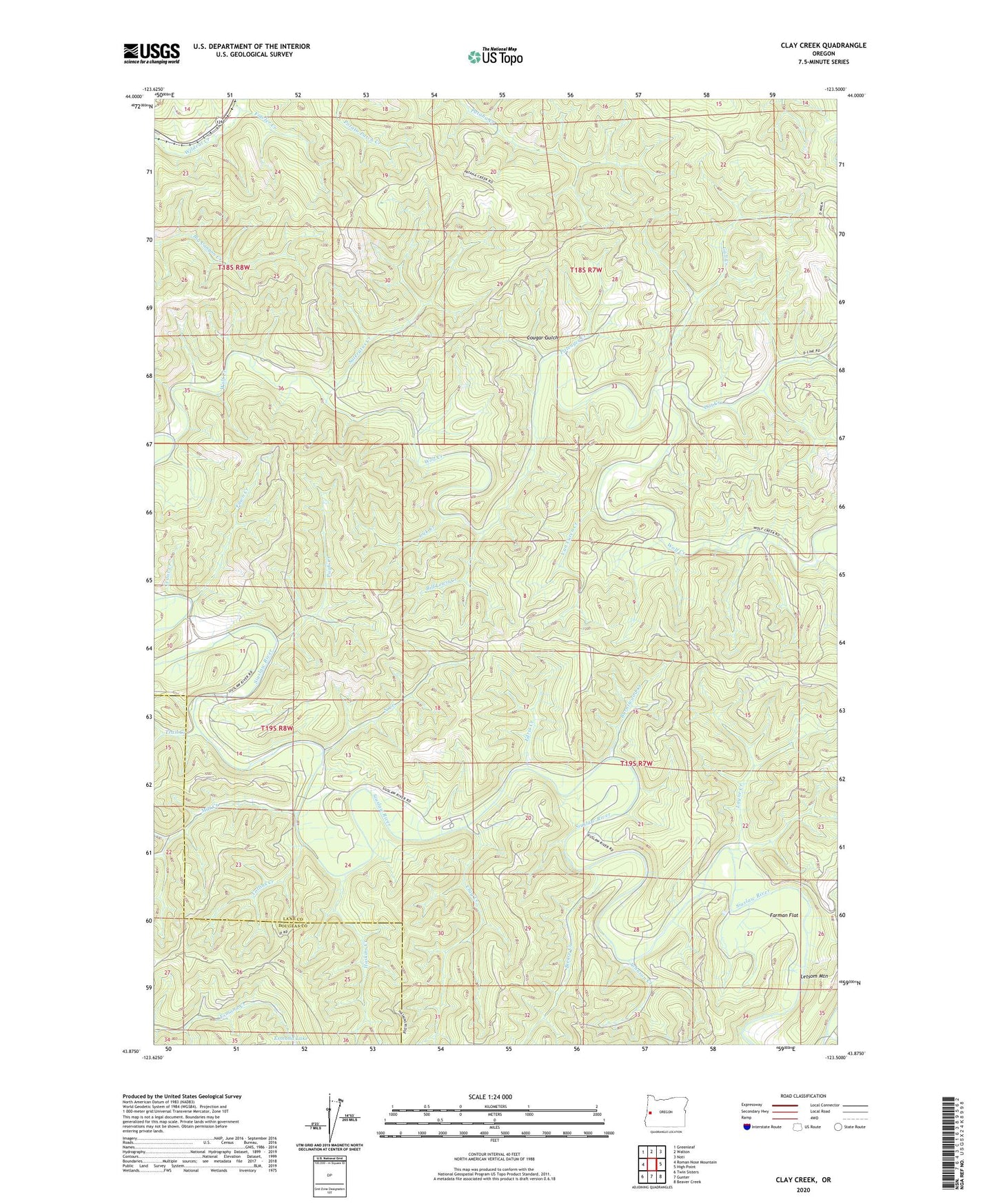
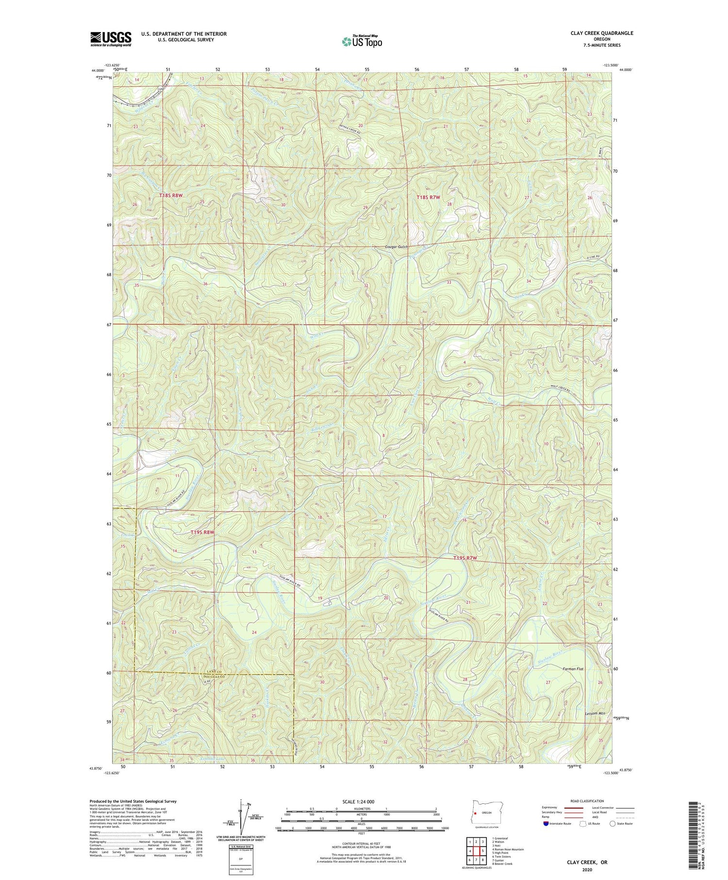
Clay Creek Oregon US Topo Map
Couldn't load pickup availability
2020 topographic map quadrangle Clay Creek in the state of Oregon. Scale: 1:24000. Based on the newly updated USGS 7.5' US Topo map series, this map is in the following counties: Lane, Douglas. The map contains contour data, water features, and other items you are used to seeing on USGS maps, but also has updated roads and other features. This is the next generation of topographic maps. Printed on high-quality waterproof paper with UV fade-resistant inks.
Quads adjacent to this one:
West: Roman Nose Mountain
Northwest: Greenleaf
North: Walton
Northeast: Noti
East: High Point
Southeast: Beaver Creek
South: Gunter
Southwest: Twin Sisters
Contains the following named places: Bierce Creek, Bill Lewis Creek, Burntwood Creek, Clay Creek, Clay Creek Recreation Site, Clay Creek Recreational Reservoir, Collins Creek, Cougar Gulch, Edris Creek, Enfield, Farman Flat, Fawn Creek, Fowler Creek, Gall Creek, Haight Creek Picnic Area, Haskins Creek, Johnson Creek, Joler, Larue Creek, Layne Creek, Lick Creek, Mill Creek, North Creek, Oat Creek, Pittenger Creek, Pugh Creek, Saleratus Creek, Siuslaw Guard Station, Trail Creek, Van Curen Creek, Wolf Creek