MyTopo
High Point Oregon US Topo Map
Couldn't load pickup availability
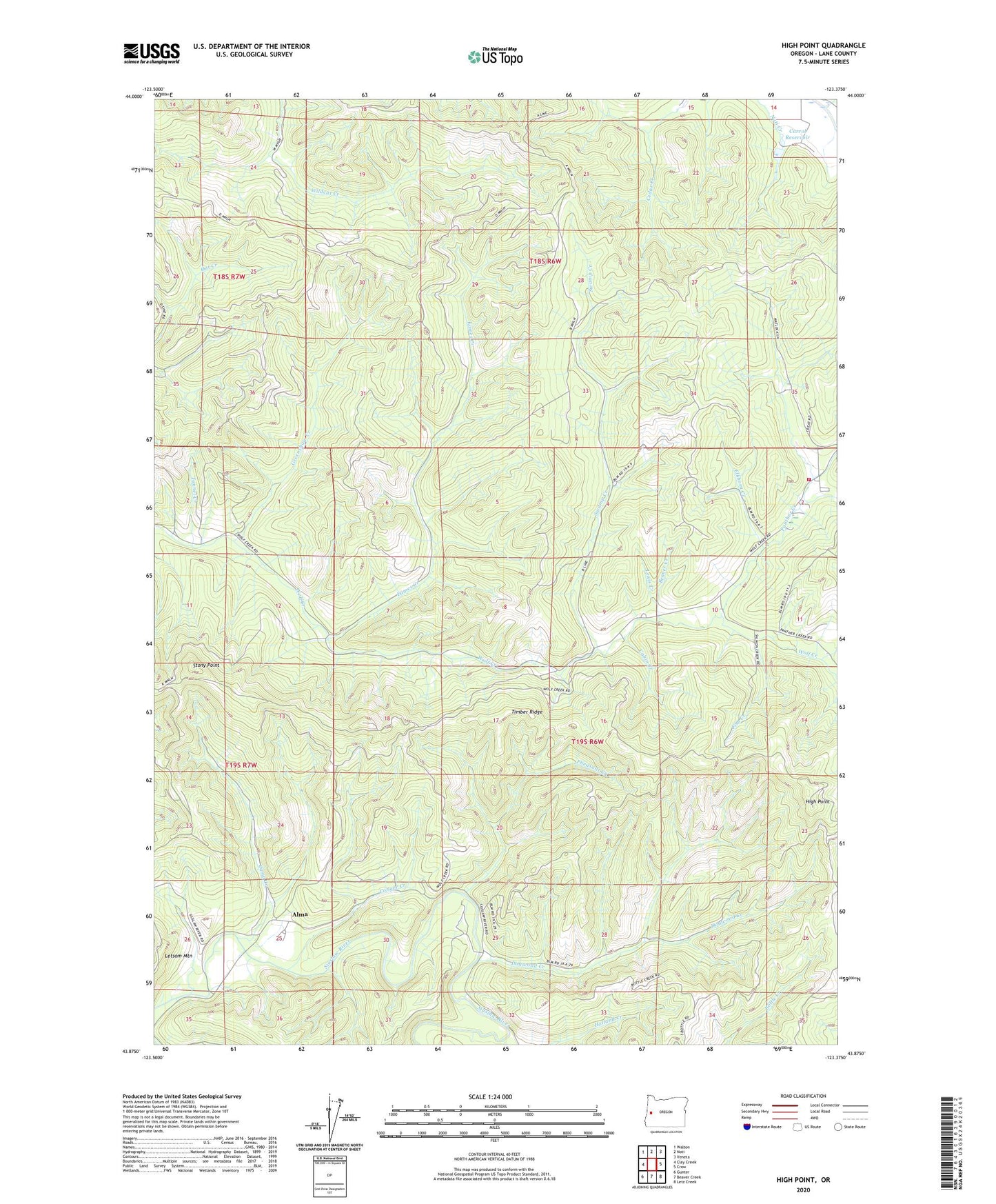
2023 topographic map quadrangle High Point in the state of Oregon. Scale: 1:24000. Based on the newly updated USGS 7.5' US Topo map series, this map is in the following counties: Lane. The map contains contour data, water features, and other items you are used to seeing on USGS maps, but also has updated roads and other features. This is the next generation of topographic maps. Printed on high-quality waterproof paper with UV fade-resistant inks.
Quads adjacent to this one:
West: Clay Creek
Northwest: Walton
North: Noti
Northeast: Veneta
East: Crow
Southeast: Letz Creek
South: Beaver Creek
Southwest: Gunter
This map covers the same area as the classic USGS quad with code o43123h4.
Contains the following named places: Alma, Alma Post Office, Beaver Creek, Cabin Creek, Camp Creek, Carrol Reservoir, Conger Creek, Deer Creek, Dogwood Creek, Eames Creek, Elkhorn Creek, Fish Creek, Greenshaw Creek, High Point, Holland Creek, Lane County Fire District 1 Station 18 - 2, Lane County Forest Work Camp, Letsom Mountain, Lewis Creek, Mound, Mound Post Office, Panther, Panther Creek, Panther Post Office, Pheasant Creek, Stony Point, Swamp Creek, Timber Ridge, Tunnel Creek, Upper Siuslaw River Division, Wolf Creek, Wolf Creek Store, ZIP Code: 97487