MyTopo
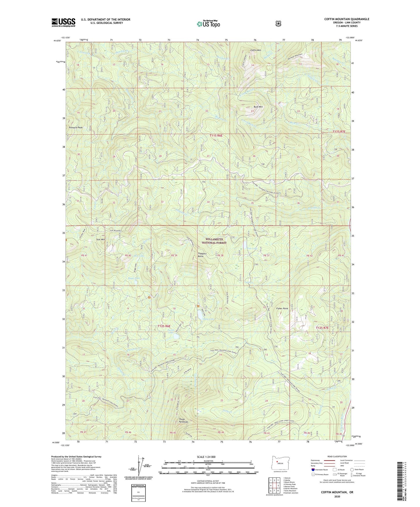
Coffin Mountain Oregon US Topo Map
Couldn't load pickup availability
Also explore the Coffin Mountain Forest Service Topo of this same quad for updated USFS data
2023 topographic map quadrangle Coffin Mountain in the state of Oregon. Scale: 1:24000. Based on the newly updated USGS 7.5' US Topo map series, this map is in the following counties: Linn. The map contains contour data, water features, and other items you are used to seeing on USGS maps, but also has updated roads and other features. This is the next generation of topographic maps. Printed on high-quality waterproof paper with UV fade-resistant inks.
Quads adjacent to this one:
West: Chimney Peak
Northwest: Detroit
North: Idanha
Northeast: Mount Bruno
East: Marion Forks
Southeast: Santiam Junction
South: Echo Mountain
Southwest: Harter Mountain
This map covers the same area as the classic USGS quad with code o44122e1.
Contains the following named places: Buck Creek, Buck Mountain, Coffin Mountain, Coffin Mountain Lookout, Coffin Mountain Trail, Daly Lake, Don Lake, Fawn Creek, Fisher Point, Hawkins Creek, Lost Creek, Lunch Creek, Lynx Creek, North Fork Buck Creek, Parish Lake, Riggs Lake, Scar Creek, Scar Mountain, Single Creek, South Fork Buck Creek, Straight Creek Cat Trail, Trappers Butte, Tule Lake