MyTopo
Coombs Canyon Oregon US Topo Map
Couldn't load pickup availability
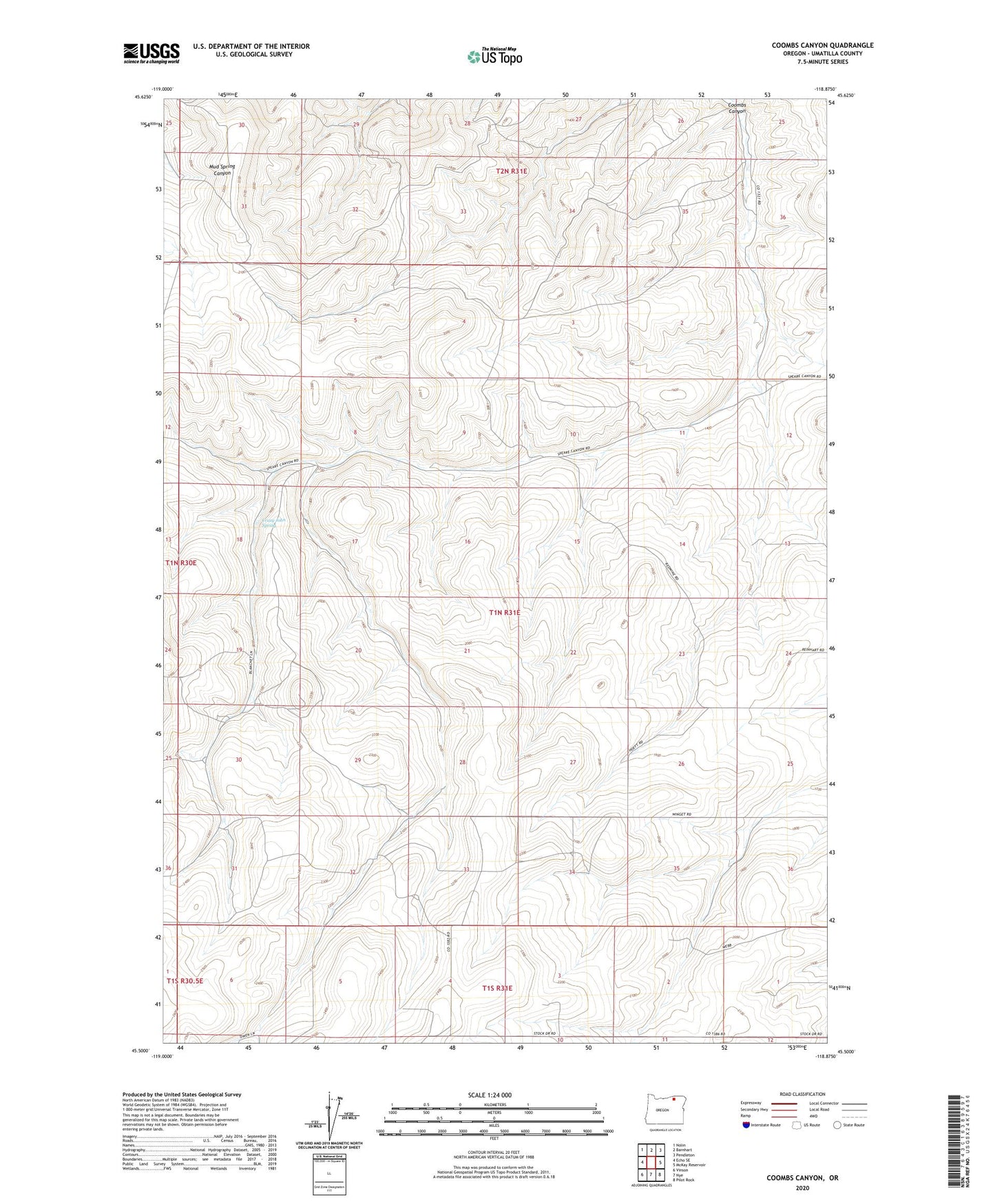
2023 topographic map quadrangle Coombs Canyon in the state of Oregon. Scale: 1:24000. Based on the newly updated USGS 7.5' US Topo map series, this map is in the following counties: Umatilla. The map contains contour data, water features, and other items you are used to seeing on USGS maps, but also has updated roads and other features. This is the next generation of topographic maps. Printed on high-quality waterproof paper with UV fade-resistant inks.
Quads adjacent to this one:
West: Echo SE
Northwest: Nolin
North: Barnhart
Northeast: Pendleton
East: McKay Reservoir
Southeast: Pilot Rock
South: Nye
Southwest: Vinson
This map covers the same area as the classic USGS quad with code o45118e8.
Contains the following named places: Burroughs Post Office, Crazy John Spring, Cross Ranch, KUMA - FM, Twin Wells