MyTopo
Crooked Creek Valley Oregon US Topo Map
Couldn't load pickup availability
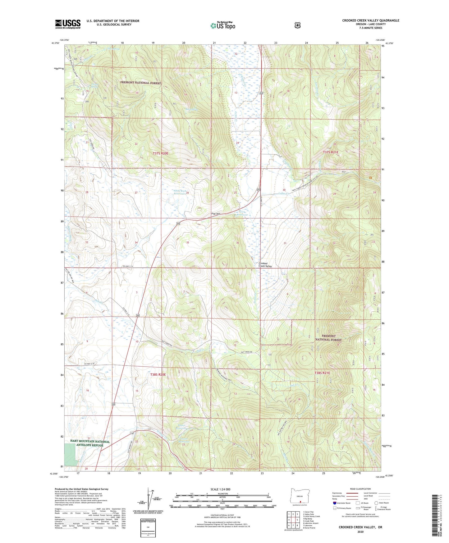
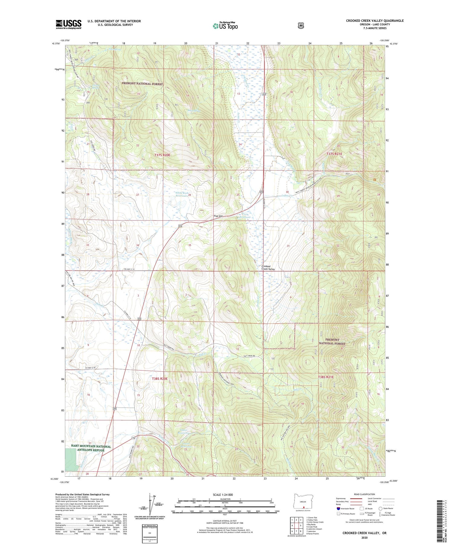
2020 topographic map quadrangle Crooked Creek Valley in the state of Oregon. Scale: 1:24000. Based on the newly updated USGS 7.5' US Topo map series, this map is in the following counties: Lake. The map contains contour data, water features, and other items you are used to seeing on USGS maps, but also has updated roads and other features. This is the next generation of topographic maps. Printed on high-quality waterproof paper with UV fade-resistant inks.
Quads adjacent to this one:
West: Big Baldy
Northwest: Clover Flat
North: Valley Falls
Northeast: Little Honey Creek
East: Crook Peak
Southeast: Horse Prairie
South: Lakeview
Southwest: Lakeview Airport
Contains the following named places: Antler Post Office, Basin Spring, Chambers Ranch, Colvert Spring, Cory Reservoir, Fawn Spring, Fisk Hill, Gunkel Ranch, Jones Creek, Kittleson Place, Little Cove Creek, Loftus Creek, Lower Reservoir, Mill Trailhead, Parker Creek, Rehart Ranch, Rehart-Salt Creek Ditch, Upper Reservoir, Warner Canyon, Weir Ranch, White Rock Dam, White Rock Ranch, White Rock Reservoirs, Wilcox Ditch, Wilson Ditch, ZIP Code: 97630