MyTopo
Eight Dollar Mountain Oregon US Topo Map
Couldn't load pickup availability
Also explore the Eight Dollar Mountain Forest Service Topo of this same quad for updated USFS data
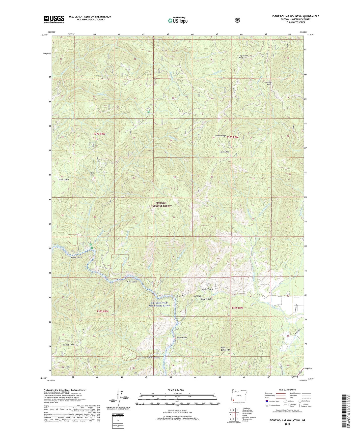
2023 topographic map quadrangle Eight Dollar Mountain in the state of Oregon. Scale: 1:24000. Based on the newly updated USGS 7.5' US Topo map series, this map is in the following counties: Josephine. The map contains contour data, water features, and other items you are used to seeing on USGS maps, but also has updated roads and other features. This is the next generation of topographic maps. Printed on high-quality waterproof paper with UV fade-resistant inks.
Quads adjacent to this one:
West: Pearsoll Peak
Northwest: York Butte
North: Chrome Ridge
Northeast: Onion Mountain
East: Selma
Southeast: Holland
South: Cave Junction
Southwest: Josephine Mountain
This map covers the same area as the classic USGS quad with code o42123c6.
Contains the following named places: Alder Gulch, Anderson Mine, Baldwin Gulch, Bour Post Office, Cedar Gulch, Clear Creek, Coonskin, Deer Creek, East Fork Squaw Creek, Eight Dollar Mountain, Eight Dollar Mountain Creek, Ellis Creek, Fayes Gulch, Gold Blanket Mine, Hoover Gulch, Horse Creek, Kerby Flat, Little Sixmile Creek, Lookout Gap, Mikes Gulch, Pocket Knoll, Serpentine Point, Shade Creek, Sixmile Creek, Snailback Creek, Spalding Pond Recreation Site, Spaulding Mill, Spring Creek, Squaw Creek, Squaw Mountain, Squaw Ridge, Star Flat, West Fork Squaw Creek, Wheeler City, Zigzag Creek