MyTopo
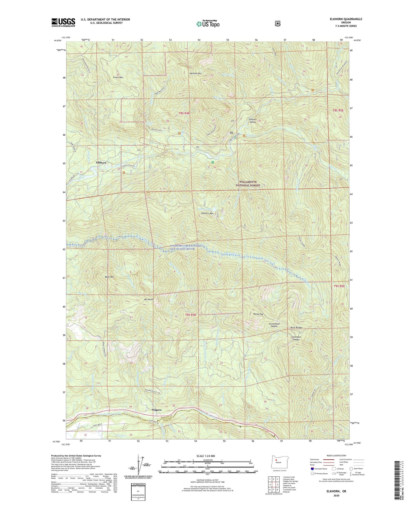
Elkhorn Oregon US Topo Map
Couldn't load pickup availability
Also explore the Elkhorn Forest Service Topo of this same quad for updated USFS data
2023 topographic map quadrangle Elkhorn in the state of Oregon. Scale: 1:24000. Based on the newly updated USGS 7.5' US Topo map series, this map is in the following counties: Marion, Linn. The map contains contour data, water features, and other items you are used to seeing on USGS maps, but also has updated roads and other features. This is the next generation of topographic maps. Printed on high-quality waterproof paper with UV fade-resistant inks.
Quads adjacent to this one:
West: Mill City North
Northwest: Gawley Creek
North: Rooster Rock
Northeast: Bagby Hot Springs
East: Battle Ax
Southeast: Detroit
South: Lawhead Creek
Southwest: Mill City South
This map covers the same area as the classic USGS quad with code o44122g3.
Contains the following named places: Arrowhead Saddle, Bad Banks Creek, Big Cliff Dam, Big Twelve Creek, Big Washout Creek, Black Eagle Mine, Bonanza Mine, Buck Mountain, Buckhorn Creek, Cedar Creek, Cold Creek, Crown Creek, Crown Mine, Cumley, Darling Creek, Dry Creek, East Gold Creek, East Stack Creek, Ed Rogers Wayside, Elkhorn, Elkhorn Creek Wild and Scenic River, Elkhorn Lake, Elkhorn Mountain, Elkhorn Post Office, Evans Creek, Evans Mountain, Fawn Creek, Gold Creek, Green Basin Post Office, Green Creek, Gun Creek, Henline Creek, Henline Falls, Henline Mountain, Henline Mountain Lookout, Horn Creek, Lakewood, Little Cedar Creek, Little Sardine Creek, Little Sweden, Little Washout Creek, Lodore Creek, Marion County Packsaddle Park Boat Ramp, Minto Dam, Mount Horeb, Niagara, Niagara County Park, Niagara Creek, Niagara Post Office, Packsaddle County Park, Pearl Creek Guard Station, R G Balderee Logging Company, Rock Bridge, Rocky Top, Salmon Falls, Salmon Falls County Park, Sevenmile Creek, Shady Cove Recreation Site, Silver King Mine, Silver Star Mine, Stack Creek, Steampot Saddle, Sullivan Creek, Sullivan Creek Falls, Three Pools, Three Pools Recreation Site, Tincup Creek, Trout Creek, ZIP Code: 97346


