
MyTopo
Elkton Oregon US Topo Map
Couldn't load pickup availability
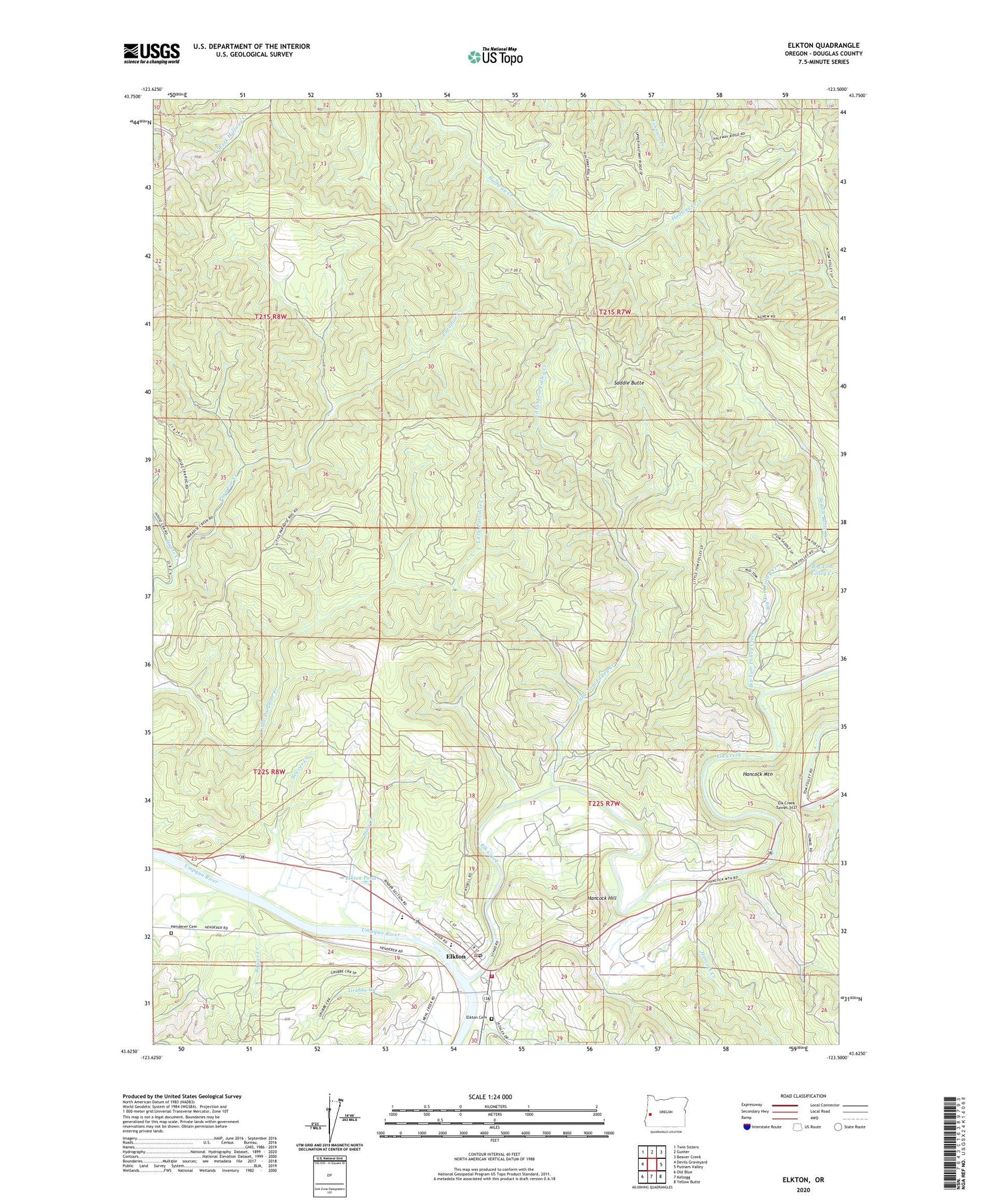
2020 topographic map quadrangle Elkton in the state of Oregon. Scale: 1:24000. Based on the newly updated USGS 7.5' US Topo map series, this map is in the following counties: Douglas. The map contains contour data, water features, and other items you are used to seeing on USGS maps, but also has updated roads and other features. This is the next generation of topographic maps. Printed on high-quality waterproof paper with UV fade-resistant inks.
Quads adjacent to this one:
West: Devils Graveyard
Northwest: Twin Sisters
North: Gunter
Northeast: Beaver Creek
East: Putnam Valley
Southeast: Yellow Butte
South: Kellogg
Southwest: Old Blue
Contains the following named places: Beaver Creek, Big Tom Folley Creek, Bower Creek, Buzzard Bay County Park, City of Elkton, Elk Creek, Elk Creek Guard Station, Elk Creek Tunnel 3437, Elk Creek Tunnel Forest State Park, Elkton, Elkton Cemetery, Elkton Christian Church, Elkton City Hall, Elkton Community Education Center, Elkton Grade School, Elkton High School, Elkton Pond, Elkton Post Office, Elkton Public Works, Elkton Rural Fire Protection District, Elkton Wastewater Treatment Facility, Elkton Water Treatment Plant, Grubbe Creek, Haines Creek, Hancock Creek, Hancock Hill, Hancock Mountain, Hart Creek, Henderer Cemetery, House Creek, Little Tom Folley Creek, Saddle Butte, Saddle Butte Creek, ZIP Code: 97436


