MyTopo
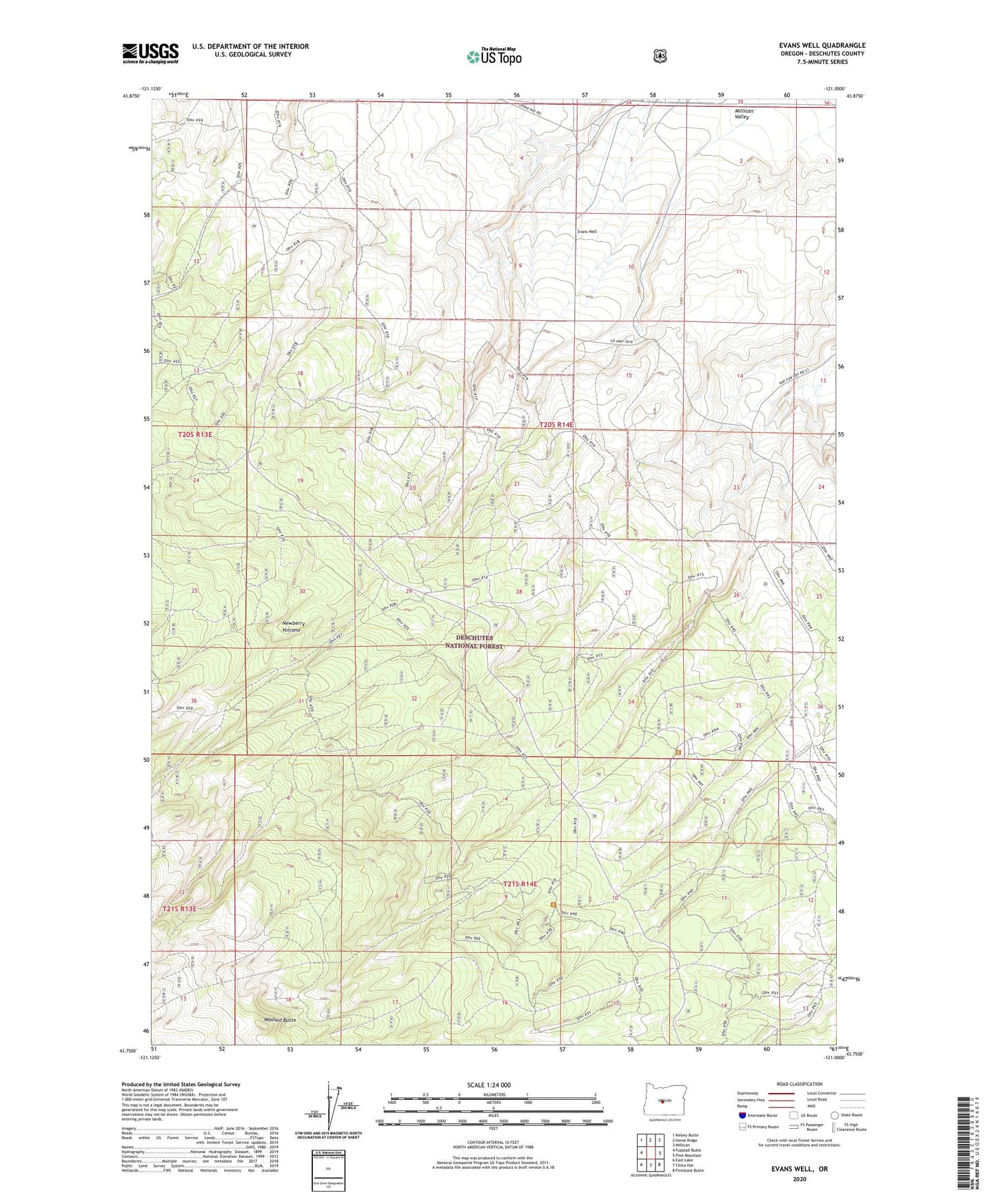
Evans Well Oregon US Topo Map
Couldn't load pickup availability
Also explore the Evans Well Forest Service Topo of this same quad for updated USFS data
2023 topographic map quadrangle Evans Well in the state of Oregon. Scale: 1:24000. Based on the newly updated USGS 7.5' US Topo map series, this map is in the following counties: Deschutes. The map contains contour data, water features, and other items you are used to seeing on USGS maps, but also has updated roads and other features. This is the next generation of topographic maps. Printed on high-quality waterproof paper with UV fade-resistant inks.
Quads adjacent to this one:
West: Fuzztail Butte
Northwest: Kelsey Butte
North: Horse Ridge
Northeast: Millican
East: Pine Mountain
Southeast: Firestone Butte
South: China Hat
Southwest: East Lake
This map covers the same area as the classic USGS quad with code o43121g1.
Contains the following named places: Camp II Trailhead, Camp One, Camp Two, Evans Well, Kayuc Draw, Lalish Draw, Road 25 Recreation Site, Smith Well, Washed Butte