MyTopo
Kelsey Butte Oregon US Topo Map
Couldn't load pickup availability
Also explore the Kelsey Butte Forest Service Topo of this same quad for updated USFS data
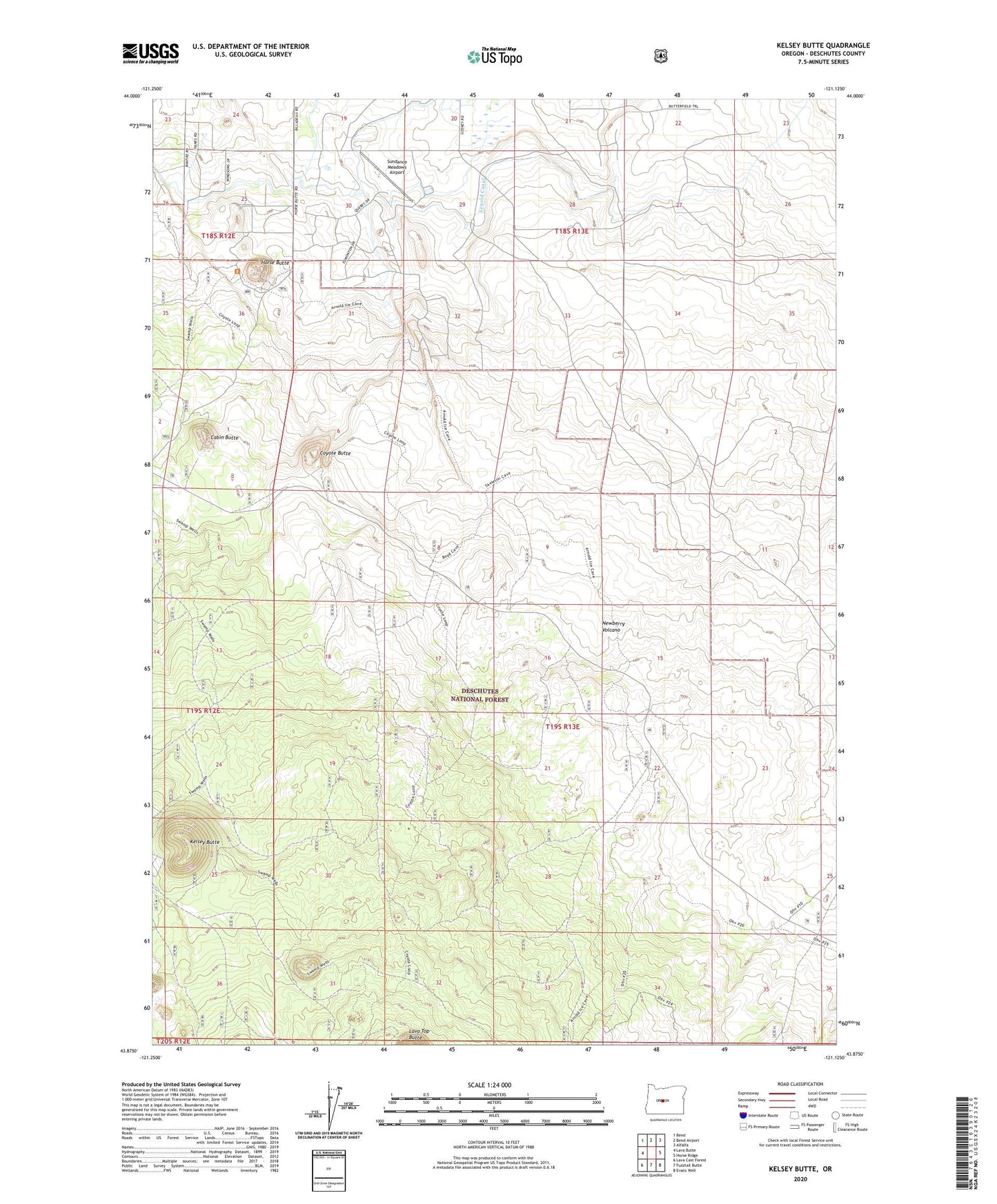
2023 topographic map quadrangle Kelsey Butte in the state of Oregon. Scale: 1:24000. Based on the newly updated USGS 7.5' US Topo map series, this map is in the following counties: Deschutes. The map contains contour data, water features, and other items you are used to seeing on USGS maps, but also has updated roads and other features. This is the next generation of topographic maps. Printed on high-quality waterproof paper with UV fade-resistant inks.
Quads adjacent to this one:
West: Lava Butte
Northwest: Bend
North: Bend Airport
Northeast: Alfalfa
East: Horse Ridge
Southeast: Evans Well
South: Fuzztail Butte
Southwest: Lava Cast Forest
This map covers the same area as the classic USGS quad with code o43121h2.
Contains the following named places: Cabin Butte, Coyote Butte, Deschutes County, Horse Butte, Horse Butte Trailhead, Kelsey Butte, Sundance Meadows Airport