MyTopo
Houston Lake Oregon US Topo Map
Couldn't load pickup availability
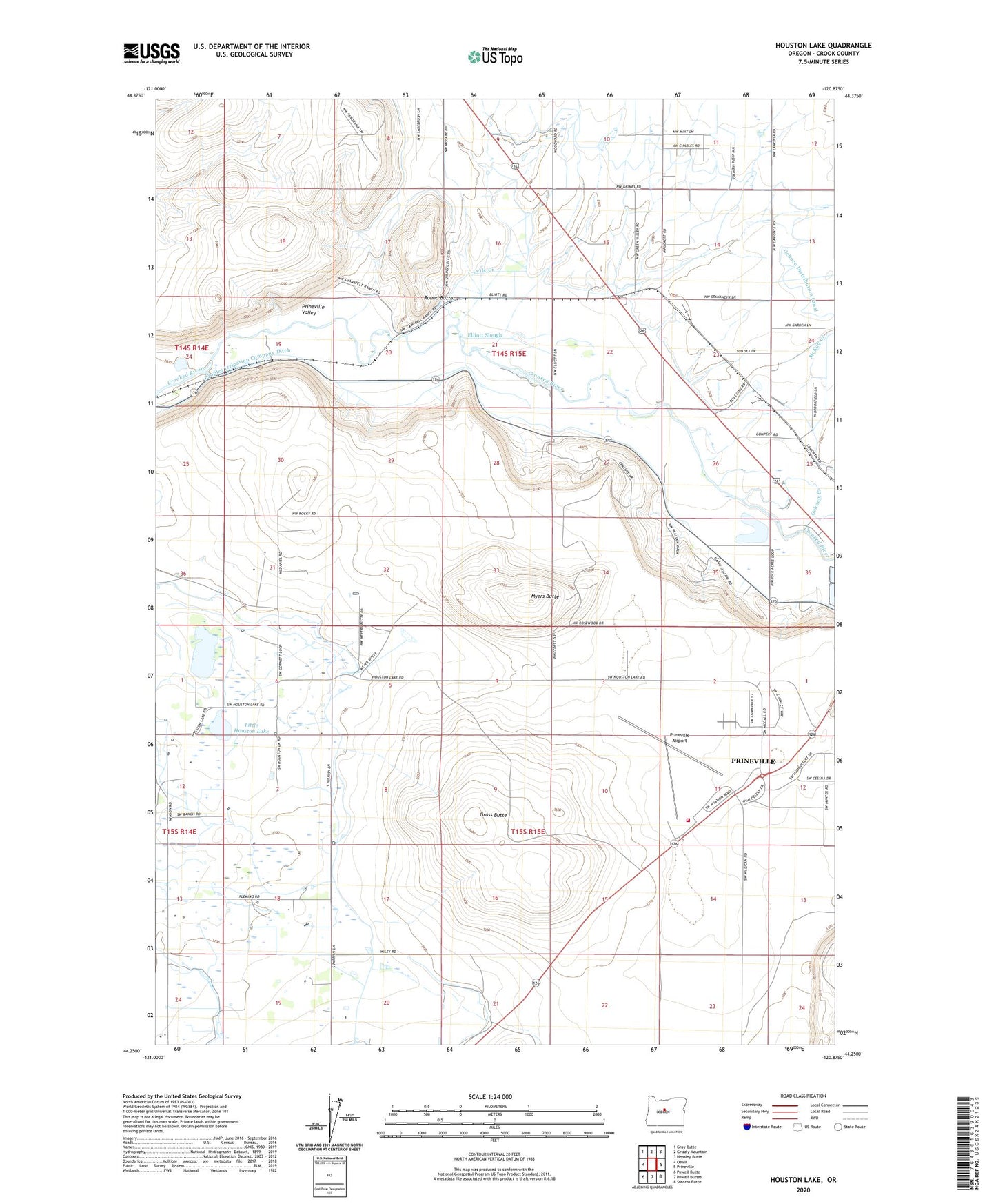
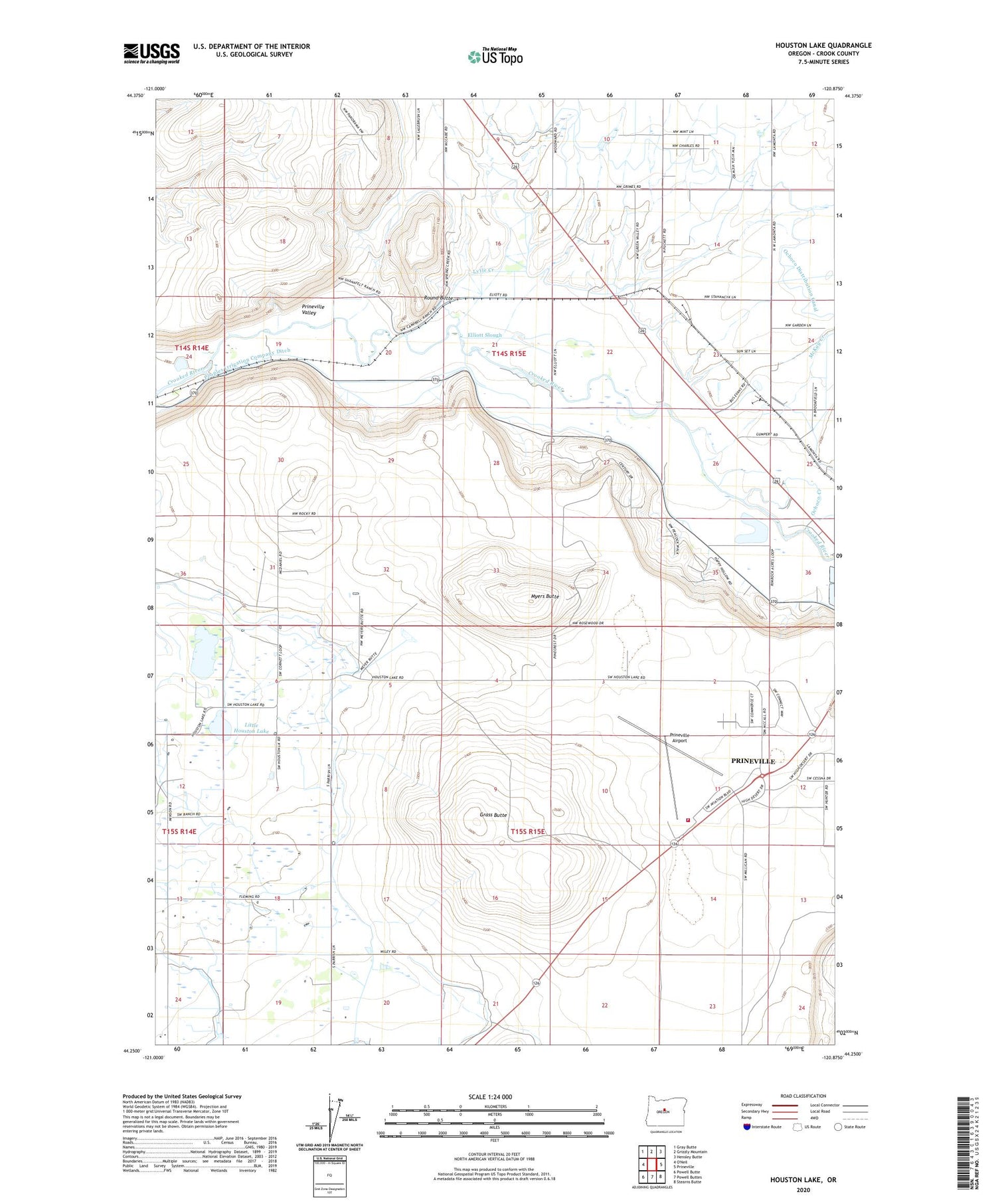
2020 topographic map quadrangle Houston Lake in the state of Oregon. Scale: 1:24000. Based on the newly updated USGS 7.5' US Topo map series, this map is in the following counties: Crook. The map contains contour data, water features, and other items you are used to seeing on USGS maps, but also has updated roads and other features. This is the next generation of topographic maps. Printed on high-quality waterproof paper with UV fade-resistant inks.
Quads adjacent to this one:
Northwest: Gray Butte
North: Grizzly Mountain
Northeast: Hensley Butte
East: Prineville
Southeast: Stearns Butte
South: Powell Buttes
Southwest: Powell Butte
Contains the following named places: Central Oregon Helitak Prineville Helibase, Elliott Slough, Grass Butte, Houston Lake, KRCO-AM, Little Houston Lake, Lytle Creek, McKay Creek, Montgomery Spur, Myers Butte, Ochoco Creek, Peoples Irrigation Company Ditch, Prineville Airport, Prineville Bureau of Land Management Heliport, Prineville Valley, Round Butte, Slayton Spur, Wilton, Windy Acres Dairy Farm