MyTopo
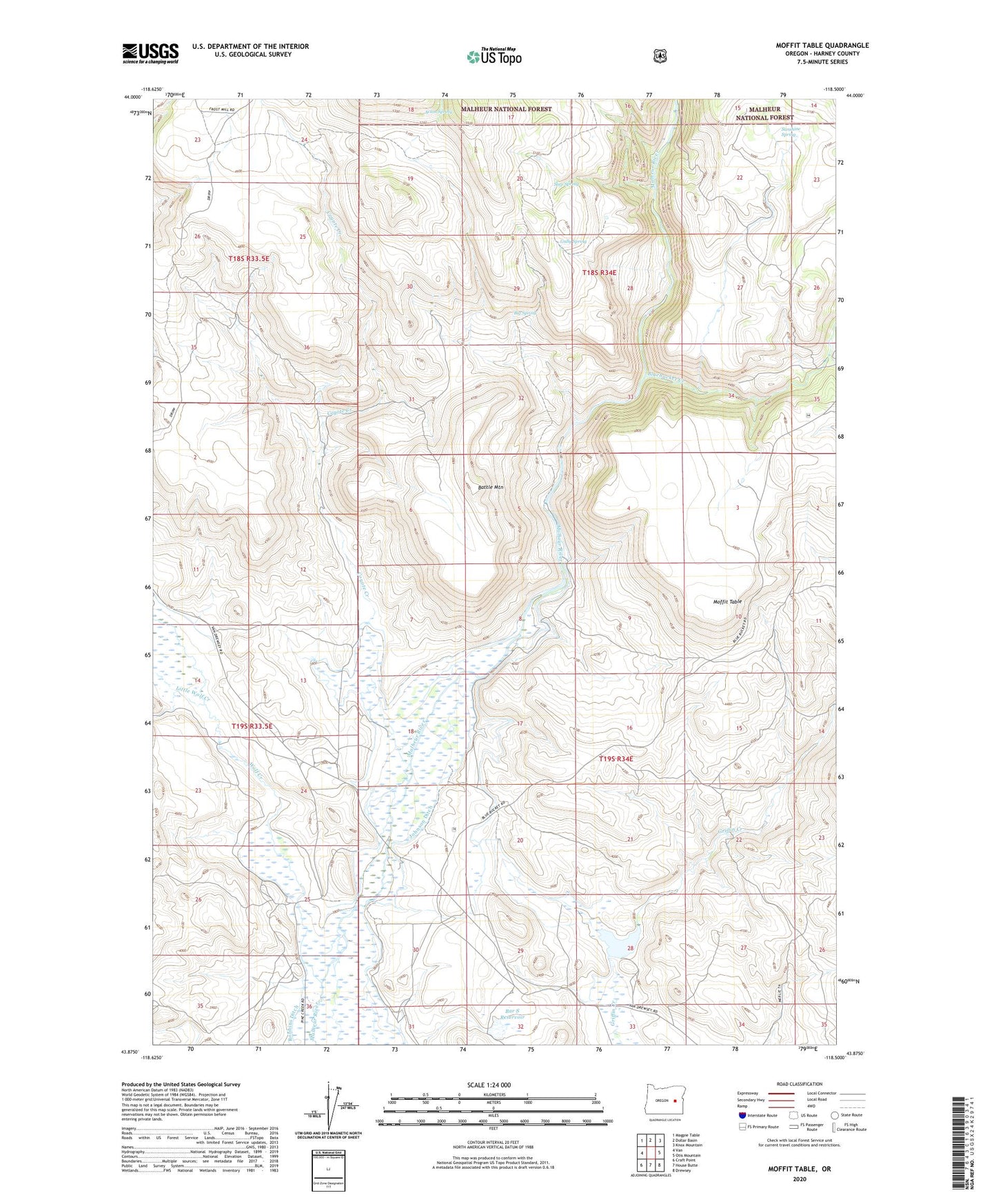
Moffit Table Oregon US Topo Map
Couldn't load pickup availability
Also explore the Moffit Table Forest Service Topo of this same quad for updated USFS data
2023 topographic map quadrangle Moffit Table in the state of Oregon. Scale: 1:24000. Based on the newly updated USGS 7.5' US Topo map series, this map is in the following counties: Harney. The map contains contour data, water features, and other items you are used to seeing on USGS maps, but also has updated roads and other features. This is the next generation of topographic maps. Printed on high-quality waterproof paper with UV fade-resistant inks.
Quads adjacent to this one:
West: Van
Northwest: Magpie Table
North: Dollar Basin
Northeast: Knox Mountain
East: Otis Mountain
Southeast: Drewsey
South: House Butte
Southwest: Craft Point
This map covers the same area as the classic USGS quad with code o43118h5.
Contains the following named places: Acton Spring, Alvin Baker Ranch, Azley Acton Cow Camp, Bar S Reservoir, Battle Mountain, Big Spring, Bluebucket Creek, Coyote Creek, George Riley Ranch, Griffin Creek Dam, Griffin Creek Reservoir, Gully Spring, Jack Miller Ranch, Joel Sword Ranch, Johnson Ditch, Little Wolf Creek, Moffit Table, Old Peterson Ranch, Robbins Ditch, Seep Spring, Shelly Ranch, Sunshine Spring, Wolf Creek, ZIP Code: 97904