MyTopo
Potters Ponds Oregon US Topo Map
Couldn't load pickup availability
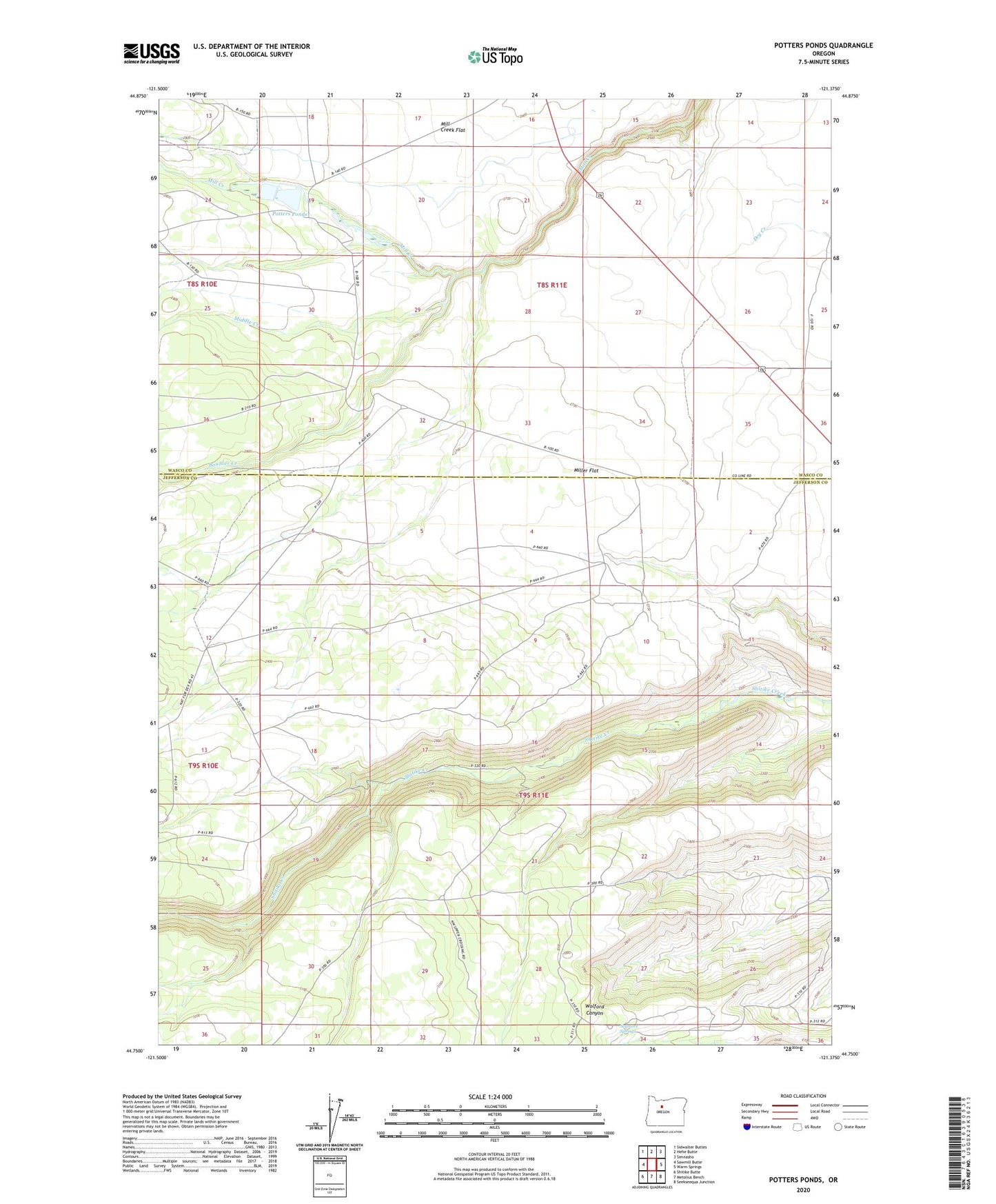
2023 topographic map quadrangle Potters Ponds in the state of Oregon. Scale: 1:24000. Based on the newly updated USGS 7.5' US Topo map series, this map is in the following counties: Jefferson, Wasco. The map contains contour data, water features, and other items you are used to seeing on USGS maps, but also has updated roads and other features. This is the next generation of topographic maps. Printed on high-quality waterproof paper with UV fade-resistant inks.
Quads adjacent to this one:
West: Sawmill Butte
Northwest: Sidwalter Buttes
North: Hehe Butte
Northeast: Simnasho
East: Warm Springs
Southeast: Seekseequa Junction
South: Metolius Bench
Southwest: Shitike Butte
This map covers the same area as the classic USGS quad with code o44121g4.
Contains the following named places: Boulder Corral, Boulder Creek, Middle Creek, Miller Flat, Potters Ponds, Seymore Springs, Sidwalter Corral, Warm Springs Reservation