MyTopo
Shaniko Summit Oregon US Topo Map
Couldn't load pickup availability
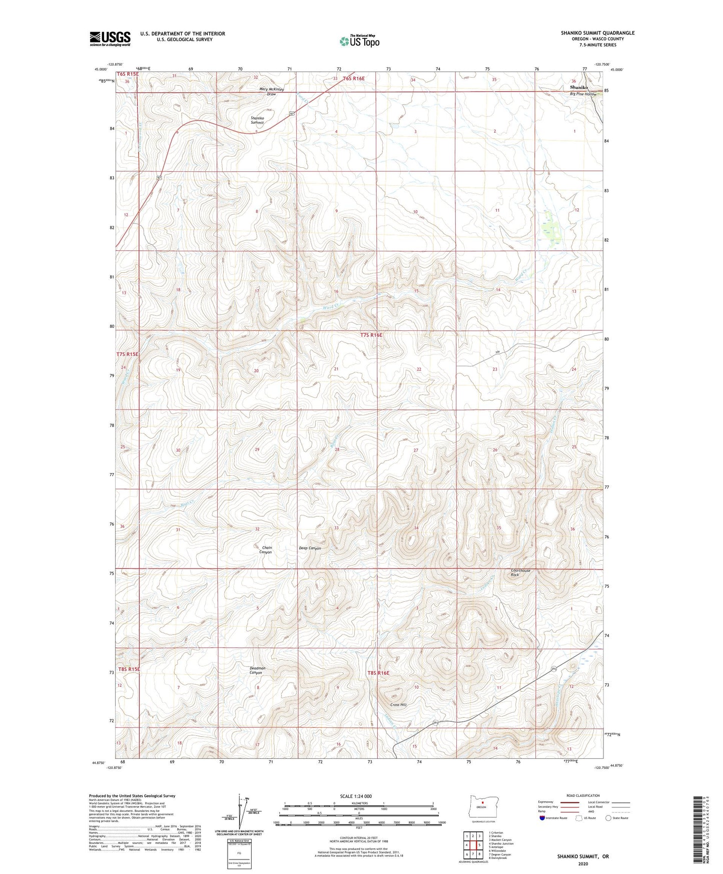
2023 topographic map quadrangle Shaniko Summit in the state of Oregon. Scale: 1:24000. Based on the newly updated USGS 7.5' US Topo map series, this map is in the following counties: Wasco. The map contains contour data, water features, and other items you are used to seeing on USGS maps, but also has updated roads and other features. This is the next generation of topographic maps. Printed on high-quality waterproof paper with UV fade-resistant inks.
Quads adjacent to this one:
West: Shaniko Junction
Northwest: Criterion
North: Shaniko
Northeast: Macken Canyon
East: Antelope
Southeast: Donnybrook
South: Degner Canyon
Southwest: Willowdale
This map covers the same area as the classic USGS quad with code o44120h7.
Contains the following named places: Antelope Division, Courthouse Rock, Cross Hill, Cross Hollows, Cross Hollows Post Office, Rooper Ranch, Shaniko Summit