MyTopo
Shaniko Junction Oregon US Topo Map
Couldn't load pickup availability
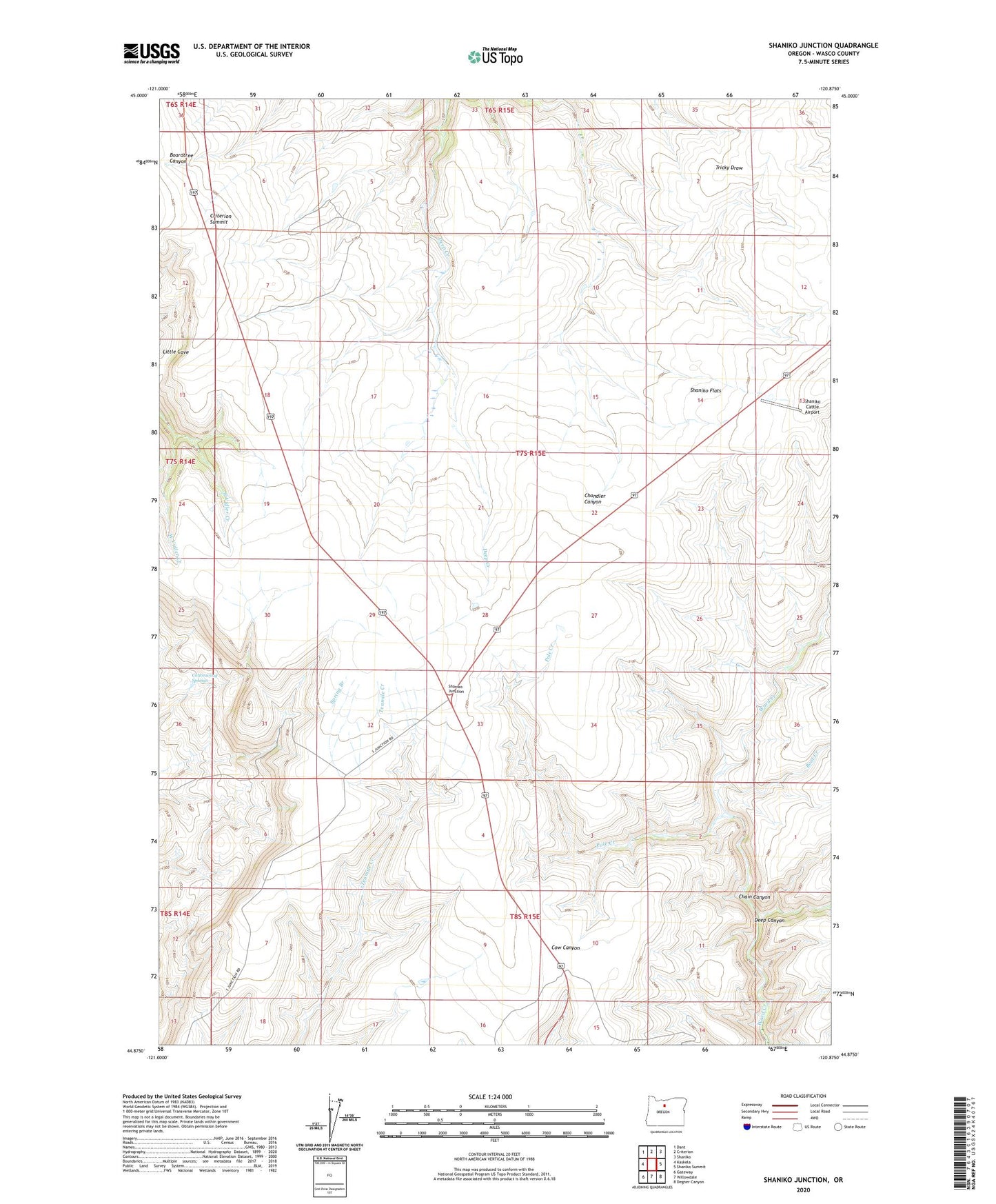
2023 topographic map quadrangle Shaniko Junction in the state of Oregon. Scale: 1:24000. Based on the newly updated USGS 7.5' US Topo map series, this map is in the following counties: Wasco. The map contains contour data, water features, and other items you are used to seeing on USGS maps, but also has updated roads and other features. This is the next generation of topographic maps. Printed on high-quality waterproof paper with UV fade-resistant inks.
Quads adjacent to this one:
West: Kaskela
Northwest: Dant
North: Criterion
Northeast: Shaniko
East: Shaniko Summit
Southeast: Degner Canyon
South: Willowdale
Southwest: Gateway
This map covers the same area as the classic USGS quad with code o44120h8.
Contains the following named places: Boot Creek, Chain Canyon, Cottonwood Springs, Criterion Summit, Deep Canyon, East Vidler Creek, Little Cove, Pole Creek, Ridgeway Post Office, Shaniko Cattle Airport, Shaniko Flats, Shaniko Junction, West Vidler Creek