MyTopo
Soldier Camp Mountain Oregon US Topo Map
Couldn't load pickup availability
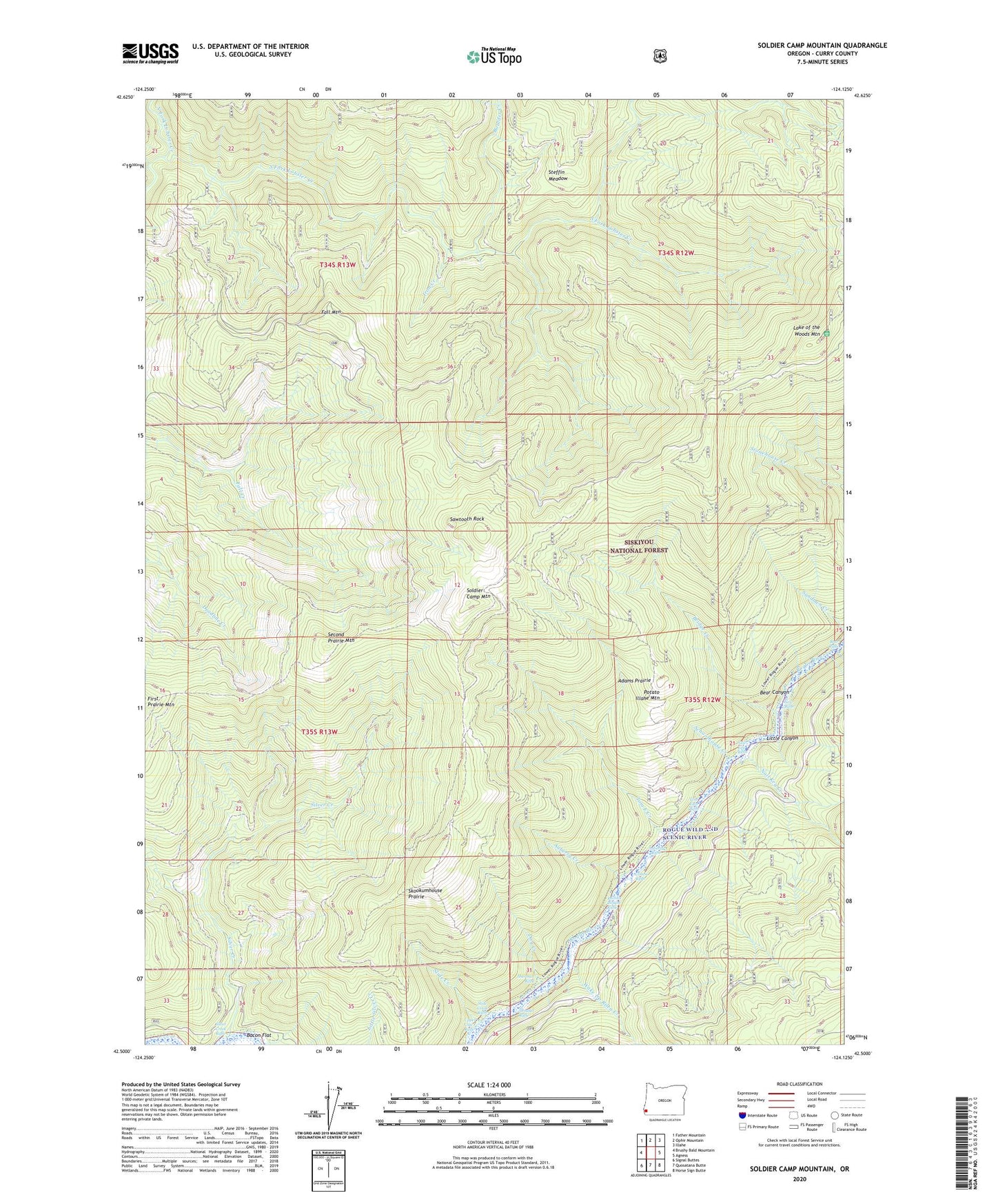
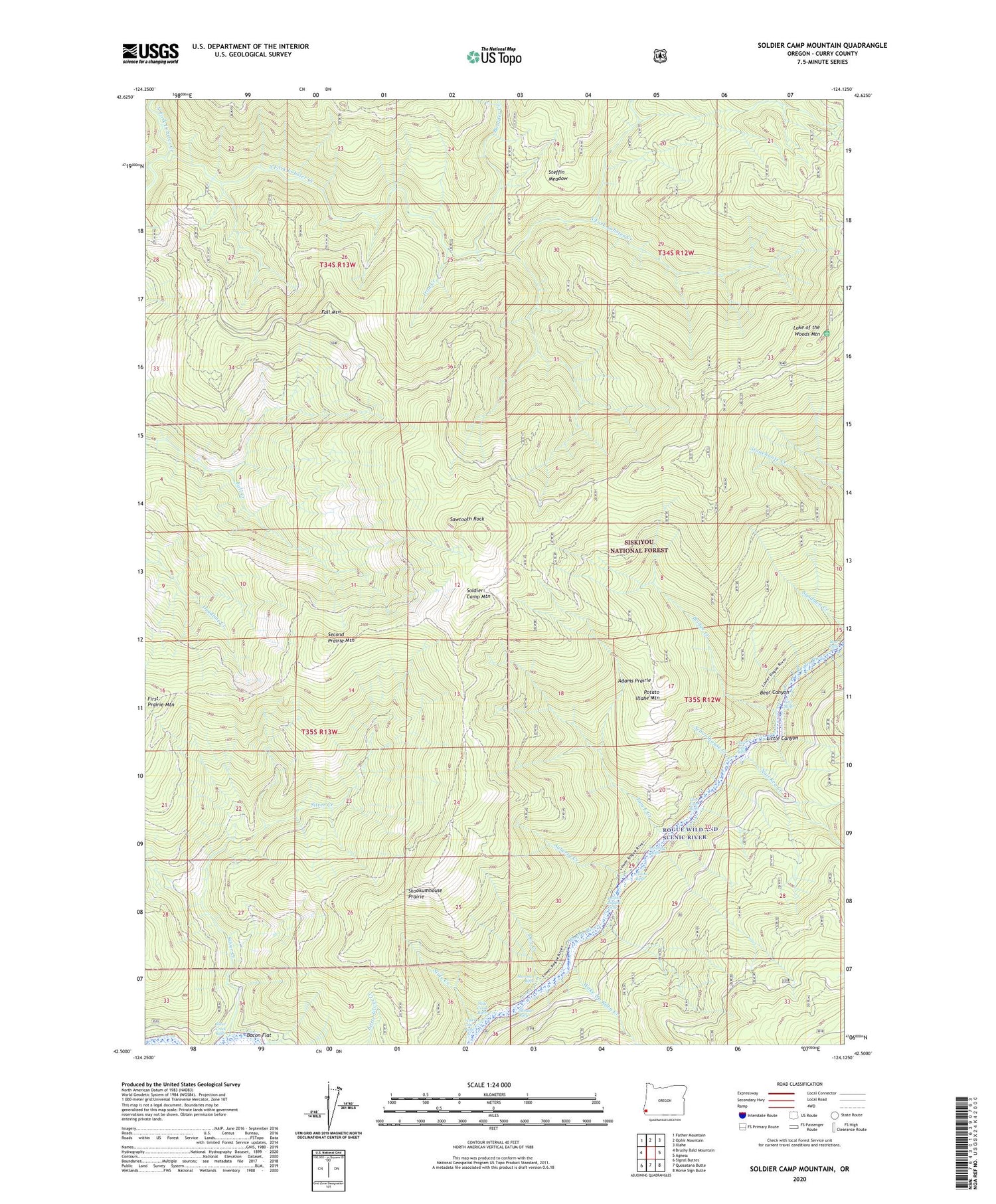
2020 topographic map quadrangle Soldier Camp Mountain in the state of Oregon. Scale: 1:24000. Based on the newly updated USGS 7.5' US Topo map series, this map is in the following counties: Curry. The map contains contour data, water features, and other items you are used to seeing on USGS maps, but also has updated roads and other features. This is the next generation of topographic maps. Printed on high-quality waterproof paper with UV fade-resistant inks.
Quads adjacent to this one:
West: Brushy Bald Mountain
Northwest: Father Mountain
North: Ophir Mountain
Northeast: Illahe
East: Agness
Southeast: Horse Sign Butte
South: Quosatana Butte
Southwest: Signal Buttes
Contains the following named places: Adams Prairie, Auberry Creek, Auberry Riffle, Bacon Flat, Bear Canyon, Bear Riffle, Boulder Creek, Bridge Creek, Combs Riffle, Dog Creek, Fall Mountain, Iron Creek, JoAnn Creek, Lake of the Woods Mountain, Little Canyon, Lower River Trail, Nail Keg Creek, Nail Keg Riffle, New Riffle, North Fork Lobster Creek, Potato Illahe Mountain, Rachels Delight Riffle, Sawtooth Rock, Schoolhouse Creek, Second Prairie Mountain, Sherman Riffle, Shindler Riffle, Silver Creek, Silver Creek Riffle, Skookumhouse Prairie, Slide Creek, Slide Creek Riffle, Soldier Camp Mountain, South Fork Lobster Creek, Steffin Meadow, Tom East Creek, Tom East Riffle, Upper Coal Riffle, Wake Up Rilea Creek