MyTopo
Sparta Oregon US Topo Map
Couldn't load pickup availability
Also explore the Sparta Forest Service Topo of this same quad for updated USFS data
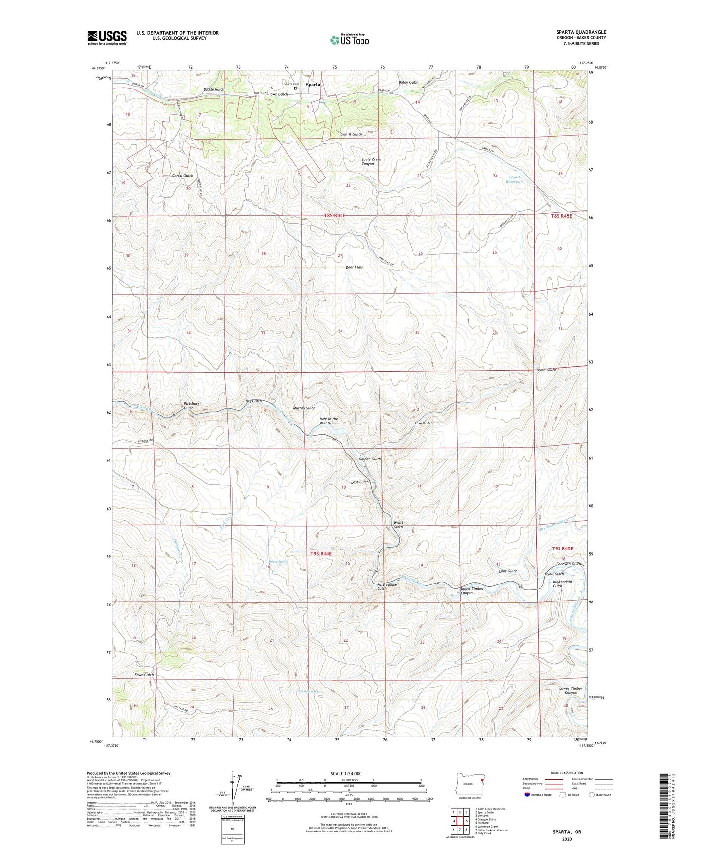
2023 topographic map quadrangle Sparta in the state of Oregon. Scale: 1:24000. Based on the newly updated USGS 7.5' US Topo map series, this map is in the following counties: Baker. The map contains contour data, water features, and other items you are used to seeing on USGS maps, but also has updated roads and other features. This is the next generation of topographic maps. Printed on high-quality waterproof paper with UV fade-resistant inks.
Quads adjacent to this one:
West: Glasgow Butte
Northwest: Balm Creek Reservoir
North: Sparta Butte
Northeast: Jimtown
East: Richland
Southeast: Daly Creek
South: Little Lookout Mountain
Southwest: Lawrence Creek
This map covers the same area as the classic USGS quad with code o44117g3.
Contains the following named places: Baldy Gulch, Blue Gulch, Boyce spring, Canyon Creek, Crystal Palace Mine, Deer Flats, Del Monte Mine, Dry Gulch, Eagle Creek Canyon, Eagle Valley Division, Gem Mine, Gem Post Office, Goodwin Gulch, Hole in the Wall Gulch, Hyall Gulch, Keystone Mine, Kuykendahl Gulch, Lone Star Mine, Long Gulch, Lost Gulch, Lower Timber Canyon, Macy Mine, Maiden Gulch, Minnie May Mine, Murray Gulch, Pittsburg Gulch, Rattlesnake Gulch, Rich Creek, Rosebud Mine, Skin-it Gulch, Sparta, Sparta Cemetery, Sparta Post Office, Tackle Gulch, Thorn Gulch, Upper Timber Canyon, Wyatt Gulch, Wyatt Reservoir