MyTopo
Little Grassy Mountain Oregon US Topo Map
Couldn't load pickup availability
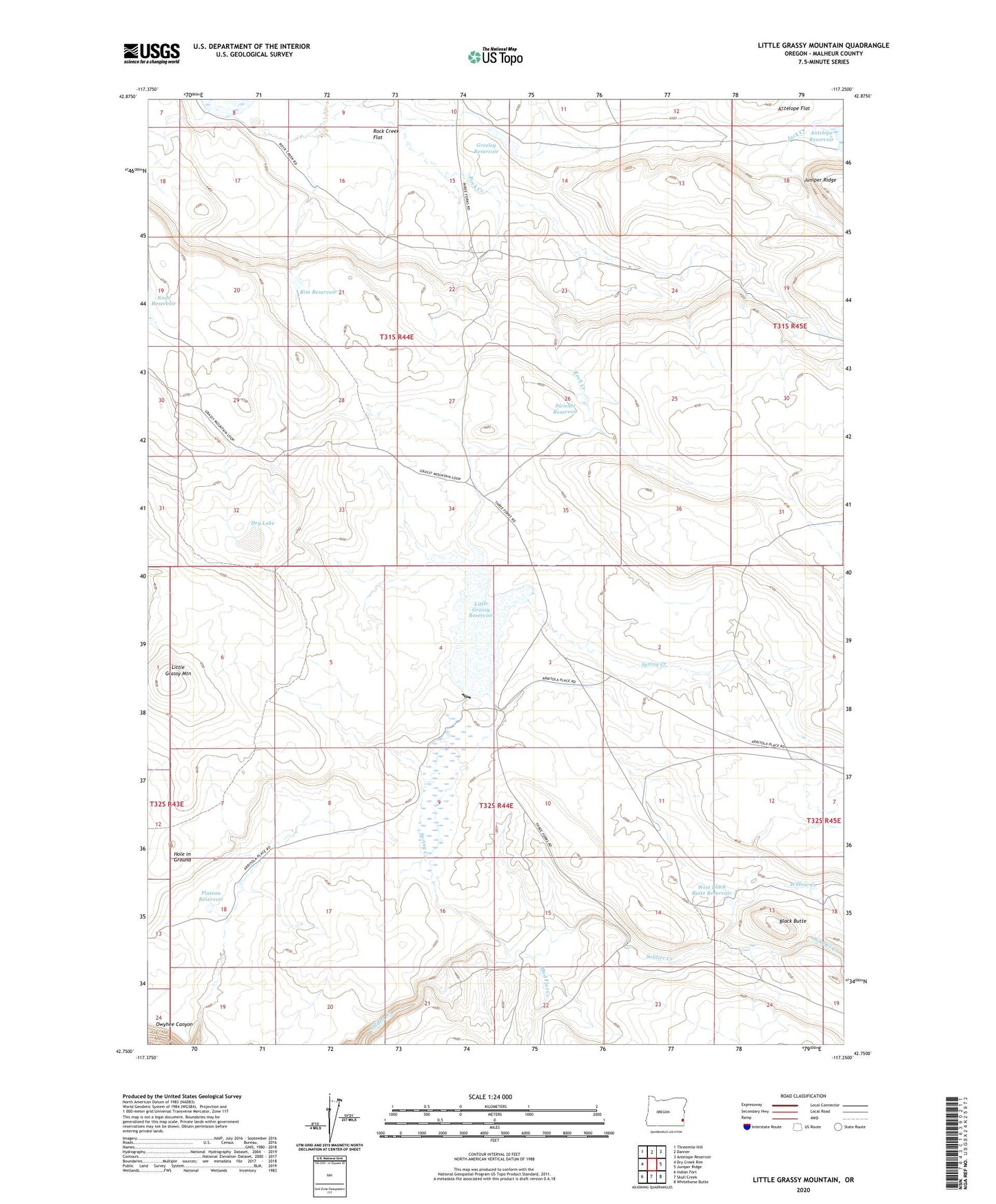
2023 topographic map quadrangle Little Grassy Mountain in the state of Oregon. Scale: 1:24000. Based on the newly updated USGS 7.5' US Topo map series, this map is in the following counties: Malheur. The map contains contour data, water features, and other items you are used to seeing on USGS maps, but also has updated roads and other features. This is the next generation of topographic maps. Printed on high-quality waterproof paper with UV fade-resistant inks.
Quads adjacent to this one:
West: Dry Creek Rim
Northwest: Threemile Hill
North: Danner
Northeast: Antelope Reservoir
East: Juniper Ridge
Southeast: Whitehorse Butte
South: Skull Creek
Southwest: Indian Fort
This map covers the same area as the classic USGS quad with code o42117g3.
Contains the following named places: Black Butte, Dry Lake, Greeley Reservoir, Greeley Reservoir Dam, Hole in Ground, Little Grassy Mountain, Little Grassy Reservoir, Mud Flat Creek, Plateau Reservoir, Rim Reservoir, Rock Creek Flat, Sommerville Dam, Spring Creek, Swisher Ranch, Swisher Reservoir, West Black Butte Reservoir, Willow Creek