MyTopo
Tiernan Oregon US Topo Map
Couldn't load pickup availability
Also explore the Tiernan Forest Service Topo of this same quad for updated USFS data
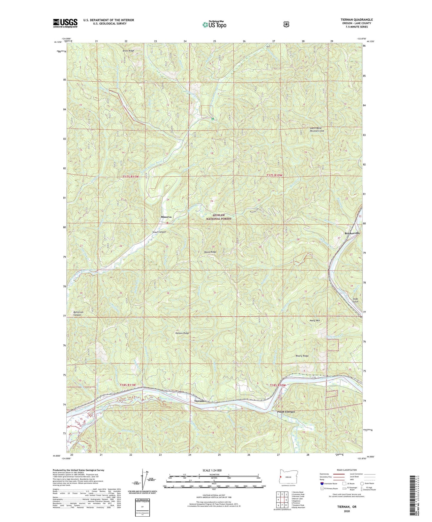
2024 topographic map quadrangle Tiernan in the state of Oregon. Scale: 1:24000. Based on the newly updated USGS 7.5' US Topo map series, this map is in the following counties: Lane. The map contains contour data, water features, and other items you are used to seeing on USGS maps, but also has updated roads and other features. This is the next generation of topographic maps. Printed on high-quality waterproof paper with UV fade-resistant inks.
Quads adjacent to this one:
West: Mercer Lake
Northwest: Heceta Head
North: Cummins Peak
Northeast: Herman Creek
East: Mapleton
Southeast: Baldy Mountain
South: Goodwin Peak
Southwest: Florence
This map covers the same area as the classic USGS quad with code o44123a8.
Contains the following named places: Barber Creek, Berkshire Creek, Betzen, Brickerville, C and D Dock Hoist, Cataract Creek, David Creek, David Ridge, Deadman Creek, Deer Creek, Drew Creek, Drew Ridge, Elk Creek, Farnham Landing, Farnham Landing County Park, Farnham Landing Pole Slide, Firo, Hanson Creek, Hanson Ridge, Hoffman Creek, Horseshoe Creek, Houghton Landing Boat Ramp, Hume, Jim Dick Creek, Karnowsky Creek, Mason Creek, McLeod Creek, Midway Dock Hoist, Minerva, Minerva Post Office, Misery Ridge, Neely Mountain, Neilson Creek, North Fork Siuslaw Recreation Site, Olsen Creek, Peterson Creek, Point Terrace, Point Terrace Post Office, Porter Creek, Right Fork Drew Creek, Rock Quarry, Russell Creek, Saunders Creek, Schoolhouse Creek, Seaton Post Office, Shoemaker Creek, Shumard Creek, Siuslaw Valley Fire and Rescue Station 3 North Fork Station, Slide Creek, Slide Gulch, South Bend McLeod Creek, South Johns Creek, South Russell Creek, Spencer Creek, Stout Canyon, Stout Creek, Sweet Creek, Tiernan, Tiernan Boat Ramp, Tiernan Post Office, Uncle Creek, Walker Creek, Whiskey Creek, Wilhelm Creek, Wilson Creek


