MyTopo
Union Creek Oregon US Topo Map
Couldn't load pickup availability
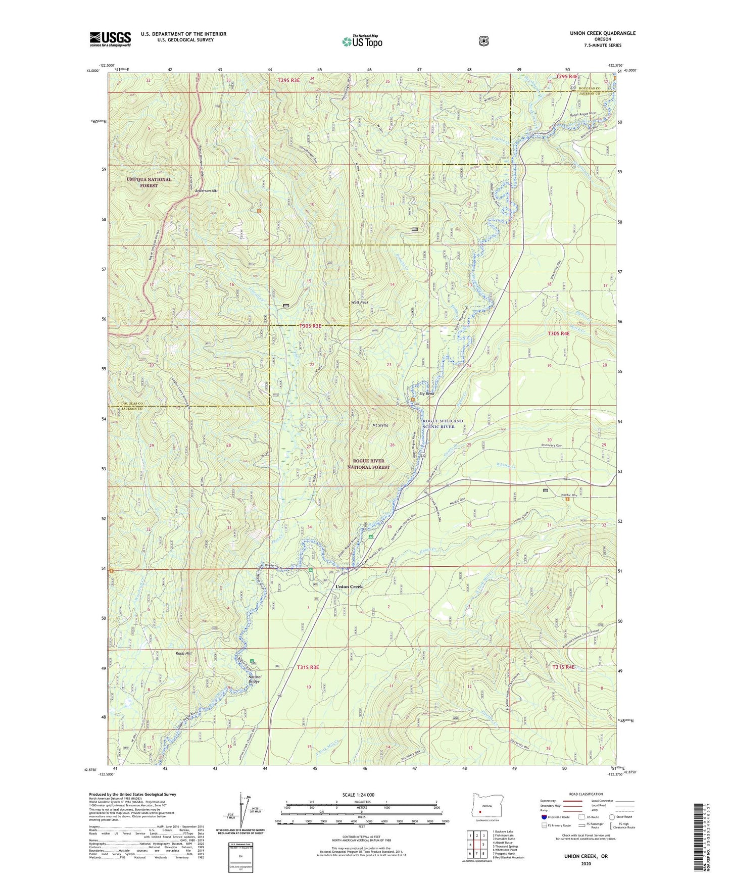
2020 topographic map quadrangle Union Creek in the state of Oregon. Scale: 1:24000. Based on the newly updated USGS 7.5' US Topo map series, this map is in the following counties: Jackson, Douglas. The map contains contour data, water features, and other items you are used to seeing on USGS maps, but also has updated roads and other features. This is the next generation of topographic maps. Printed on high-quality waterproof paper with UV fade-resistant inks.
Quads adjacent to this one:
West: Abbott Butte
Northwest: Buckeye Lake
North: Fish Mountain
Northeast: Hamaker Butte
East: Thousand Springs
Southeast: Red Blanket Mountain
South: Prospect North
Southwest: Whetstone Point
Contains the following named places: Anderson Mountain, Anderson Mountain Trail, Big Bend, Big Bend Camp, Bridge Creek, Browns Creek, Bybee Creek, Castle Creek, Copeland Creek, Farewell Bend Recreation Site, Flat Creek, Flat Creek Trail, Foster Creek, Foster Creek Forest Camp, Hershberger Creek, Knob Hill, Long Prairie Forest Camp, Mount Stella, Mount Stella Lookout Tower, Natural Bridge, Natural Bridge Recreation Site, Natural Bridge Viewpoint, Pipeline Creek, Prairie Creek, Rabbit Ears Creek, Rock Creek, Rogue Gorge Recreation Site, Travail Creek, Union Creek, Union Creek Post Office, Union Creek Recreation Site, Union Creek Resort, Union Creek Trail, Whisky Creek, Wizard Creek, Wolf Peak