MyTopo
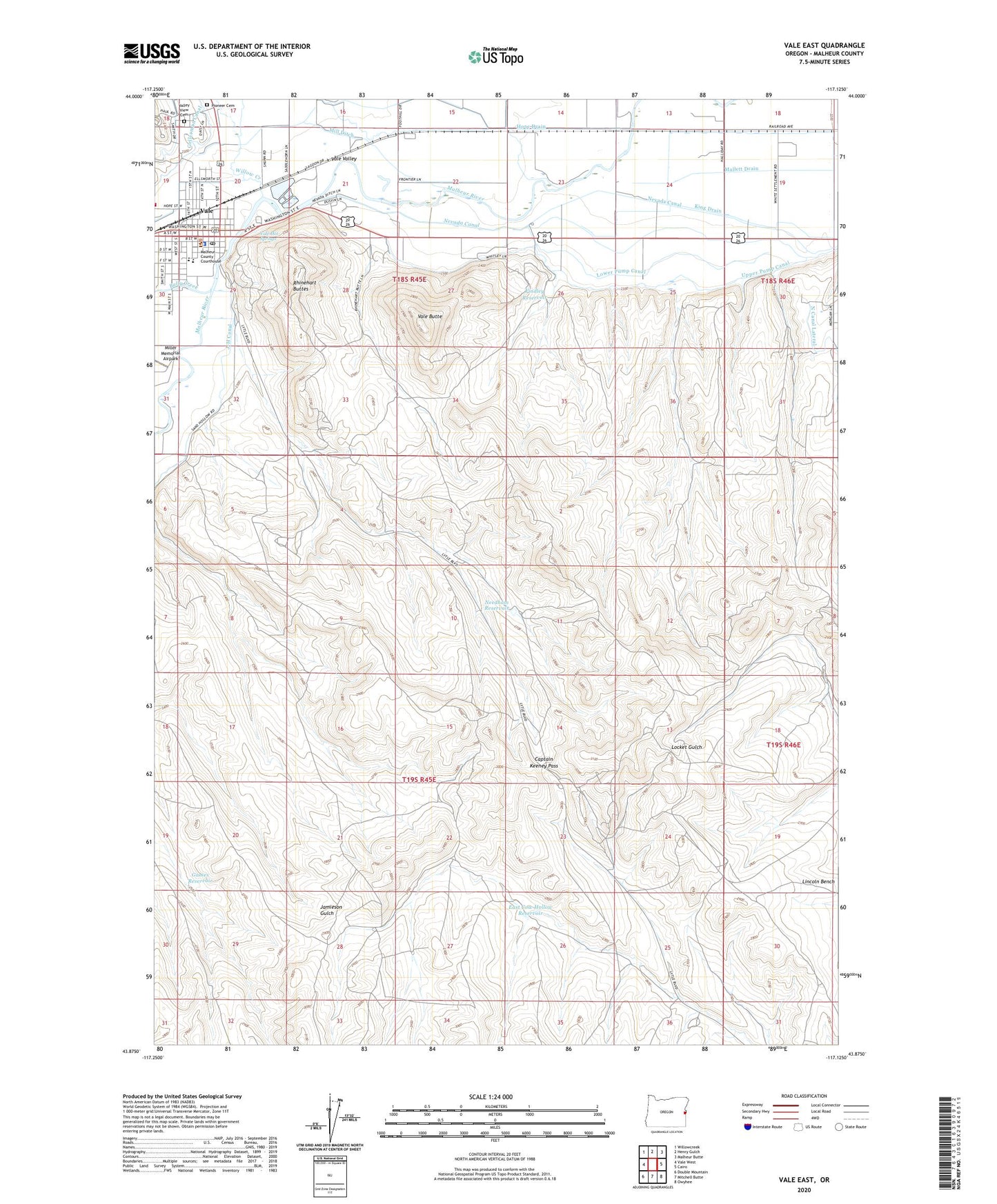
Vale East Oregon US Topo Map
Couldn't load pickup availability
2023 topographic map quadrangle Vale East in the state of Oregon. Scale: 1:24000. Based on the newly updated USGS 7.5' US Topo map series, this map is in the following counties: Malheur. The map contains contour data, water features, and other items you are used to seeing on USGS maps, but also has updated roads and other features. This is the next generation of topographic maps. Printed on high-quality waterproof paper with UV fade-resistant inks.
Quads adjacent to this one:
West: Vale West
Northwest: Willowcreek
North: Henry Gulch
Northeast: Malheur Butte
East: Cairo
Southeast: Owyhee
South: Mitchell Butte
Southwest: Double Mountain
This map covers the same area as the classic USGS quad with code o43117h2.
Contains the following named places: Bully Creek, Bureau of Land Management Vale District Field Office, Captain Keeney Pass, City of Vale, Cottonwood City Park, East Cow Hollow Reservoir, Findley Reservoir, Games Reservoir, Hope Drain, Jamieson Gulch Reservoir, King Drain, Lewin City Park, Lower Pump Canal, Malheur County Courthouse, Malheur County Sheriff's Office, Mill Ditch, Needham Reservoir, Needham Well, Pioneer Cemetery, Rhinehart Buttes, Rinehart Stone House Museum, Upper Pump Canal, Vale, Vale Butte, Vale City Hall, Vale City Sheriff's Office, Vale Elementary School, Vale Emma Humphrey Library, Vale Hot Springs, Vale Middle School, Vale Post Office, Vale Public Works, Vale Rodeo Grounds, Vale Valley, Vale Wastewater Treatment Plant, Valley View Cemetery, Wadleigh City Park, Water Tower Number Four, Water Tower Number Two, Willow Creek


