MyTopo
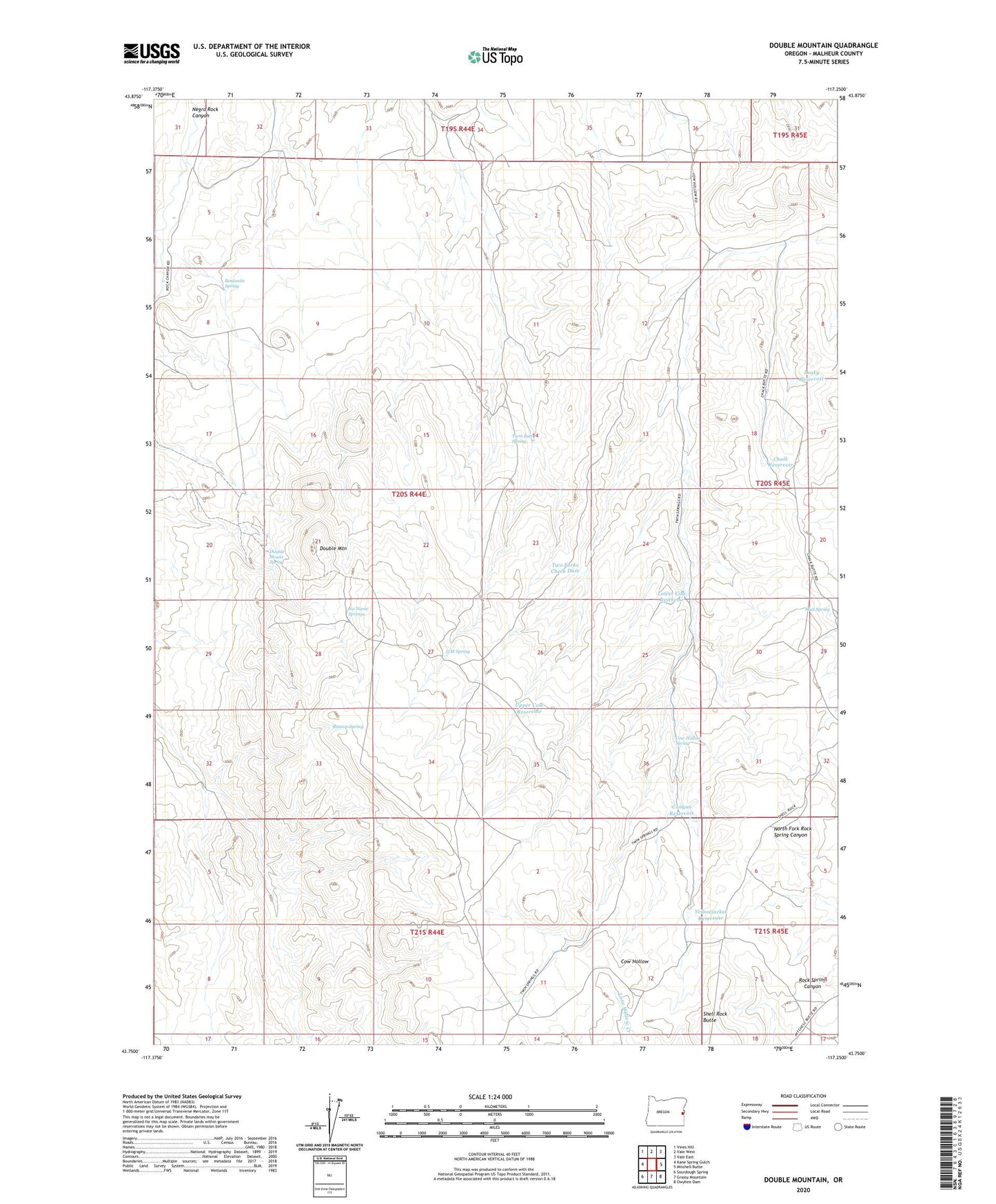
Double Mountain Oregon US Topo Map
Couldn't load pickup availability
2024 topographic map quadrangle Double Mountain in the state of Oregon. Scale: 1:24000. Based on the newly updated USGS 7.5' US Topo map series, this map is in the following counties: Malheur. The map contains contour data, water features, and other items you are used to seeing on USGS maps, but also has updated roads and other features. This is the next generation of topographic maps. Printed on high-quality waterproof paper with UV fade-resistant inks.
Quads adjacent to this one:
West: Kane Spring Gulch
Northwest: Vines Hill
North: Vale West
Northeast: Vale East
East: Mitchell Butte
Southeast: Owyhee Dam
South: Grassy Mountain
Southwest: Sourdough Spring
This map covers the same area as the classic USGS quad with code o43117g3.
Contains the following named places: Bentonite Spring, Canyon Reservoir, Chalk Reservoir, Cow Hollow Spring, D M Spring, Double Mount Spring, Double Mountain, Leaky Reservoir, Lower Cow Reservoir, Mud Spring, No Name Springs, Rimtop Spring, Shell Rock Butte, Twin Butte Spring, Two Forks Check Dam, Upper Cow Reservoir, Yellowjacket Reservoir