MyTopo
Wallowa Oregon US Topo Map
Couldn't load pickup availability
Also explore the Wallowa Forest Service Topo of this same quad for updated USFS data
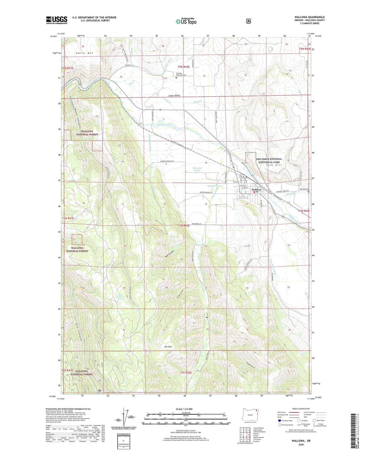
2023 topographic map quadrangle Wallowa in the state of Oregon. Scale: 1:24000. Based on the newly updated USGS 7.5' US Topo map series, this map is in the following counties: Wallowa. The map contains contour data, water features, and other items you are used to seeing on USGS maps, but also has updated roads and other features. This is the next generation of topographic maps. Printed on high-quality waterproof paper with UV fade-resistant inks.
Quads adjacent to this one:
West: Minam
Northwest: Howard Butte
North: Akers Butte
Northeast: Sherod Meadows
East: Evans
Southeast: Lostine
South: Fox Point
Southwest: Mount Moriah
This map covers the same area as the classic USGS quad with code o45117e5.
Contains the following named places: Bear Creek, Bear Wallow Spring, Boyd Creek, Bramlet Memorial Cemetery, Chamberlin Ditch, City of Wallowa, Clear Water Ditch, Diamond Prairie, Dry Creek, Elk Flat, Evans Park, Garden Gulch, Goebel Canyon, Hays Canyon, Joseph Sewage Treatment Plant, Lower Valley, Lower Valley Ditch, Maxwell Pond, Rock Creek, Sage Creek, Sasser Landing Strip, Sevier, Shell Creek, Spring Creek, Tick Hill, Wade, Wallowa, Wallowa Cemetery, Wallowa City Hall, Wallowa Division, Wallowa Elementary School, Wallowa Fire Department, Wallowa Forest Service Station, Wallowa Post Office, Wallowa Public Library, Wallowa Public Works Department Shop and Office, Water Canyon, Whisky Creek