MyTopo
West Side Oregon US Topo Map
Couldn't load pickup availability
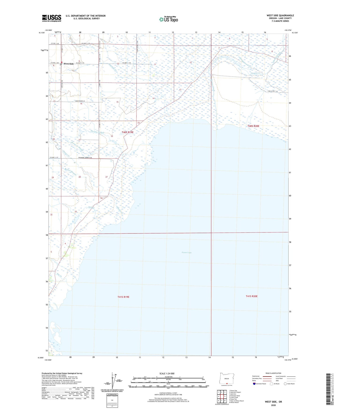
2023 topographic map quadrangle West Side in the state of Oregon. Scale: 1:24000. Based on the newly updated USGS 7.5' US Topo map series, this map is in the following counties: Lake. The map contains contour data, water features, and other items you are used to seeing on USGS maps, but also has updated roads and other features. This is the next generation of topographic maps. Printed on high-quality waterproof paper with UV fade-resistant inks.
Quads adjacent to this one:
West: Fitzwater Point
Northwest: Drews Gap
North: Lakeview Airport
Northeast: Lakeview
East: Crane Creek
Southeast: Willow Ranch
South: West of Willow Ranch
Southwest: Pease Flat
This map covers the same area as the classic USGS quad with code o42120a4.
Contains the following named places: Antelope Creek, Barnes Slough, Cheney Slough, Cottonwood Creek, Drews Creek, Drews Creek Slough, Dry Creek, Mill Creek, Thomas Creek, West Side, West Side Post Office, Westside Rural Fire Department