MyTopo
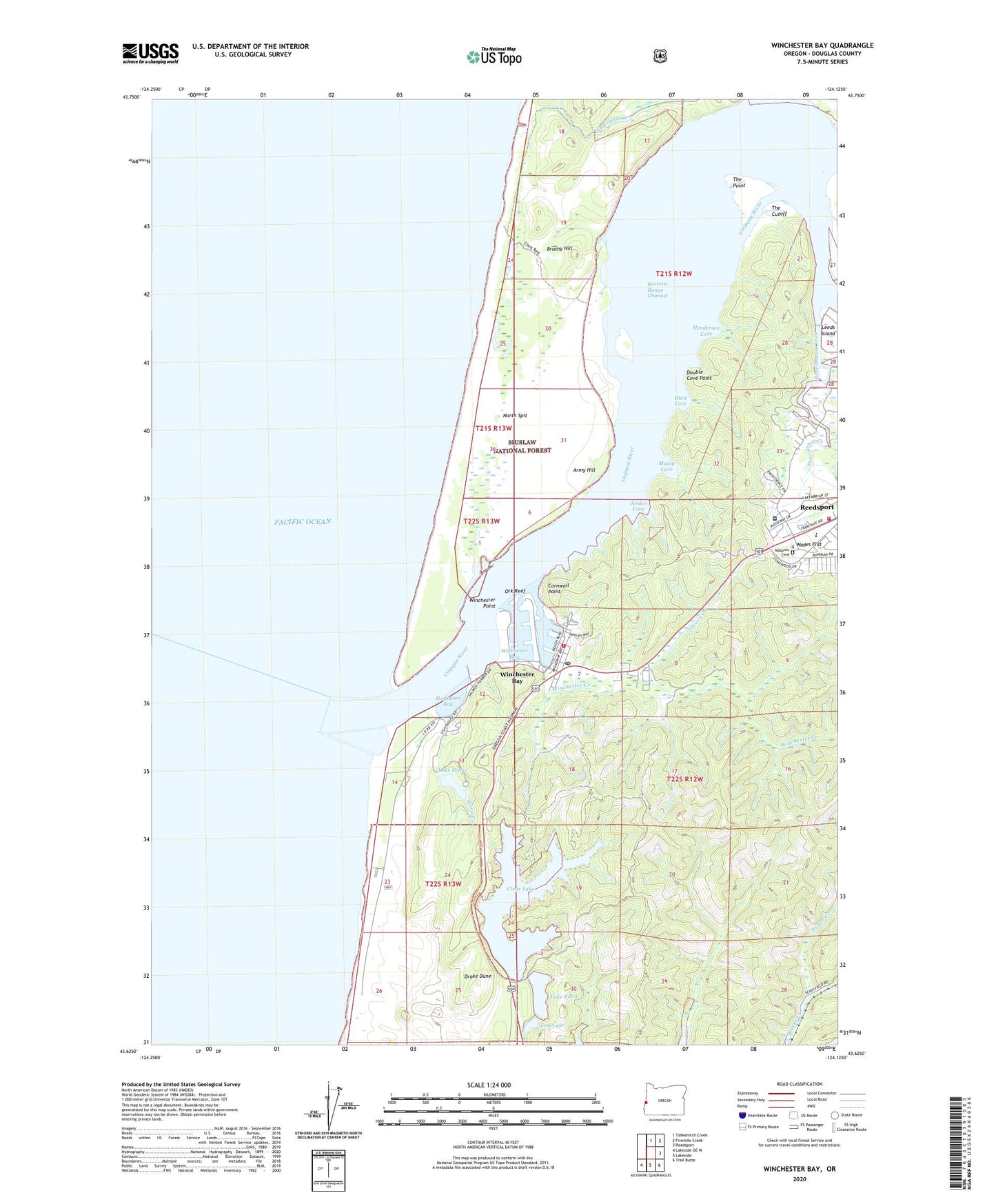
Winchester Bay Oregon US Topo Map
Couldn't load pickup availability
Also explore the Winchester Bay Forest Service Topo of this same quad for updated USFS data
2024 topographic map quadrangle Winchester Bay in the state of Oregon. Scale: 1:24000. Based on the newly updated USGS 7.5' US Topo map series, this map is in the following counties: Douglas. The map contains contour data, water features, and other items you are used to seeing on USGS maps, but also has updated roads and other features. This is the next generation of topographic maps. Printed on high-quality waterproof paper with UV fade-resistant inks.
Quads adjacent to this one:
North: Tahkenitch Creek
Northeast: Fivemile Creek
East: Reedsport
Southeast: Trail Butte
South: Lakeside
Southwest: Lakeside OE W
This map covers the same area as the classic USGS quad with code o43124f2.
Contains the following named places: Army Hill, Barretts Landing, Barretts Range Channel, Bicentennial Park, Brushy Hill, Clear Lake, Clear Lake Dam, Cornwall Point, Double Cove Point, Drake Dune, East Basin, Forest Hills Country Club, Fort Umpqua, Fourmile Light, Halfmoon Bay, Henderson Cove, Highland Elementary School, Highlands Baptist Church, Hunt Cove, Jerden Cove, Lake Edna, Lake Edna Dam, Lake Marie, Lake Marie Campground, Lower Umpqua Hospital, Macey Cove, Marie Creek, Masonic Cemetery, Minard, North Jetty, North Spit, Oak Rock County Park, Oregon Dunes National Recreation Area, Ork Reef, Parker Creek, Providence Creek, Reedsport Volunteer Fire Department Station 2, Salmon Harbor, Salmon Harbor County Park, Salmon Harbor Marina Boat Launch, Silver Creek, South Jetty, Teal Lake, The Cutoff, The Point, Threemile Creek, Threemile Light, Umpqua City, Umpqua City Post Office, Umpqua Lighthouse State Park, Umpqua River Lighthouse, Umpqua River Lighthouse and Coastal History Museum, United States Coast Guard Station Umpqua River, Wades Flat, West Basin, Willard, Willard Post Office, Winchester Bay, Winchester Bay Census Designated Place, Winchester Bay Post Office, Winchester Bay Rural Fire Protection District, Winchester Bay Sanitary District, Winchester Creek, Winchester Point, Windy Cove County Park, Ziolkouski Beach Park


