MyTopo
Ellisburg Pennsylvania US Topo Map
Couldn't load pickup availability
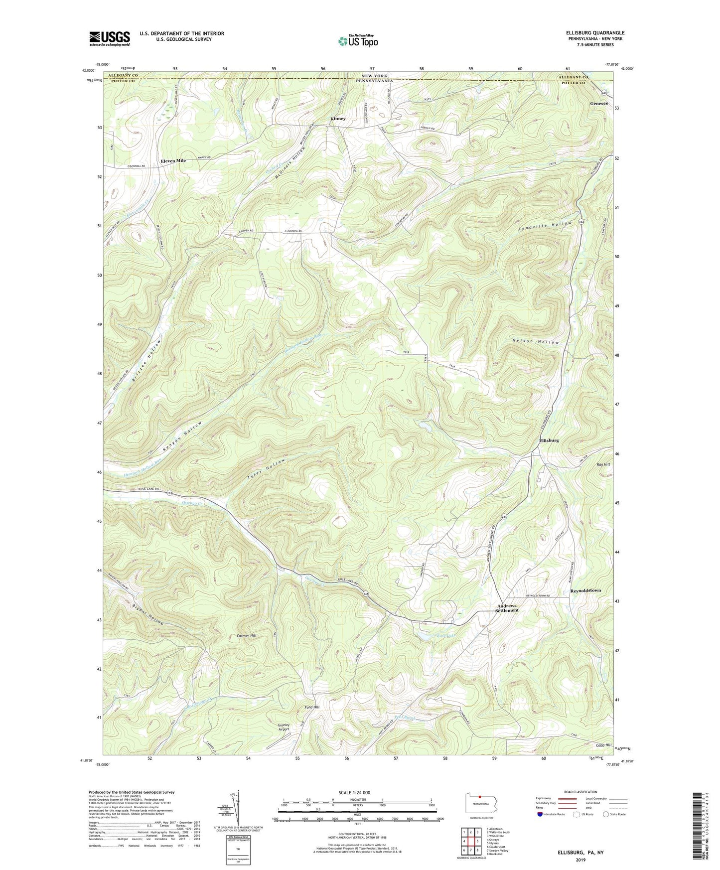
2023 topographic map quadrangle Ellisburg in the state of Pennsylvania. Scale: 1:24000. Based on the newly updated USGS 7.5' US Topo map series, this map is in the following counties: Potter, Allegany. The map contains contour data, water features, and other items you are used to seeing on USGS maps, but also has updated roads and other features. This is the next generation of topographic maps. Printed on high-quality waterproof paper with UV fade-resistant inks.
Quads adjacent to this one:
West: Oswayo
Northwest: Allentown
North: Wellsville South
Northeast: Whitesville
East: Ulysses
Southeast: Brookland
South: Sweden Valley
Southwest: Coudersport
This map covers the same area as the classic USGS quad with code o41077h8.
Contains the following named places: Andrews Settlement, Carmer Hill, Cobb Hill, Eleven Mile, Ellisburg, Ellisburg Creek, Ford Hill, Greeley Airport, Irish Settlement Brook, Kinney, Leadville Hollow, Lewis Corner, McGinnis Hollow, Nelson Hollow, Rag Hill, Reynoldstown, Rose Lake, Rose Lake Run, Township of Genesee, Tyler Hollow, Union Church, Woodville School