MyTopo
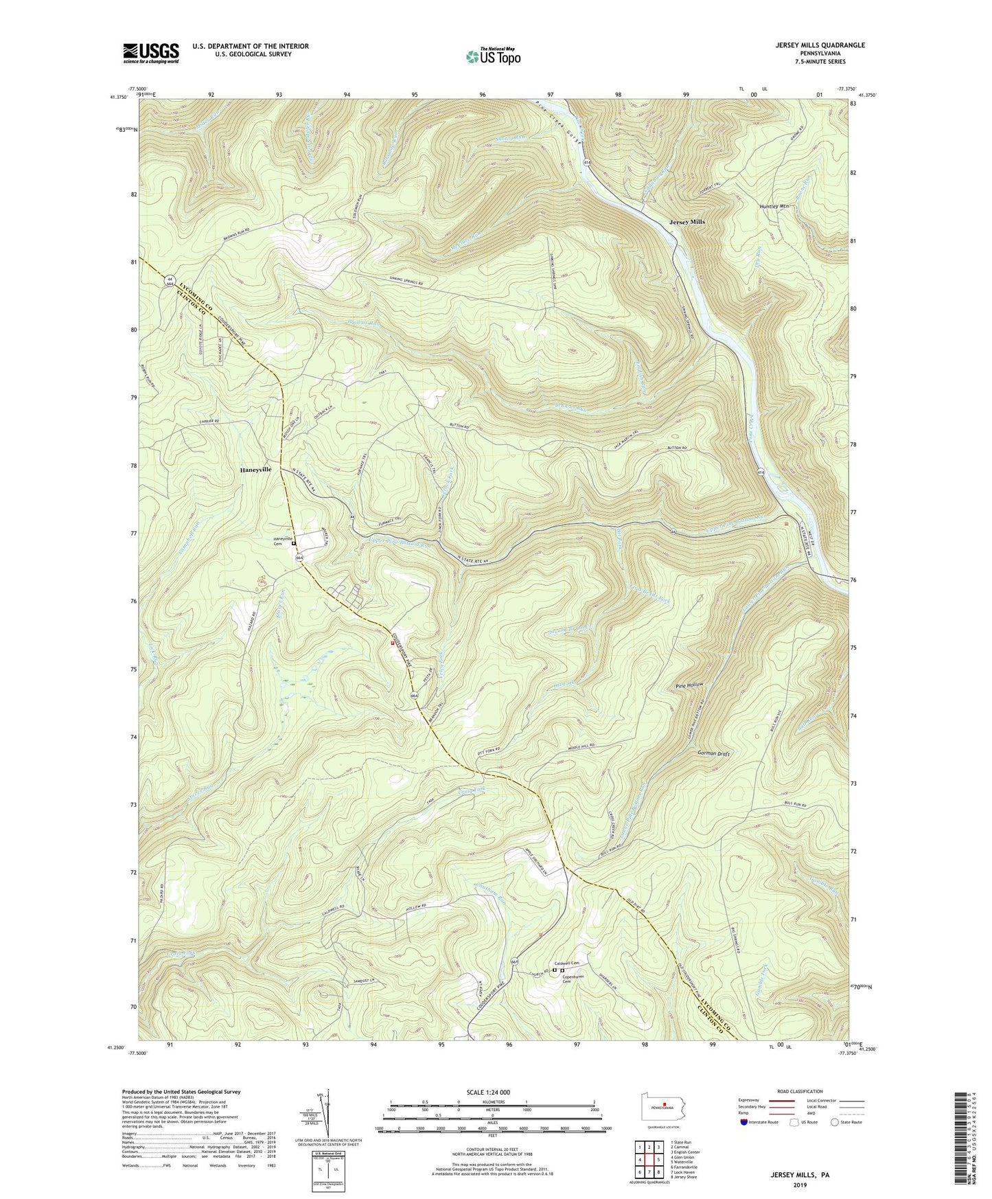
Jersey Mills Pennsylvania US Topo Map
Couldn't load pickup availability
2019 topographic map quadrangle Jersey Mills in the state of Pennsylvania. Scale: 1:24000. Based on the newly updated USGS 7.5' US Topo map series, this map is in the following counties: Lycoming, Clinton. The map contains contour data, water features, and other items you are used to seeing on USGS maps, but also has updated roads and other features. This is the next generation of topographic maps. Printed on high-quality waterproof paper with UV fade-resistant inks.
Quads adjacent to this one:
West: Glen Union
Northwest: Slate Run
North: Cammal
Northeast: English Center
East: Waterville
Southeast: Jersey Shore
South: Lock Haven
Southwest: Farrandsville
Contains the following named places: Big Fork Trail, Browns Run, Browns Run Trail, Bull Run Vista, Caldwell Cemetery, Caldwell Church, Callahan Run, Copenhaver Cemetery, Dry Run, Dry Run Trail, English Run, First Branch Ott Fork, Fred Hollow Trail, Gallagher, Gamble Trail, Gorman Draft, Green Trail, Haneyville, Haneyville Cemetery, Haneyville Church, Haneyville Volunteer Fire Company Station 18, Hogback Trail, Huntley Mountain, Jersey Mills, Lower Pine Bottom Run, Martin Trail, McClure Run, McClure Run Trail, McClure Trail, Middle Hill Trail, Miller Run Natural Area, Ott Fork, Pennsylvania Department of Conservation and Natural Resources District 12 Tiadaghton Forest, Pine Hollow, Second Branch Ott Creek, Shanty Point Trail, Shanty Run, Shutman Path, Sinking Springs Overlook, Springer Corners, Springer School, Torbert Trail, Township of Gallagher, Twin Pines Trail, Upper Pine Bottom Run, Upper Pine Bottom State Park, Veley Fork, Waterville Lookout Tower, Wentzel Trail, Wolf Path, Zinck Fork, ZIP Code: 17745