MyTopo
Slate Run Pennsylvania US Topo Map
Couldn't load pickup availability
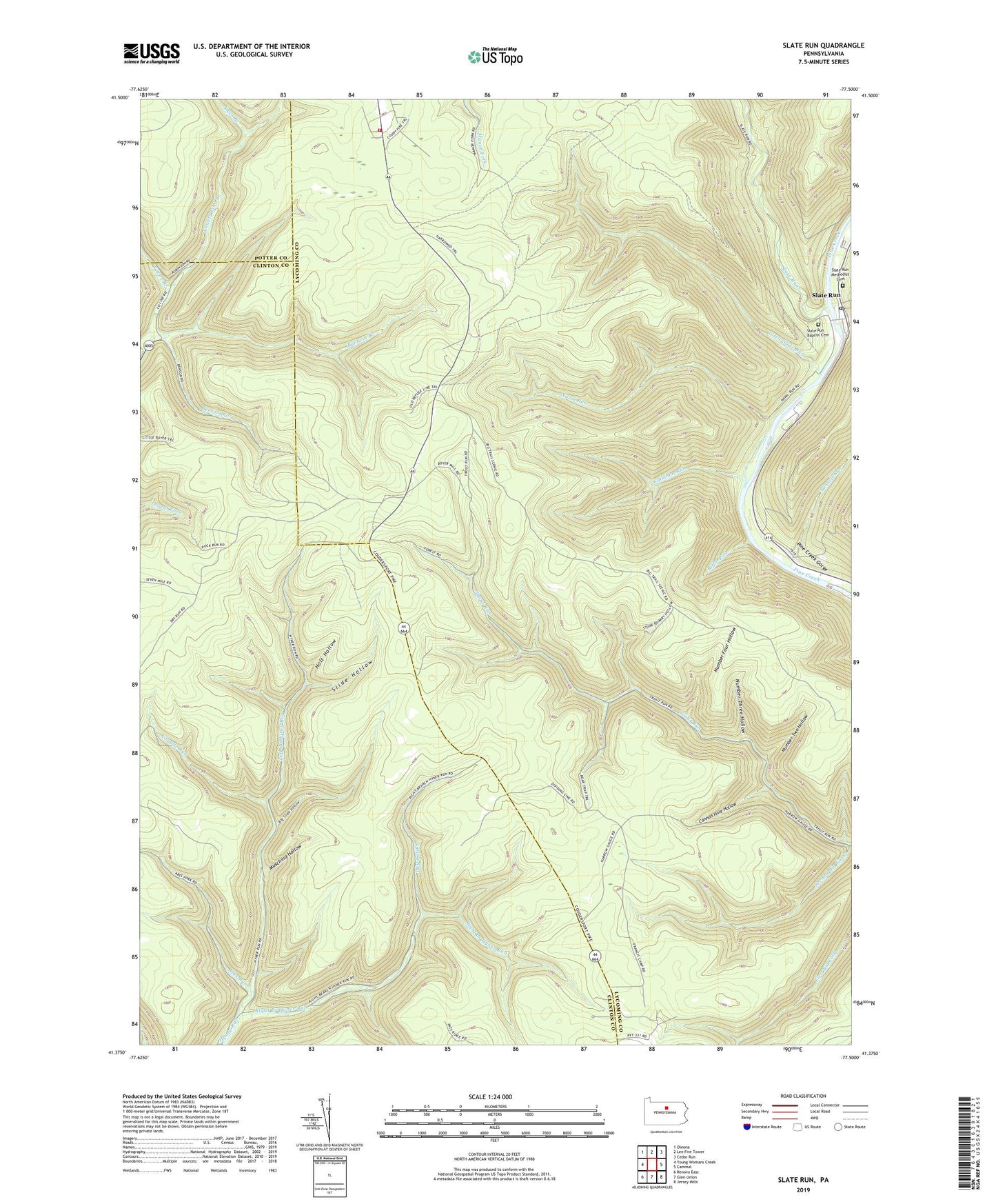
2023 topographic map quadrangle Slate Run in the state of Pennsylvania. Scale: 1:24000. Based on the newly updated USGS 7.5' US Topo map series, this map is in the following counties: Lycoming, Clinton, Potter. The map contains contour data, water features, and other items you are used to seeing on USGS maps, but also has updated roads and other features. This is the next generation of topographic maps. Printed on high-quality waterproof paper with UV fade-resistant inks.
Quads adjacent to this one:
West: Young Womans Creek
Northwest: Oleona
North: Lee Fire Tower
Northeast: Cedar Run
East: Cammal
Southeast: Jersey Mills
South: Glen Union
Southwest: Renovo East
This map covers the same area as the classic USGS quad with code o41077d5.
Contains the following named places: Abes Run, Baldwin Branch, Baldwin Point Trail, Bear Trap Trail, Benson Run, Benson Trail, Big Boyer Trail, Big Slide Hollow, Black Forest Fire Company Station 36, Blackberry Trail, Bonnell Run, Callahan Run, Callahan Trail, Campbell Trail, Cannon Hole Hollow, Cougar Run, County Line Branch, Dugan Trail, Dyer Branch, Gas Line Trail, Golden Eagle Trail, Harrowed Trail, Highwood Trail, Holt Hollow, Left Branch Hyner Run, Little Boyer Trail, Little Slate Run, Little Slate Run Trail, McClure Ridge Trail, Mill Hollow Trail, Muschino Hollow, Naval Run, Number Four Hollow, Number Three Hollow, Number Two Hollow, Reeder Trail, Refuge Trail, Riffle Run, Riffle Trail, Right Branch Hyner Run, Rock Run Trail, Second Big Fork, Shay Trail, Slate Run, Slate Run Baptist Cemetery, Slate Run Methodist Cemetery, Slate Run Post Office, Slide Hollow, Slide Hollow Trail, Spring Run, Store Quarry Trail, Three Ridge Trail, Weaver Trail, Wilcox Branch