MyTopo
Julian Pennsylvania US Topo Map
Couldn't load pickup availability
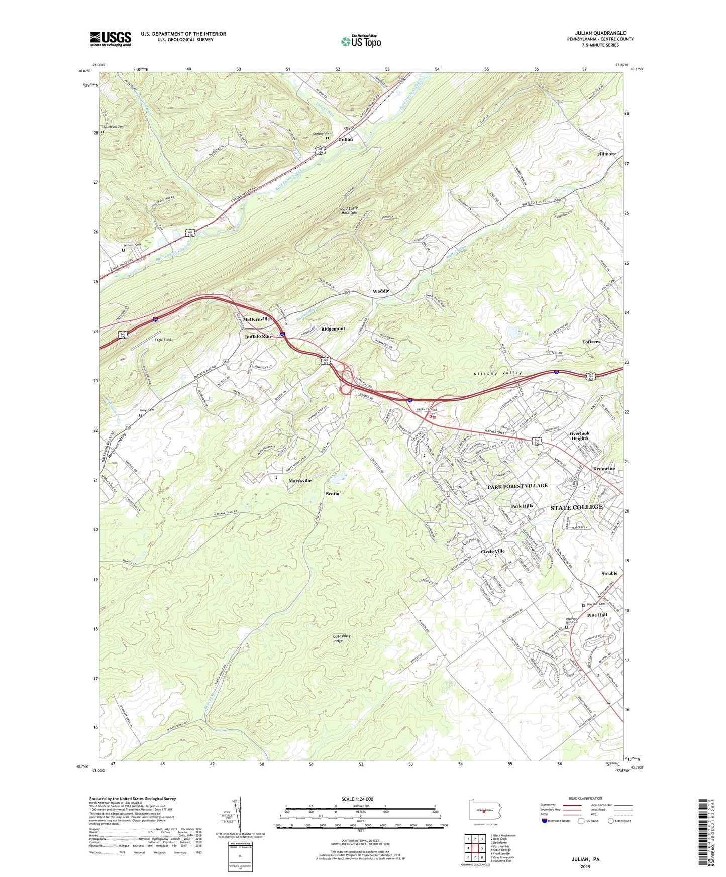
2023 topographic map quadrangle Julian in the state of Pennsylvania. Scale: 1:24000. Based on the newly updated USGS 7.5' US Topo map series, this map is in the following counties: Centre. The map contains contour data, water features, and other items you are used to seeing on USGS maps, but also has updated roads and other features. This is the next generation of topographic maps. Printed on high-quality waterproof paper with UV fade-resistant inks.
Quads adjacent to this one:
West: Port Matilda
Northwest: Black Moshannon
North: Bear Knob
Northeast: Bellefonte
East: State College
Southeast: McAlevys Fort
South: Pine Grove Mills
Southwest: Franklinville
This map covers the same area as the classic USGS quad with code o40077g8.
Contains the following named places: Alpha Fire Company 5 Patton Station, Altro, Bald Eagle Lookout, Bernel Farm, Bloomsdorf, Briarly, Buffalo Run, Campbell Cemetery, Circle Ville, Dillen Airport, Eagle Field, Fillmore, Gatesburg Ridge, Grays Cemetery, Grays Church, Guiser Farms, Harner Farms, Henderson Cemetery, Ionosphere Research Station, Julian, Julian Census Designated Place, Julian Post Office, Kradel Acres Farm, Krumrine, Laurel Run, Marysville, Mattern Junction, Matternville, Matternville School, Mudlick Run, Nittany Valley, Old Pine Hall Cemetery, Overlook Heights, Park Forest Elementary School, Park Forest Village, Park Forest Village Census Designated Place, Park Hills, Patton Township Police Department, Pine Hall, Pine Hall Cemetery, Radio Park Elementary School, Ridgemont, Scotia, Silverdale School, State College Air Depot, State College Area Junior High School, State Game Lands Number 176, Steel Hollow, Struble, The Barrens, Toftrees, Toftrees Census Designated Place, Toftrees Golf Course, Township of Huston, Township of Patton, Waddle, Williams Cemetery, Woodlawn Middle School, Woodycrest, WQWK-FM (State College), WQWK-FM (University Park), WRSC-AM (State College), Ziggy's Field, ZIP Code: 16803


