MyTopo
Montoursville North Pennsylvania US Topo Map
Couldn't load pickup availability
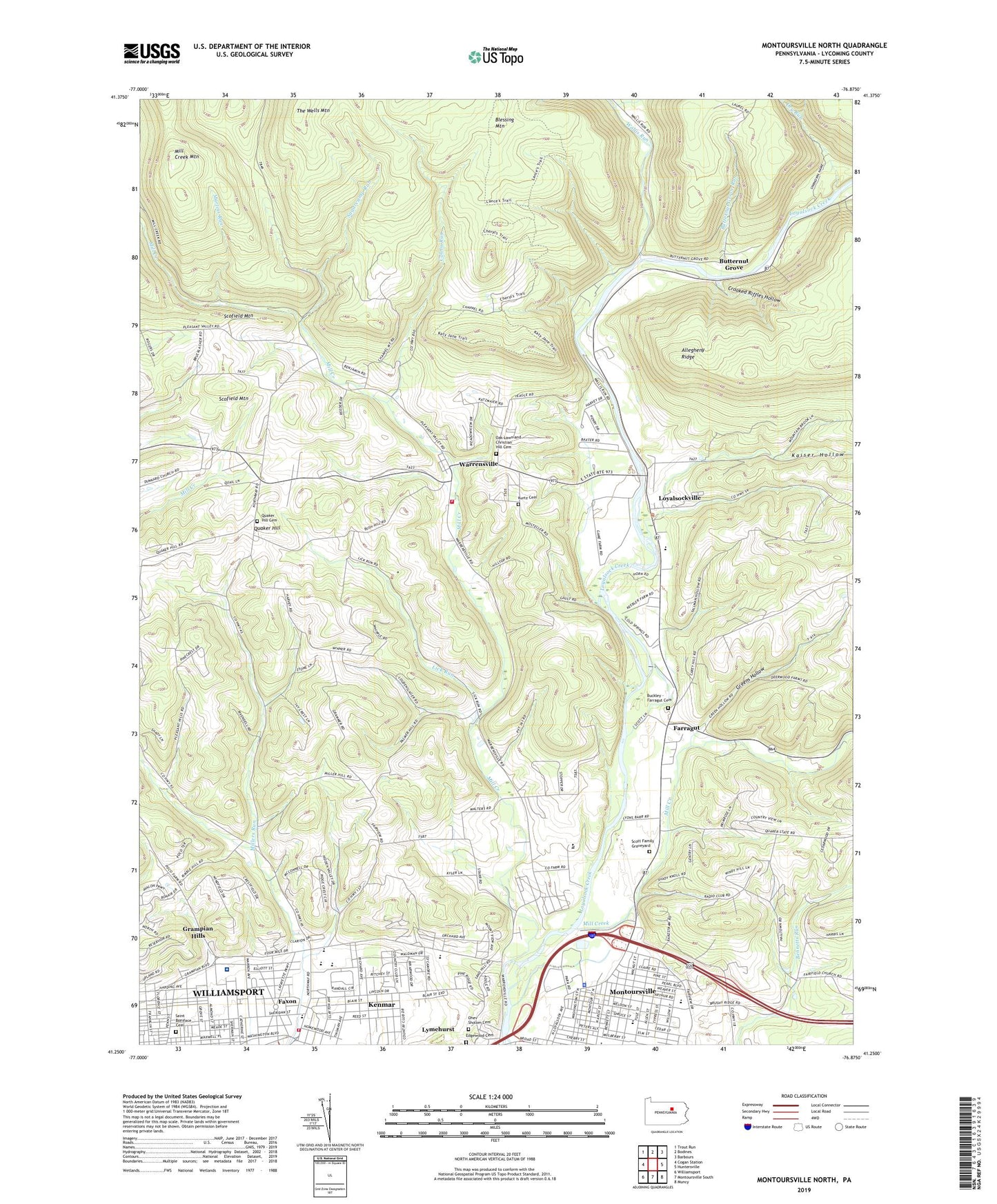
2023 topographic map quadrangle Montoursville North in the state of Pennsylvania. Scale: 1:24000. Based on the newly updated USGS 7.5' US Topo map series, this map is in the following counties: Lycoming. The map contains contour data, water features, and other items you are used to seeing on USGS maps, but also has updated roads and other features. This is the next generation of topographic maps. Printed on high-quality waterproof paper with UV fade-resistant inks.
Quads adjacent to this one:
West: Cogan Station
Northwest: Trout Run
North: Bodines
Northeast: Barbours
East: Huntersville
Southeast: Muncy
South: Montoursville South
Southwest: Williamsport
Contains the following named places: Buckley - Farragut Cemetery, Butternut Grove, Butternut Grove Run, Calebs Run, Crooked Riffles Hollow, Divine Providence Hospital, Dry Run, Edgewood Cemetery, Eldred Township Volunteer Fire Company Station 22, Emmanuel Church, Farragut, Faxon Census Designated Place, Fourmile School, Greens Hollow, Hecht School, Jacoby Hollow, Kaiser Hollow, Kenmar, Kenmar Census Designated Place, Kurtz Cemetery, Lick Run, Loyalsock State Game Farm, Loyalsock Valley School, Loyalsock Volunteer Fire Company Station 18, Loyalsockville, Lysock-View County Home, Lyter School, Martins Run, Mill Creek, Mill Creek Church, Mill Creek Mountain, Montoursville, Montoursville Borough Police Department, Mount Zion Church, North Eldred, Northway Church, Oak Lawn and Christian Hill Cemetery, Ohev Sholom Cemetery, Penn Vale, Pilgrim Church, Quaker Hill, Quaker Hill Cemetery, Red Bank Trail, Riffle Trail, Saint Anns Church, Saint Boniface Cemetery, School for Mentally Retarded, Scofield Mountain, Scott Family Graveyard, Shafer Memorial Grounds, Sheridan School, State Game Lands Number 298, Sugarcamp Run, The Wells Mountain, Township of Eldred, Township of Loyalsock, Wallis Run, Warrensville, ZIP Code: 17754


