MyTopo
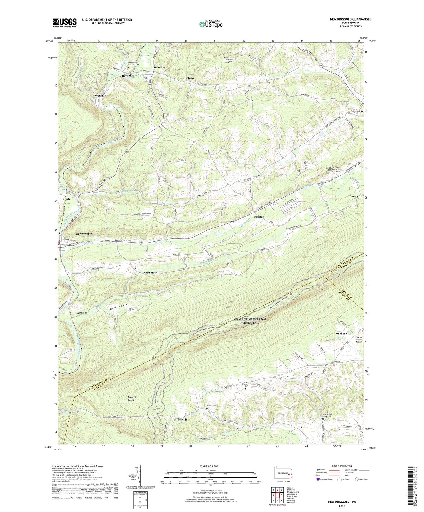
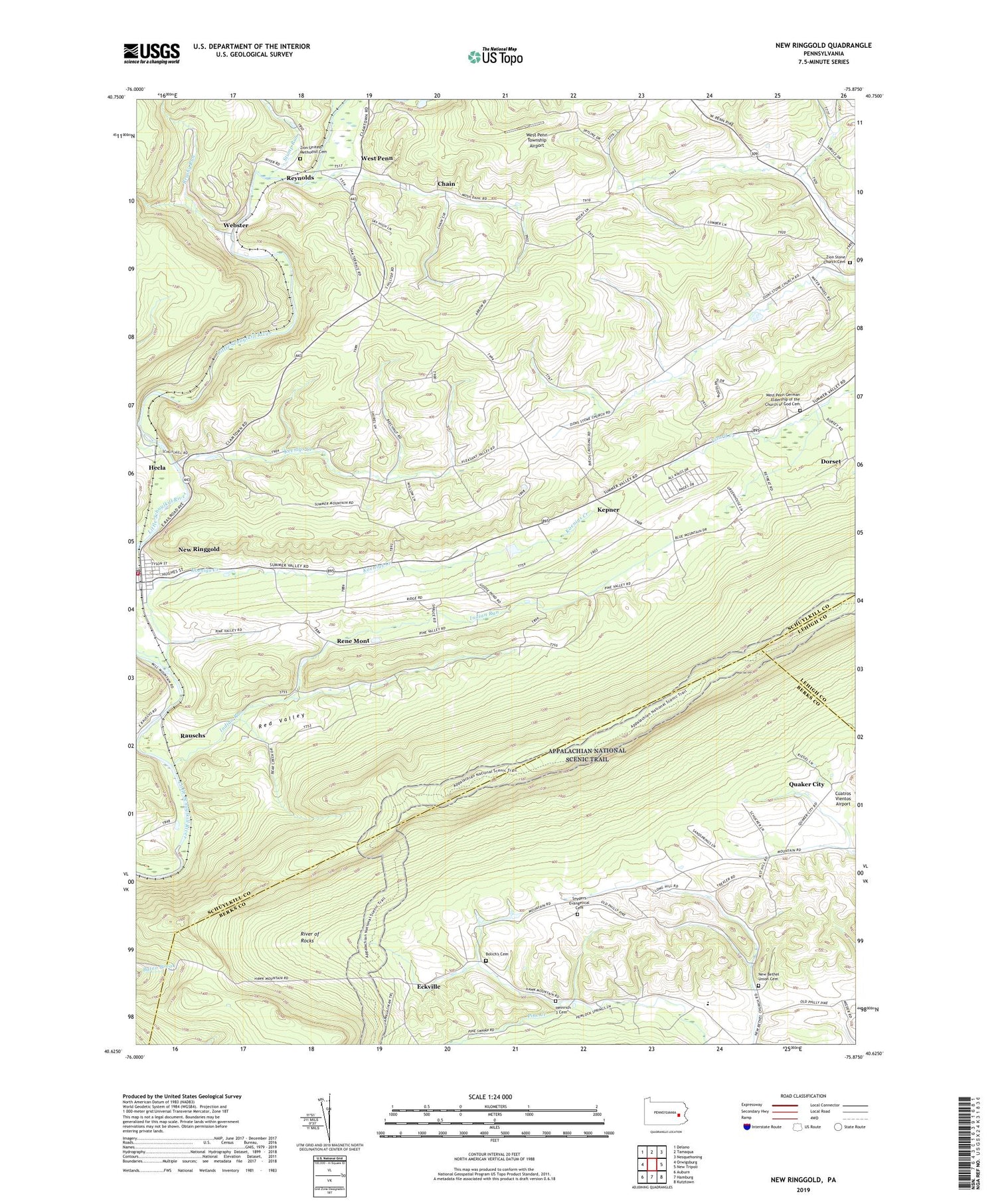
New Ringgold Pennsylvania US Topo Map
Couldn't load pickup availability
2023 topographic map quadrangle New Ringgold in the state of Pennsylvania. Scale: 1:24000. Based on the newly updated USGS 7.5' US Topo map series, this map is in the following counties: Schuylkill, Berks, Lehigh. The map contains contour data, water features, and other items you are used to seeing on USGS maps, but also has updated roads and other features. This is the next generation of topographic maps. Printed on high-quality waterproof paper with UV fade-resistant inks.
Quads adjacent to this one:
West: Orwigsburg
Northwest: Delano
North: Tamaqua
Northeast: Nesquehoning
East: New Tripoli
Southeast: Kutztown
South: Hamburg
Southwest: Auburn
This map covers the same area as the classic USGS quad with code o40075f8.
Contains the following named places: Appalachian Overlook, Atlas Park, Bald Lookout, Bolich Church, Bolich's Cemetery, Borough of New Ringgold, Brushy Run, Chain, Cobble, Dans Pulpit, Deep Hollow Run, Dorset, Dorset School, Eckville, Hawk Mountain, Hawk Mountain Sanctuary, Hawk Mountain Sanctuary Visitors Center, Heinrich 3 Cemetery, Hemlock Heights, Indian Run, Keenigs Creek, Kepner, Koenigs Creek, Koenigs Creek Dam, Mountain School, New Bethel School, New Bethel Union Cemetery, New Bethel Union Church, New Ringgold, New Ringgold Ambulance, New Ringgold Community Fire Company District 55 Station 1, New Ringgold Post Office, North Lookout, Owls Head, Penn Mahoning Ambulance, Quaker City, Rauschs, Red Valley, Rene Mont, Reynolds, Ridge Overlook, River of Rocks, River of Rocks Overlook, River of Rocks Trail, Sassamans School, Snyders Evangelical Cemetery, South Lookout, State Game Lands Number 106, Steigerwalts School, Stump Run, Township of Albany, Township of East Brunswick, Township of West Penn, Webster, West Penn, West Penn Church, West Penn German Eldership of the Church of God Cemetery, West Penn Township Airport, Zion Stone Church Cemetery, Zion United Methodist Cemetery, Zions Church, ZIP Code: 17960


