MyTopo
Port Allegany Pennsylvania US Topo Map
Couldn't load pickup availability
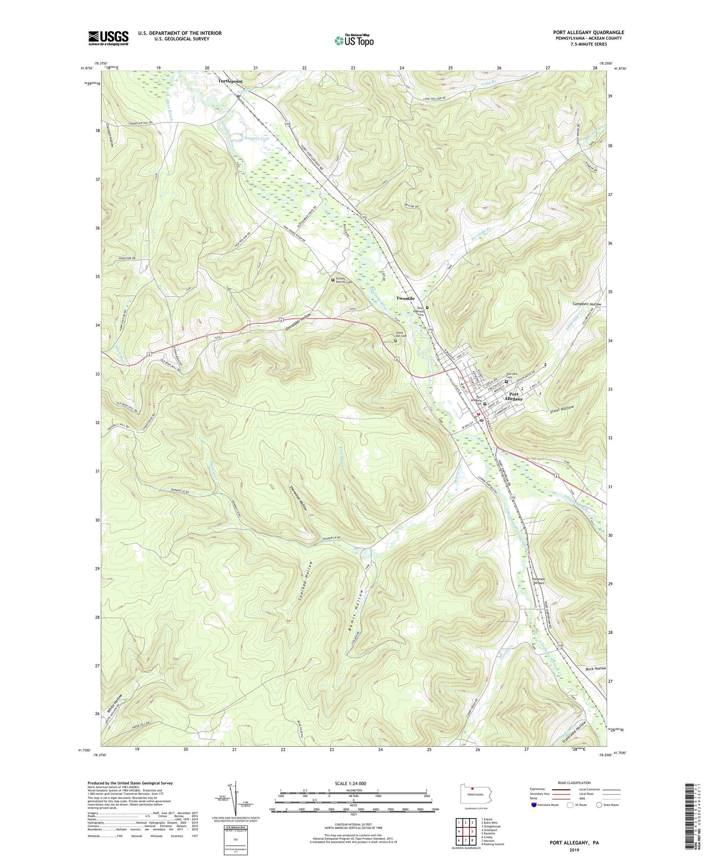
2023 topographic map quadrangle Port Allegany in the state of Pennsylvania. Scale: 1:24000. Based on the newly updated USGS 7.5' US Topo map series, this map is in the following counties: McKean. The map contains contour data, water features, and other items you are used to seeing on USGS maps, but also has updated roads and other features. This is the next generation of topographic maps. Printed on high-quality waterproof paper with UV fade-resistant inks.
Quads adjacent to this one:
West: Smethport
Northwest: Eldred
North: Bullis Mills
Northeast: Shinglehouse
East: Roulette
Southeast: Keating Summit
South: Norwich
Southwest: Crosby
This map covers the same area as the classic USGS quad with code o41078g3.
Contains the following named places: Allegheny Portage Creek, Annin Creek, Arnold School, Bemis Hollow, Birch Grove Church, Borough of Port Allegany, Buck Hollow, Campbell Hollow, Coalbed Hollow, Colegrove Gas and Oil Field, Combs Creek, Dolly Brook, Fairview Cemetery, Grimes District Cemetery, Johnson Airport, Lewis Hill Cemetery, Liberty School, Lillibridge Creek, Long Run, Lower Open Brook School, McAllister Hollow, Ostrander Hollow, Paul Brook, Port Allegany, Port Allegany Borough Police Department, Port Allegany Cemetery, Port Allegany Fire Department - Station 3, Port Allegany Post Office, Port Area Ambulance Service, Saint Gabriels Cemetery, Sherwood Hollow, Simpson Cove, Skinner Creek, State Game Lands Number 61, Steel Hollow, Township of Liberty, Tramroad Hollow, Turtle Point Station, Turtlepoint, Turtlepoint Post Office, Twomile, Twomile Creek, Twomile School, Union Church, Upper Open Brook School


