MyTopo
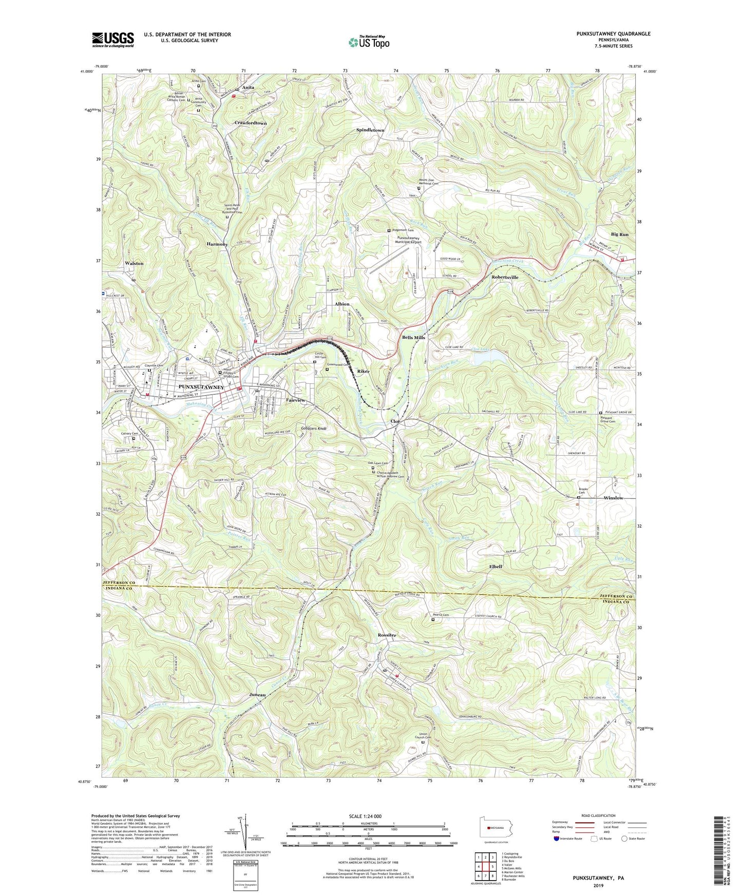
Punxsutawney Pennsylvania US Topo Map
Couldn't load pickup availability
2023 topographic map quadrangle Punxsutawney in the state of Pennsylvania. Scale: 1:24000. Based on the newly updated USGS 7.5' US Topo map series, this map is in the following counties: Jefferson, Indiana. The map contains contour data, water features, and other items you are used to seeing on USGS maps, but also has updated roads and other features. This is the next generation of topographic maps. Printed on high-quality waterproof paper with UV fade-resistant inks.
Quads adjacent to this one:
West: Valier
Northwest: Coolspring
North: Reynoldsville
Northeast: Du Bois
East: McGees Mills
Southeast: Burnside
South: Rochester Mills
Southwest: Marion Center
This map covers the same area as the classic USGS quad with code o40078h8.
Contains the following named places: Adrian - Anita Roman Catholic Cemetery, Adrian Mines, Albion, Anita Cemetery, Anita Community Cemetery, Anita Post Office, B and O Terminal, Bell Township Elementary School, Bells Mills, Bells School, Big Run, Big Run Area Volunteer Fire Department Station 17, Big Run Elementary School, Borough of Big Run, Borough of Punxsutawney, Brooks Cemetery, Calvary Cemetery, Canoe Creek, Cherva Agudath Achuin Hebrew Cemetery, Circle Hill Cemetery, Clayville Cemetery, Cloe, Cloe Dam, Cloe Lake, Cold Spring Run, Couch Run, Couch School, Crawfordtown, Crawfordtown Delancey Post Office, De Lancey Post Office, Elbell, Elk Run, Elk Run Junction, Fairview, Foxburg, Gobblers Knob, Graffius Run, Greenwood Cemetery, Grube School, Harmony, Hoeh School, Jackson Run, Jefferson County Emergency Medical Services Station 50, Johnsonburg, Juneau, Little Elk Run, McCalmont Township Volunteer Fire Department Station 16, McKee School, Mount Zion Memorial Cemetery, North Findley Street Cemetery, Oak Lawn Cemetery, Painter Run, Pearce Cemetery, Pleasant Grove Cemetery, Pleasant Grove Church, Punxsutawney, Punxsutawney Area Hospital, Punxsutawney Area Senior High School, Punxsutawney Central Fire Department Station 20, Punxsutawney Fire Department Elk Run Station 30, Punxsutawney Fire Department Lindsey Station 40, Punxsutawney Municipal Airport, Punxsutawney Police Department, Punxsutawney Post Office, Ridgemont Cemetery, Riker, Robertsville, Rock Run, Rossiter, Rossiter Census Designated Place, Rossiter Dam, Rossiter Post Office, Rossiter Station, Rossiter Volunteer Fire Department Station 340, Saint Marks Church, Saints Peter and Paul Byzantine Cemetery, Sawmill Run, Smith Run, Snyder School, Spindletown, Steffy Chapel, Thomas School, Township of Bell, Township of Young, Trout Run, Trout Run School, Ugly Run, Union Church, Union Church Cemetery, Walston, Walston Post Office, West End Elementary School, Windfall Run, Winslow, ZIP Codes: 15715, 15733, 15767, 15781


