MyTopo
Burnside Pennsylvania US Topo Map
Couldn't load pickup availability
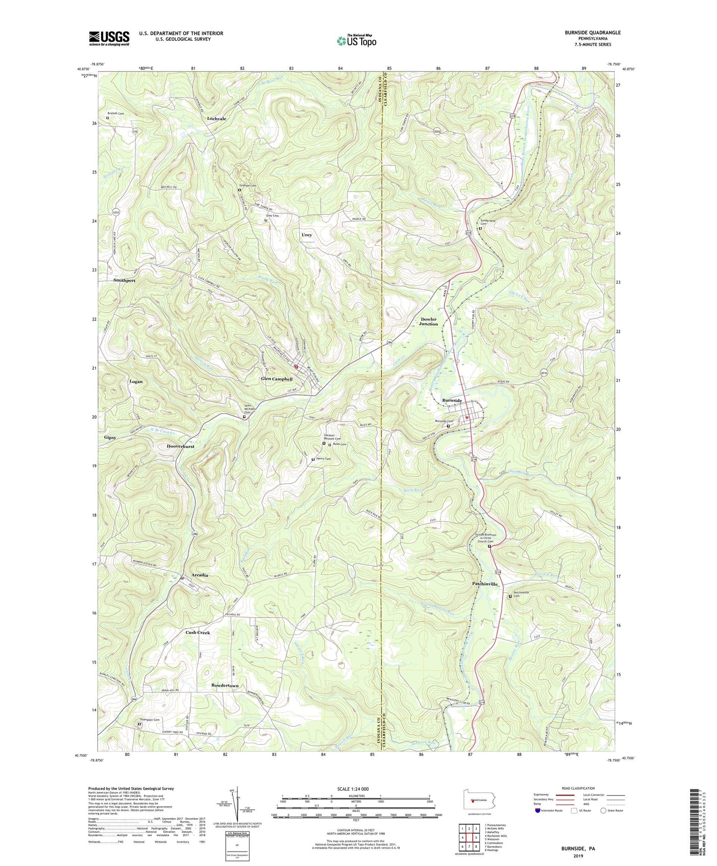
2023 topographic map quadrangle Burnside in the state of Pennsylvania. Scale: 1:24000. Based on the newly updated USGS 7.5' US Topo map series, this map is in the following counties: Indiana, Clearfield. The map contains contour data, water features, and other items you are used to seeing on USGS maps, but also has updated roads and other features. This is the next generation of topographic maps. Printed on high-quality waterproof paper with UV fade-resistant inks.
Quads adjacent to this one:
West: Rochester Mills
Northwest: Punxsutawney
North: McGees Mills
Northeast: Mahaffey
East: Westover
Southeast: Hastings
South: Barnesboro
Southwest: Commodore
This map covers the same area as the classic USGS quad with code o40078g7.
Contains the following named places: Arcadia, Arcadia Post Office, Beaver Run, Boiling Spring Run, Borough of Burnside, Borough of Glen Campbell, Bowdertown, Brady Run, Brickell Cemetery, Burnside, Burnside Cemetery, Chetremon Golf Course, Crossroads School, Cush, Cush Creek, Cush Creek Junction, Cush Creek School, Deer Run, Dowler Junction, Elk Lick Run, Elklick School, Gardner - Bennett Cemetery, Glen Campbell, Glen Campbell Fire Tower, Glen Campbell Post Office, Glen Campbell Volunteer Fire Department - Station 170, Graham Cemetery, Henry Cemetery, Hooverhurst, Horton Run, Lochvale, Logan, Martin Run, Mount Airie, North Run, Patchin Run, Patchinville, Patchinville Cemetery, Peles Cemetery, Pine Grove Church, Pine Grove School, Powell Run, Raytown, Ridge, Rock Run, Rock Run School, Rowley School, Saint Michaels Cemetery, Saint Michaels Church, Saints Peter and Paul Church, Sawmill Run, Sentry Volunteer Fire Company Station 64, Shryock Run, Smithville, Sunderland Cemetery, Susquehanna Church, Thompson Cemetery, Township of Banks, Township of Burnside, Township of Montgomery, United Brethren in Christ Church Cemetery, Urey, Urey Cemetery, West Branch Cush Creek, ZIP Codes: 15712, 15721, 15742


