MyTopo
Saltillo Pennsylvania US Topo Map
Couldn't load pickup availability
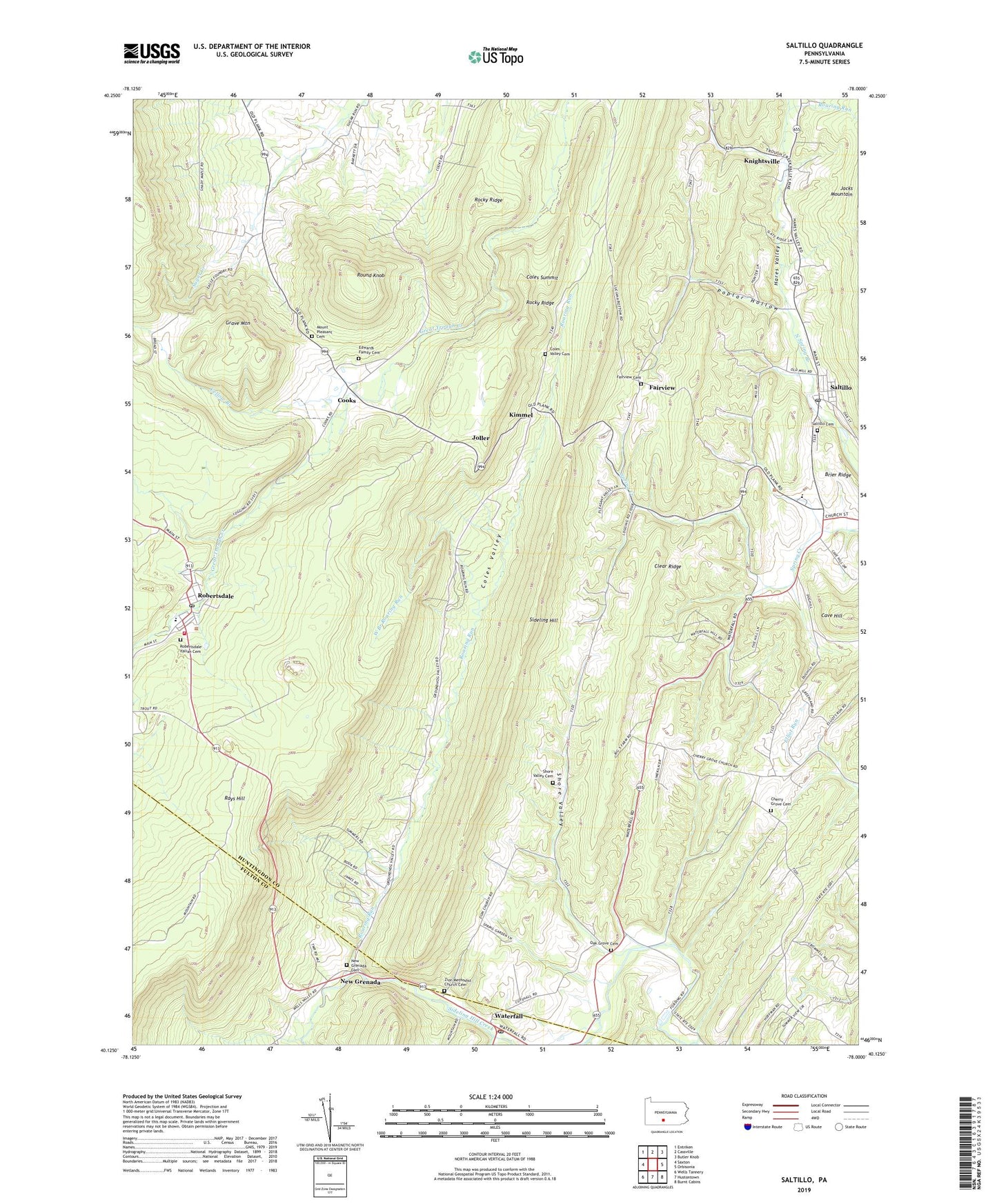
2023 topographic map quadrangle Saltillo in the state of Pennsylvania. Scale: 1:24000. Based on the newly updated USGS 7.5' US Topo map series, this map is in the following counties: Huntingdon, Fulton. The map contains contour data, water features, and other items you are used to seeing on USGS maps, but also has updated roads and other features. This is the next generation of topographic maps. Printed on high-quality waterproof paper with UV fade-resistant inks.
Quads adjacent to this one:
West: Saxton
Northwest: Entriken
North: Cassville
Northeast: Butler Knob
East: Orbisonia
Southeast: Burnt Cabins
South: Hustontown
Southwest: Wells Tannery
This map covers the same area as the classic USGS quad with code o40078b1.
Contains the following named places: Borough of Saltillo, Brier Ridge, Calvary Church, Cave Hill, Cedar Grove School, Center Grove Church, Center Grove School, Cherry Grove Cemetery, Cherry Grove Church, Coles Summit, Coles Valley, Coles Valley Cemetery, Coles Valley Church, Cooks, Eagle Foundry, Eagle Foundry Church, Edwards Family Cemetery, Fairview, Fairview Cemetery, Gracey Trail, Grave Mountain, Green School, Hubelsville, Joller, Kimmel, Knightsville, Meadow Green Church, Meadow Green School, Mount Pleasant Cemetery, New Grenada, New Grenada Cemetery, Oak Grove Cemetery, Oak Grove Church, Oak Grove School, Pine Grove School, Poplar Hollow, Roaring Run, Robertsdale, Robertsdale Elementary School, Robertsdale Italian Cemetery, Robertsdale Post Office, Robertsdale Wood Broadtop Volunteer Fire Company Station 17, Rock Hill Lookout Tower, Rocky Ridge, Round Knob, Saltillo, Saltillo Cemetery, Saltillo Post Office, Shore Valley, Shore Valley Cemetery, Spring Farms Elementary School, State Game Lands Number 121, Taylor School, Three Springs Farm School, Township of Clay, Township of Wood, Trough Creek Valley, Waterfall, Waterfall Post Office, West Branch Roaring Run, Yellow Branch, Zion Church, Zion Methodist Church Cemetery, ZIP Codes: 16674, 17253


