MyTopo
Slickville Pennsylvania US Topo Map
Couldn't load pickup availability
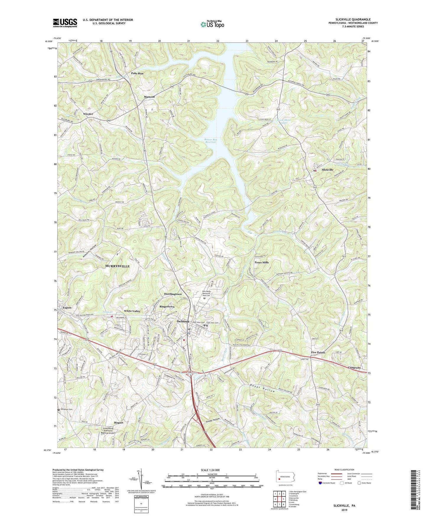
2023 topographic map quadrangle Slickville in the state of Pennsylvania. Scale: 1:24000. Based on the newly updated USGS 7.5' US Topo map series, this map is in the following counties: Westmoreland. The map contains contour data, water features, and other items you are used to seeing on USGS maps, but also has updated roads and other features. This is the next generation of topographic maps. Printed on high-quality waterproof paper with UV fade-resistant inks.
Quads adjacent to this one:
West: Murrysville
Northwest: New Kensington East
North: Vandergrift
Northeast: Avonmore
East: Saltsburg
Southeast: Latrobe
South: Greensburg
Southwest: Irwin
This map covers the same area as the classic USGS quad with code o40079d5.
Contains the following named places: Armitage and Artman Delmont Airport, Beaver Run Reservoir, Boggs Hollow, Boquet, Borough of Delmont, Borough of Export, Brook Shore Lakes, Clover Leaf Lake, Cloverleaf Golf Course, Congruity, Cornerstone Ministries Church, Crooked Run, Delmont, Delmont Borough Police Department, Delmont Compressor Station, Delmont Post Office, Delmont Public Library, Delmont Volunteer Fire Department, Dunningtown, East View Cemetery, Elrico Park, Elrico School, Five Points, Greensburg Jeannette Regional Airport, Holy Ghost Church, J Arthur Duff Elementary School, Life Flight 6 Greensburg - Jeannette Regional Airport, Mamont, Mamont School, Mutual Aid Ambulance Service Delmont, Oakford Pumping Station, Park View Church, Poke Run, Poke Run Church, Porters Run, Ringertown, Saint Johns Church, Saint Sylvester Church, Salem Crossroads Day Care Center, Sleepy Hollow, Slickville, Slickville Census Designated Place, Slickville Post Office, Slickville Volunteer Fire Department Station 59 Salem Township Company 1, Sloan Elementary School, Thorn Run, Tombers Lake, Township of Salem, Trees Mills, Trinity Church, Twin Valley Memorial Park Cemetery, Westmoreland County Food Bank, White Valley, White Valley Volunteer Fire Department, Wiester, William Penn Day Care and Learning Center, Woodlawn Cemetery, ZIP Codes: 15626, 15632, 15684


