MyTopo
Avonmore Pennsylvania US Topo Map
Couldn't load pickup availability
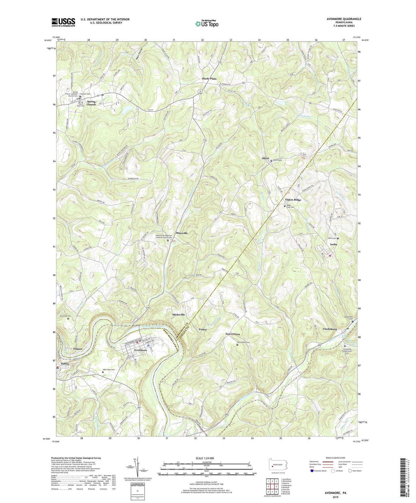
2023 topographic map quadrangle Avonmore in the state of Pennsylvania. Scale: 1:24000. Based on the newly updated USGS 7.5' US Topo map series, this map is in the following counties: Armstrong, Indiana, Westmoreland. The map contains contour data, water features, and other items you are used to seeing on USGS maps, but also has updated roads and other features. This is the next generation of topographic maps. Printed on high-quality waterproof paper with UV fade-resistant inks.
Quads adjacent to this one:
West: Vandergrift
Northwest: Leechburg
North: Whitesburg
Northeast: Elderton
East: McIntyre
Southeast: Blairsville
South: Saltsburg
Southwest: Slickville
This map covers the same area as the classic USGS quad with code o40079e4.
Contains the following named places: Apollo-Ridge High School, Avonmore, Avonmore Boro Police Department, Avonmore Life Savers Emergency Medical Services, Avonmore Post Office, Avonmore Public Library, Avonmore Station, Avonmore Volunteer Fire Department, Bell Township Volunteer Fire Department, Big Run, Blacklegs Creek, Boiling Springs Church, Borough of Avonmore, Clarksburg, Clarksburg Church, Clarksburg Post Office, Clarksburg Presbyterian Cemetery, Covenenter Cemetery, Edmon, Edri, Elders Ridge, Elders Ridge Joint High School, Fairview Cemetery, Foster, Harpers Run, Hicksville, Horrell School, Iselin, Iselin / West Lebanon Volunteer Fire Department Station 310, Iselin Cemetery, J and W Landing Strip, Long Run, Long Run Post Office, Marshall Run, Maysville, Maysville Evangelical Lutheran Church Cemetery, Nowrytown, Nowrytown Cemetery, Olivet, Olivet Cemetery, Ridge View Cemetery, Salina, Salina Post Office, Shady Plain, Spring Church, Spring Church Joint Cemetery, Spring Church Lutheran Church Cemetery, Spring Church Post Office, Sulphur Run, Sunnyside Elementary School, Townsend Cemetery, Township of Conemaugh, Township of Kiskiminetas, West View Cemetery, Wolford Run, ZIP Codes: 15618, 15680, 15681, 15686


