MyTopo
Snow Shoe Pennsylvania US Topo Map
Couldn't load pickup availability
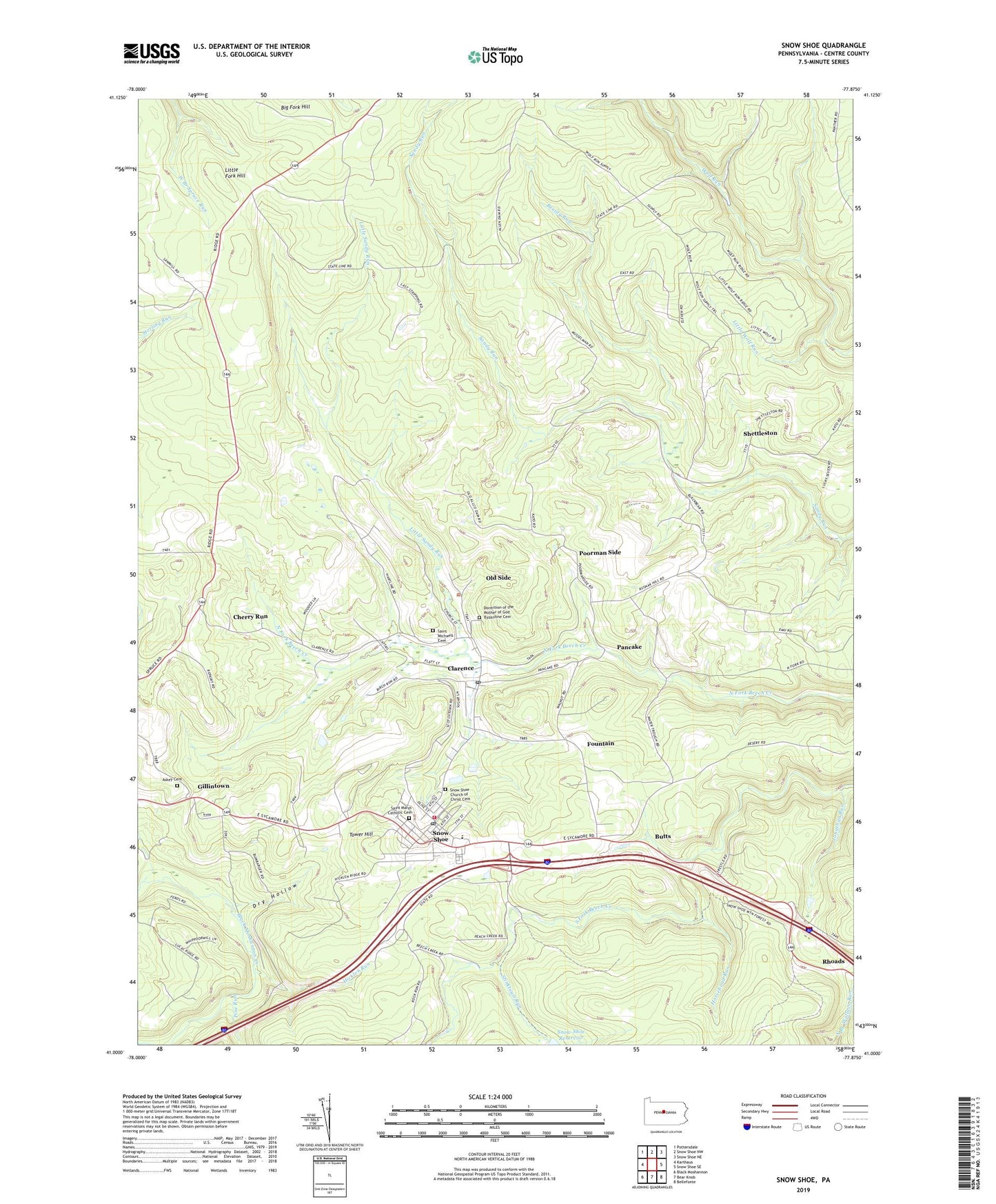
2023 topographic map quadrangle Snow Shoe in the state of Pennsylvania. Scale: 1:24000. Based on the newly updated USGS 7.5' US Topo map series, this map is in the following counties: Centre. The map contains contour data, water features, and other items you are used to seeing on USGS maps, but also has updated roads and other features. This is the next generation of topographic maps. Printed on high-quality waterproof paper with UV fade-resistant inks.
Quads adjacent to this one:
West: Karthaus
Northwest: Pottersdale
North: Snow Shoe NW
Northeast: Snow Shoe NE
East: Snow Shoe SE
Southeast: Bellefonte
South: Bear Knob
Southwest: Black Moshannon
This map covers the same area as the classic USGS quad with code o41077a8.
Contains the following named places: Askey Cemetery, Beauty Camp, Beauty Run, Beech Creek Lodge, Big Fork Hill, Big Sandy Trail, Borough of Snow Shoe, Butts, Chambers Camp, Cherry Run, Cherry Run School, Clarence, Clarence Census Designated Place, Clarence Post Office, Contrary Run, Dead Horse Trail, Dormition of the Mother of God Byzantine Cemetery, Dry Hollow, Dry Run, Fountain, Gillintown, Gillintown Mines Station, Hartline Camp, Hicklen Run, Horsehead Run, JBM Mines Station, Jonathan Run, Little Fork Hill, Little Sandy Run, Little Wolf Run, Musellmans Crossing, Old Side, Pancake, Pine Run, Poorman Side, Poorman Side School, Rhoads, Rock Run Trail, Saint Marys Catholic Cemetery, Saint Michaels Cemetery, Shettleston, Snow Shoe, Snow Shoe Church of Christ Cemetery, Snow Shoe Emergency Medical Services Company 29, Snow Shoe Fire Company 6, Snow Shoe Fire Tower, Snow Shoe Post Office, Snow Shoe Reservoir, Snow Shop Station, Star School, Stinktown Run, Sunday Corners, Swanset Camp, Tower Hill, Township of Snow Shoe, Wolf Run Trail, ZIP Code: 16829


