MyTopo
Bennettsville North South Carolina US Topo Map
Couldn't load pickup availability
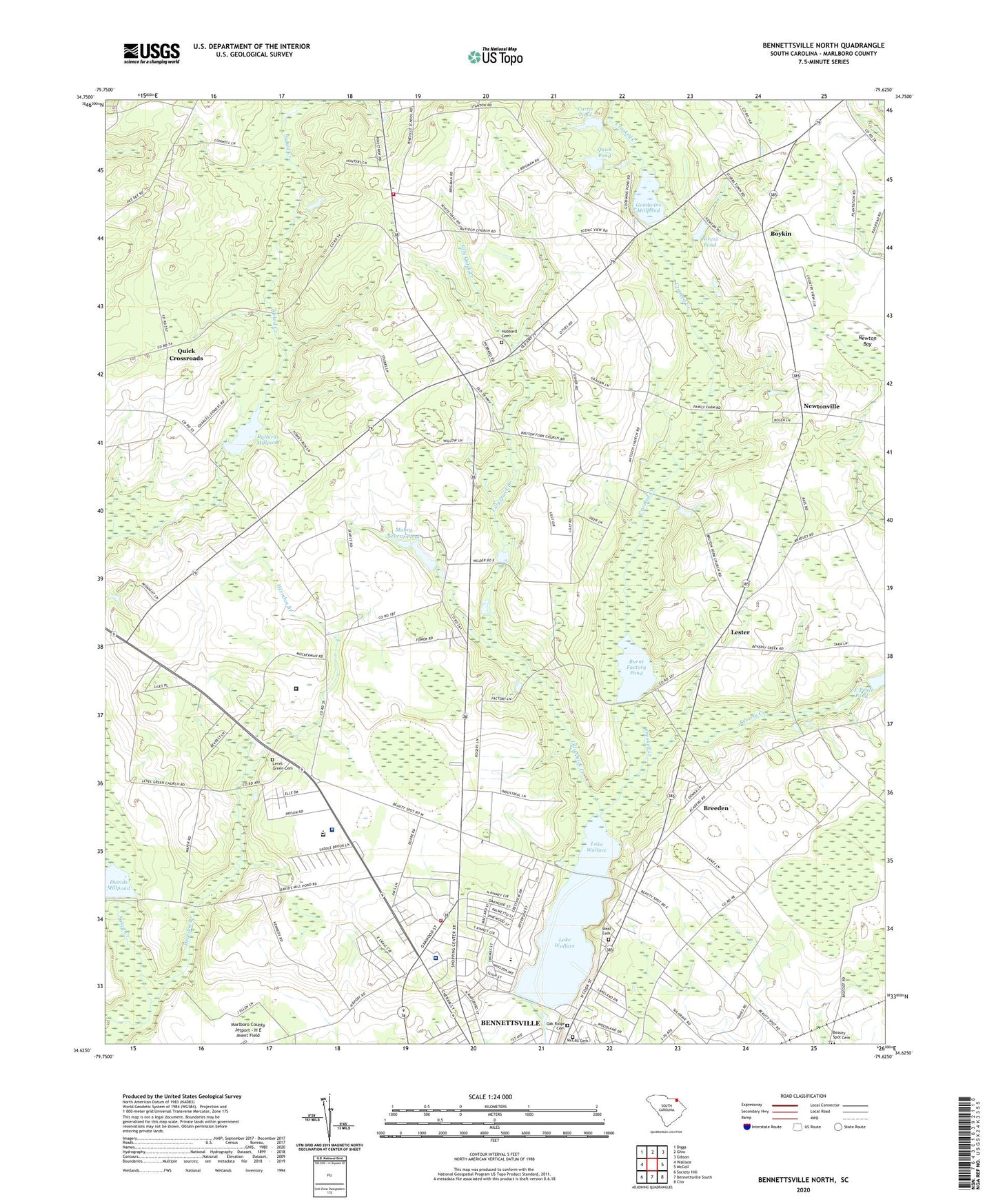
2024 topographic map quadrangle Bennettsville North in the state of South Carolina. Scale: 1:24000. Based on the newly updated USGS 7.5' US Topo map series, this map is in the following counties: Marlboro. The map contains contour data, water features, and other items you are used to seeing on USGS maps, but also has updated roads and other features. This is the next generation of topographic maps. Printed on high-quality waterproof paper with UV fade-resistant inks.
Quads adjacent to this one:
West: Wallace
Northwest: Diggs
North: Ghio
Northeast: Gibson
East: McColl
Southeast: Clio
South: Bennettsville South
Southwest: Society Hill
This map covers the same area as the classic USGS quad with code o34079f6.
Contains the following named places: Antioch Church, Ballard Pond Dam D-3442, Beauty Spot Cemetery, Bennettsville Division, Bennettsville Fire Department Northside, Bennettsville Primary School, Bethel Church, Bethel United Methodist Church Graveyard, Beverly Creek, Boykin, Boykin Church, Boykin School, Breeden, Brightsville Fire Department, Brightsville School, Brightville School, Brutons Fork, Brutons Fork Church, Bullards Mill, Bullards Millpond, Burnt Factory, Burnt Factory Pond, Century Acres, City of Bennettsville, Country Club Heights, Curtis Pond, Curtis Pond Dam D-3436, Dargan School, Davids Mill, Davids Millpond, Eastside Junior High School, Evans Correctional Institution, Evans Correctional Institution Infirmary, Federal Correctional Institution Bennettsville, Goodwins Chapel, Goodwins Mill, Goodwins Millpond, Herndon Branch, Hubbard Cemetery, Ideal Cemetery, Lake Terrace, Lake Wallace, Lakeside, Lester, Lester School, Level Green Church, Level Green School, Level Green United Methodist Church Graveyard, Lilly Quick Creek, Mabry Searcy Pond, Marlboro Academy, Marlboro County Industrial and High School, Marlboro Park Hospital, McCall Cemetery, Moores Mill, New Hill Church, Newton Bay, Newtonville, Oak Ridge Cemetery, Old Gailee Church, Old Smyrna Church, Pee Dee State Designated Tribal Statistical Area, Quick Crossroads, Quick Pond, Quick Pond Dam D-3437, Rivers Pond, Rivers Pond Dam D-3438, Roper Grove School, Saint James Church, Shiloh Church, South Carolina Noname 35004 D-3450 Dam, South Carolina Noname 35008 Dam, South Carolina Noname 35009 D-3444 Dam, South Carolina Noname 35012 D-3455 Dam, South Carolina Noname 35036 D-3443 Dam, Symrna Church, Washington Temple, WBSC-AM (Bennettsville), Wesley Church, Wesleyan Church


