MyTopo
Girard NW South Carolina US Topo Map
Couldn't load pickup availability
Also explore the Girard NW Forest Service Topo of this same quad for updated USFS data
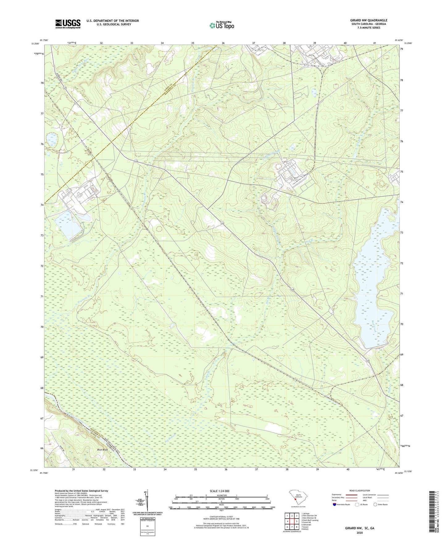
2024 topographic map quadrangle Girard NW in the states of South Carolina, Georgia. Scale: 1:24000. Based on the newly updated USGS 7.5' US Topo map series, this map is in the following counties: Barnwell, Aiken, Burke. The map contains contour data, water features, and other items you are used to seeing on USGS maps, but also has updated roads and other features. This is the next generation of topographic maps. Printed on high-quality waterproof paper with UV fade-resistant inks.
Quads adjacent to this one:
West: Shell Bluff Landing
Northwest: Jackson
North: New Ellenton SW
Northeast: New Ellenton SE
East: Girard NE
Southeast: Millett
South: Girard
Southwest: Alexander
This map covers the same area as the classic USGS quad with code o33081b6.
Contains the following named places: Ashley Place, Beaverdam Creek, Blue Bluff, Brinleys Mill, Cassels Fire Tower, Castles Pond, Chandler Landing, Daisy May Church, Four Mile Church, Four Mile School, Fourmile Branch, Friendship Church, Griffins Store, Indian Grave Branch, Leigh, Long Branch School, Meyers Branch, Park School, Parks Church, Robbins, Robbins Station, Saint Luke Church, Srp Number 16-403-D D-3073 Dam, Srp Number 18-488-10 D-3077 Dam, Steel Creek School, Substation Number 1, Substation Number 3, Vegp Visitor Center Heliport