MyTopo
Indian Camp Branch South Carolina US Topo Map
Couldn't load pickup availability
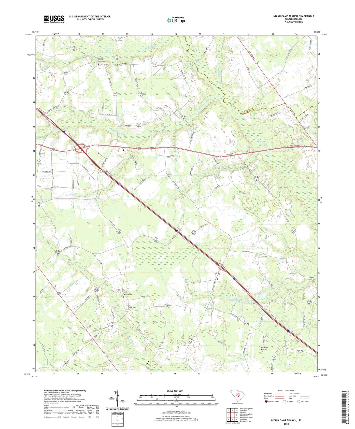
2024 topographic map quadrangle Indian Camp Branch in the state of South Carolina. Scale: 1:24000. Based on the newly updated USGS 7.5' US Topo map series, this map is in the following counties: Orangeburg, Calhoun. The map contains contour data, water features, and other items you are used to seeing on USGS maps, but also has updated roads and other features. This is the next generation of topographic maps. Printed on high-quality waterproof paper with UV fade-resistant inks.
Quads adjacent to this one:
West: Orangeburg South
Northwest: Orangeburg North
North: Cameron
Northeast: Elloree
East: Felderville
Southeast: Wadboo Swamp
South: Bowman
Southwest: Branchville North
This map covers the same area as the classic USGS quad with code o33080d6.
Contains the following named places: Andrew Chapel, Andrews Chapel, Bowman Fire Department, Brookland Boys Home, Brunson Pond, Cotton Lane Farms, East Middle School, Fair School, Four Hole Baptist Church, Four Hole School, Four Holes Baptist Church Cemetery, Indian Camp Branch, Indian Camp School, Jericho Church, Livingston Mill School, McKeowen Farms, Middle Pen Swamp, Moorers Mill, Mount Zion Church, New Mount Zion Cemetery, Orangeburg County Fire Department Maintenance Building, Pineville Cemetery, Pineville Church, Pineville School, Pitthan V Cemetery, Polk Spring Creek, Shamrock Commercial Center, Shiloh Cemetery, Shiloh Church, South Carolina Noname 38015 D-3773 Dam, Walnut Grove Baptist Church, Walnut Grove Cemetery, Wentling Memorial Chapel, West Middle Fire Department, West Middle Fire Department Station 2, West Middle School, White House Church