MyTopo
New Ellenton SE South Carolina US Topo Map
Couldn't load pickup availability
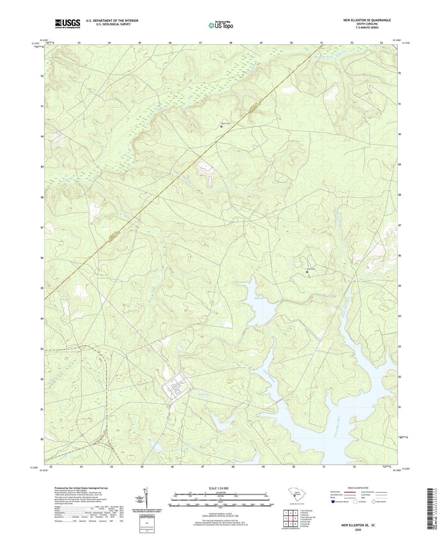
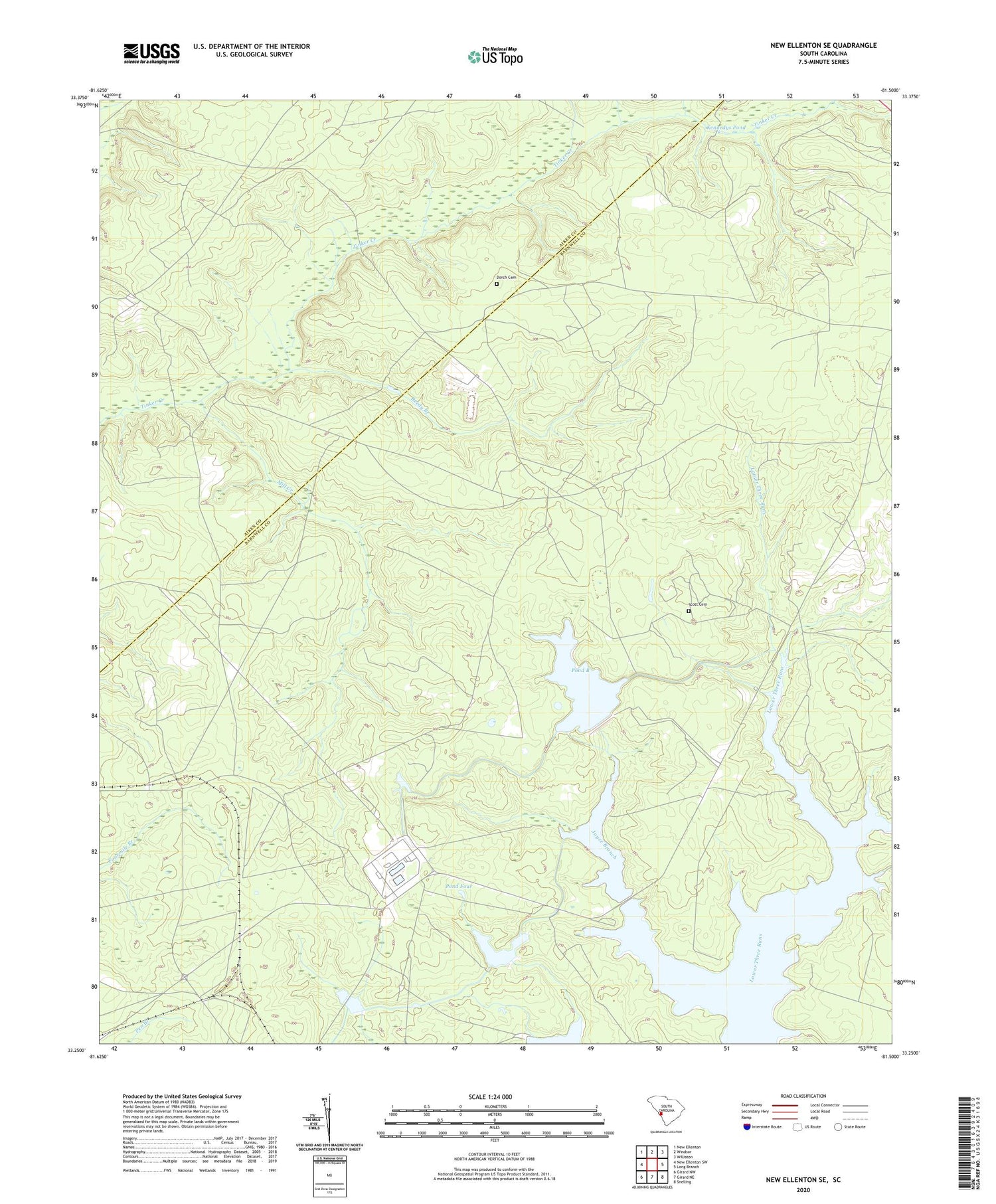
2020 topographic map quadrangle New Ellenton SE in the state of South Carolina. Scale: 1:24000. Based on the newly updated USGS 7.5' US Topo map series, this map is in the following counties: Barnwell, Aiken. The map contains contour data, water features, and other items you are used to seeing on USGS maps, but also has updated roads and other features. This is the next generation of topographic maps. Printed on high-quality waterproof paper with UV fade-resistant inks.
Quads adjacent to this one:
West: New Ellenton SW
Northwest: New Ellenton
North: Windsor
Northeast: Williston
East: Long Branch
Southeast: Snelling
South: Girard NE
Southwest: Girard NW
Contains the following named places: Canaan Church, Corleys Mill Pond, Dorch Cemetery, Fair Branch Church, Fair Branch School, Fairmont Church, Green Branch School, Greenland, Greenland School, Gum Pond School, Hailey Branch School, Hawthorne Fire Tower, Joyce Branch, Joyce Branch Church, Kennedys Pond, Mill Creek, Mossy School, Mount Pleasant School, Pleasant Hill Church, Pond B, Pond Five, Pond Four, Pond Two, Pump House Number 6, Reedy Branch, Saint Johns Church, Savannah River Plant Pond B D-3078 Dam, Savannah River Plant Pond Dam Number Five D-3076, Savannah River Plant Pond Dam Number Four D-3075, Savannah River Plant Pond Number Two D-3074 Dam, Scott Cemetery, Thalmans Mill, Zion Grove Church