MyTopo
Vance South Carolina US Topo Map
Couldn't load pickup availability
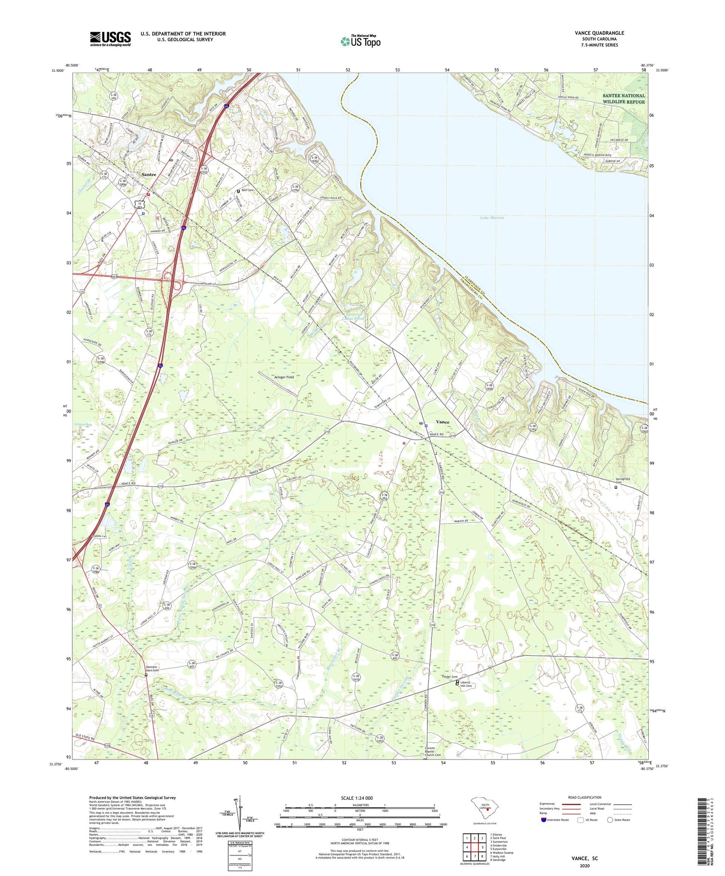
2024 topographic map quadrangle Vance in the state of South Carolina. Scale: 1:24000. Based on the newly updated USGS 7.5' US Topo map series, this map is in the following counties: Orangeburg, Clarendon. The map contains contour data, water features, and other items you are used to seeing on USGS maps, but also has updated roads and other features. This is the next generation of topographic maps. Printed on high-quality waterproof paper with UV fade-resistant inks.
Quads adjacent to this one:
West: Felderville
Northwest: Elloree
North: Saint Paul
Northeast: Summerton
East: Eutawville
Southeast: Sandridge
South: Holly Hill
Southwest: Wadboo Swamp
This map covers the same area as the classic USGS quad with code o33080d4.
Contains the following named places: Avinger Field, Batchelor Branch, Bell Cemetery, Bob Marina, Bull School, Bull Station, Camden Road School, Chapel Hill Church, Church of God, Corinth Baptist Church, Corinth Baptist Church Cemetery, Dantzler - Hart Cemetery, Felder Cemetery, First Baptist Church, Gerizim Church, Gibson Bay, Goodwill-Santee Church, Hinnant Farms, Hope Lutheran Church, Kettle Branch, Lake Marion, Lake Marion Christain Fellowship Church, Lake Marion Golf Course, Lakewood Lodge Pond, Liberty Hill Cemetery, Liberty Hill Church, Live Oak Church, Lodge Hall School, Mill Creek, Millers Pond Dam D-3763, Milligans, Mount Holly School, Mount Pisgah Church, Oak Grove School, Orangeburg County Sheriff's Office, Prince Pond, Rock Hill Church, Rock Hill School, Sanctified Church, Santee, Santee Baptist Church, Santee Fire Department Station 1, Santee Golf Air Strip, Santee Police Department, Santee Post Office, Santee Presbyterian Church, Santee School, Santee Shores Pond Dam D-3746, South Carolina Noname 38020 D-3762 Dam, Springfield Baptist Church, Springfield Cemetery, Town of Santee, Town of Vance, United Holiness Church of Christ Deliverence, Vance, Vance Division, Vance Fire Department, Vance Police Department, Vance Post Office, Vance Providence Elementary School, Webbs Creek, ZIP Code: 29163


