MyTopo
Hill City South Dakota US Topo Map
Couldn't load pickup availability
Also explore the Hill City Forest Service Topo of this same quad for updated USFS data
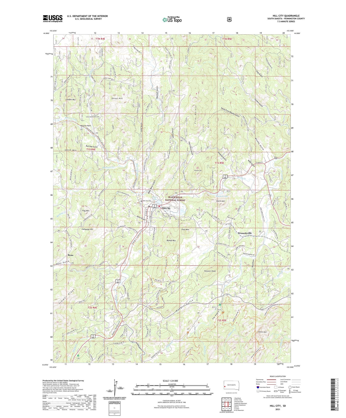
2021 topographic map quadrangle Hill City in the state of South Dakota. Scale: 1:24000. Based on the newly updated USGS 7.5' US Topo map series, this map is in the following counties: Pennington. The map contains contour data, water features, and other items you are used to seeing on USGS maps, but also has updated roads and other features. This is the next generation of topographic maps. Printed on high-quality waterproof paper with UV fade-resistant inks.
Quads adjacent to this one:
West: Medicine Mountain
Northwest: Rochford
North: Silver City
Northeast: Pactola Dam
East: Mount Rushmore
Southeast: Iron Mountain
South: Custer
Southwest: Berne
This map covers the same area as the classic USGS quad with code o43103h5.
Contains the following named places: Addie Lode Mine, Allen Gulch, Annie Number 1 Lode Mine, Antler-Burlington Mine, Battle Creek, Battleax Creek, Bishop Mountain, Black Crystal Mine, Black Hills Country Club, Black Metal Mine, Black Miner Gulch, Blackbird Mine, Bluebird Claim Mine, Buckeye and Lena Mine, Burnt Fork, Campaign Hill, Campaign Mine, Carnbray Mine, Cassiterite Mine, Century Mine, Champion Mine, China Gulch, City of Hill City, Coats Dike Mine, Cowboy Gulch, Cowboy Mine, Crain Mine, Custer Group Mine, Dewey Mine, Dolcode Mine, Dyke Mine, East China Gulch, El Dorado Mine, Eldorado Mine, Elkhorn Mine, Elkhorn Mountain, Empire Mine, Excelsior Mine, February Mine, Five Points, Flag Mountain, Ford Mountain, Gertie Mine, Gold Hill Mine, Gold Mountain Mine, Golden Summit Mine, Good Luck Mine, Greenback Mine, Grizzly Bear Mine, Hay Draw, Hidden Treasure Mine, High Lode Mine, Hill City, Hill City Ambulance Service, Hill City Cemetery, Hill City City Hall, Hill City Community Library, Hill City Elementary School, Hill City High School, Hill City Middle School, Hill City Post Office, Hill City Sewage Lagoon, Hill City Volunteer Fire Department, Humbolt Mountain, Ida Mine, Irwins Ranch, J R Extension Mine, J R Mine, Jolly Mine, Kennedyville, Lena Gulch, Lowden Mountain, Major Lake, Marshall Gulch, Martha Washington Mine, McKinnon and Millers Claim Mine, Mitchell Lake, Mitchell Lake Dam, Mohawk Mine, Monkey Lode Mine, Nelson Creek, Newton Fork, Newton Lake Picnic Grounds, Newton Park, OK Lode Mine, Olympia Mine, Palmer Creek, Patterson Creek, Penalua Gulch, Pettit and Pfanders Claim Mine, Rabbit Gulch, Red Dog Gulch, Reder Ranger Station, Reinbold Claim Mine, Reno, Reno Gulch, Ruby Gulch, Smith Mountain, South Dakota State Railroad Museum, South Fork Whaley Gulch, Storm Hill, Summit Mine, Summit Peak, Sunday Gulch, Sunnyside Mine, Teddy Bear, The Pulpit, Three Forks, Three Forks Campground, Tim Plate Mine, Tin Boom Mine, Tin Center Mine, Tin Chance Mine, Union Hill, Vida May Mine, Whaley Gulch, White Swan Mine, White Whale Mine, Whites Ranch, Willow Creek, Willow Creek Horse Campground, Willow Creek Trail, Wolfram Lode, Woodchuck Mine, Zimmer Ridge


