MyTopo
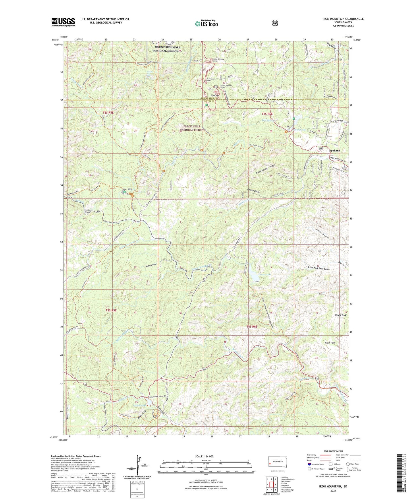
Iron Mountain South Dakota US Topo Map
Couldn't load pickup availability
Also explore the Iron Mountain Forest Service Topo of this same quad for updated USFS data
2021 topographic map quadrangle Iron Mountain in the state of South Dakota. Scale: 1:24000. Based on the newly updated USGS 7.5' US Topo map series, this map is in the following counties: Custer, Pennington. The map contains contour data, water features, and other items you are used to seeing on USGS maps, but also has updated roads and other features. This is the next generation of topographic maps. Printed on high-quality waterproof paper with UV fade-resistant inks.
Quads adjacent to this one:
West: Custer
Northwest: Hill City
North: Mount Rushmore
Northeast: Rockerville
East: Hayward
Southeast: Butcher Hill
South: Mount Coolidge
Southwest: Cicero Peak
This map covers the same area as the classic USGS quad with code o43103g4.
Contains the following named places: Badger Clark Creek, Beryl Feldspar Mine, Big Chief Mine, Big Smoke Mine, Bismuth, Black Elk Wilderness, Black Hills Playhouse, Blackberry Trail, C.C. Gideon Tunnel, Camp Galena, Camp Ivanhoe, Camp Remington, Center Lake, Center Lake Campgrounds, Center Lake Dam, Champion Mine, Clark Park, Coolidge Inn, Custer State Park Fire Department, Custer State Park Headquarters, Cuyahogo Mine, Dike Mine, Doane Robinson Tunnel, Eclipse Group Mine, Eureka Mine, Fern Cliff Prospect Mine, Formosa Mine, Glendale, Glendale Mine, Greyhound Gulch, Grizzly Bear Falls, Grizzly Bear Picnic Ground, Grizzly Creek Trail, Hugo Mine, Iron Creek Horse Camp, Iron Creek Summer Home Group, Iron Creek Trail, Iron Creek Tunnel, Iron Mountain, Iron Mountain Picnic Area, Iron Mountain Trail, Josie Mine, Jumbo Lode Mine, King Lithia Prospect Mine, Lakota Dam, Lakota Lake, Legion Lake, Legion Lake Dam, Maryland Lode Mine, New England Mine, Norbeck Draw, Norbeck Memorial Overlook, Norbeck Memorial Overlook Recreation Site, Norbeck Trail, Norbeck Wildlife Preserve, North Fork Bear Gulch, Otlershagen Prospect Mine, Pink Elephant Beryl Prospect Mine, Potato Gulch, Put Mine, Queen Claim Mine, Scovel Johnson Tunnel, Sheep Draw, Soda Spar Mine, South Fork Bear Gulch, Spokane, Spokane Mine, State Game Lodge, State Park School, Toll Gate Creek, Woodpecker Ridge, Yamboya


