MyTopo
Parker SW South Dakota US Topo Map
Couldn't load pickup availability
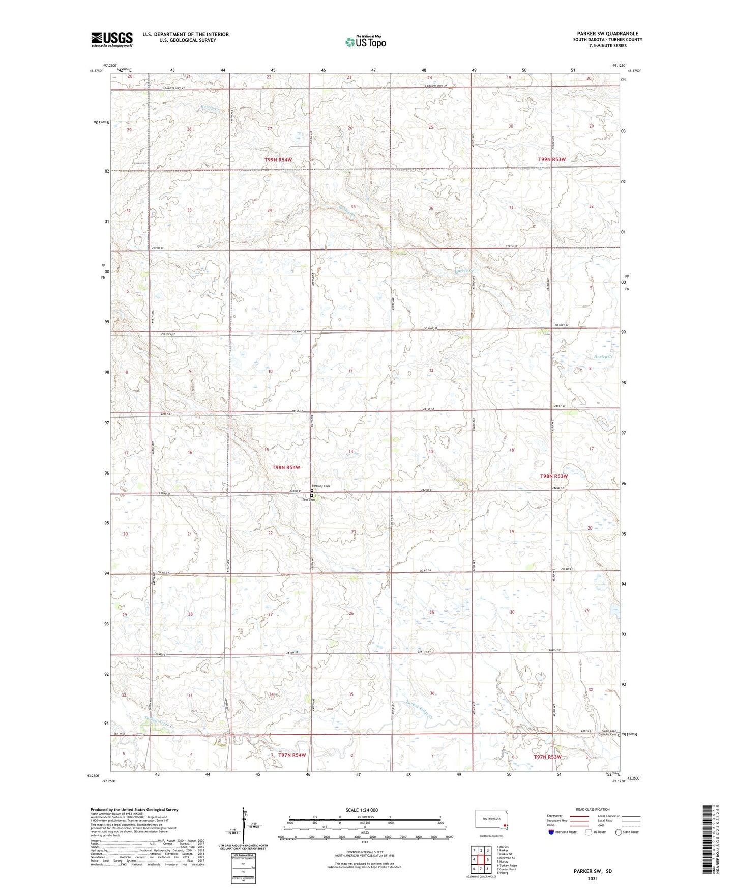
2021 topographic map quadrangle Parker SW in the state of South Dakota. Scale: 1:24000. Based on the newly updated USGS 7.5' US Topo map series, this map is in the following counties: Turner. The map contains contour data, water features, and other items you are used to seeing on USGS maps, but also has updated roads and other features. This is the next generation of topographic maps. Printed on high-quality waterproof paper with UV fade-resistant inks.
Quads adjacent to this one:
West: Freeman SE
Northwest: Marion
North: Parker
Northeast: Parker NE
East: Hurley
Southeast: Viborg
South: Center Point
Southwest: Turkey Ridge
This map covers the same area as the classic USGS quad with code o43097c2.
Contains the following named places: Bethany Cemetery, Dedrick School, McDonald School, Pleasant Ridge School, Prairie Rock School, Swan Lake Catholic Cemetery, Township of Norway, Turner County, Zion Cemetery, ZIP Code: 57036